Subscribe
The information you submit will be stored and used to communicate with you about your interest in Commercial UAV News. To understand more about how we use and store information, please refer to our privacy policy.

Webinars

Commercial UAV webinars feature the best and brightest speakers and organizations in the industry. Listen to speakers from companies like Airspace Link, Carlson Software, DroneUp, Kittyhawk, Measure, Skyward, Skydio, Yellowscan and Yuneec and plenty more discuss the challenges and opportunities they’re encountering in the market.
Live Upcoming Webinars

Tuesday, August 4, 2026 @ 10 AM PST | 1 PM EST | 6 PM BST | Free Webinar
Join DRONERESPONDERS for an exclusive preview of the Public Safety Summit at
… Read More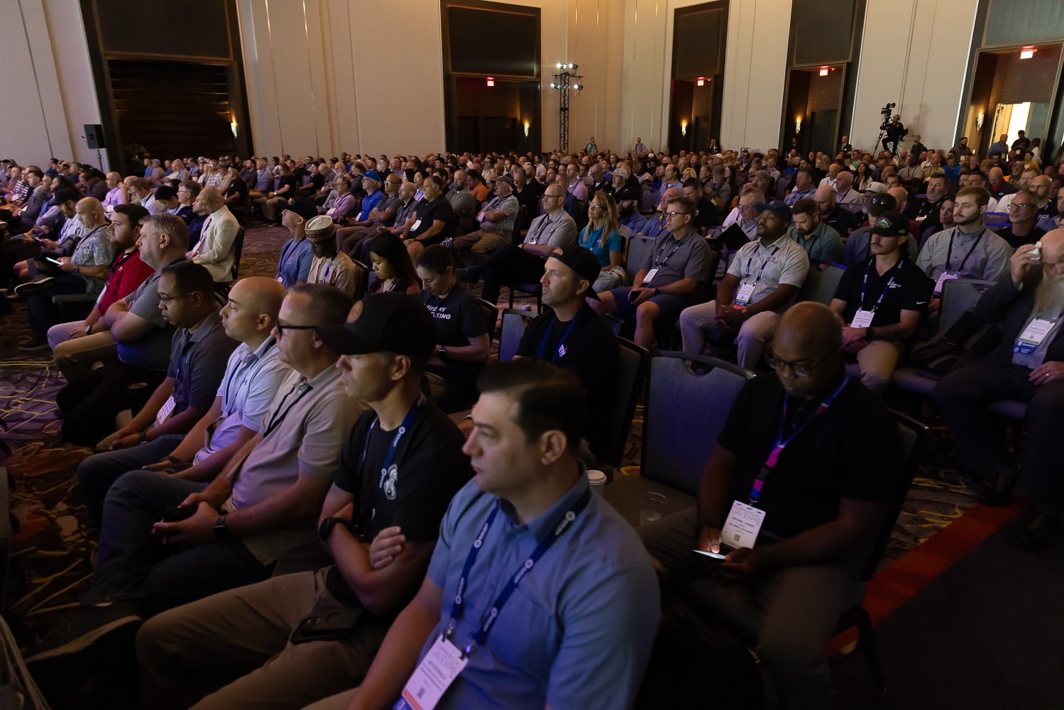
Tuesday, August 11, 2026 @ 10 AM PST | 1 PM EST | 6 PM BST | Free Webinar
Commercial UAV Expo returns to Caesars Forum in Las Vegas this September
On-Demand Webinars
On-demand Webinar | Free
Join host Greg Nagler of Teledyne FLIR with Randall Warnas of Enterprise UAS and Chandler England of Ascending Optics
… Read More
On-demand Webinar | Free
Skydio 3D Scan is a first-of-its-kind adaptive scanning software that automates the data capture process for generating 3D
… Read More
On-demand Webinar | Free
Rapid technological advancements, changes in the regulatory environment, and increased commercial demand are just a few
… Read More
On-demand Webinar | Free
We’ve all been watching the progress of Advanced Air Mobility (AAM). A lot of R&D dollars are being put
… Read More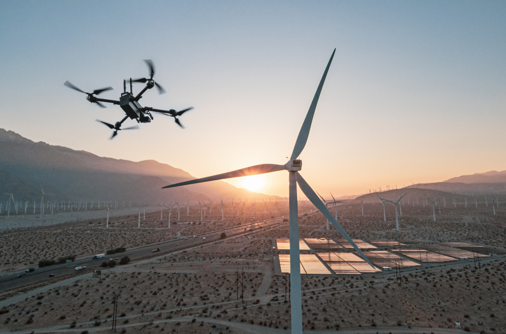
On-demand Webinar | Free
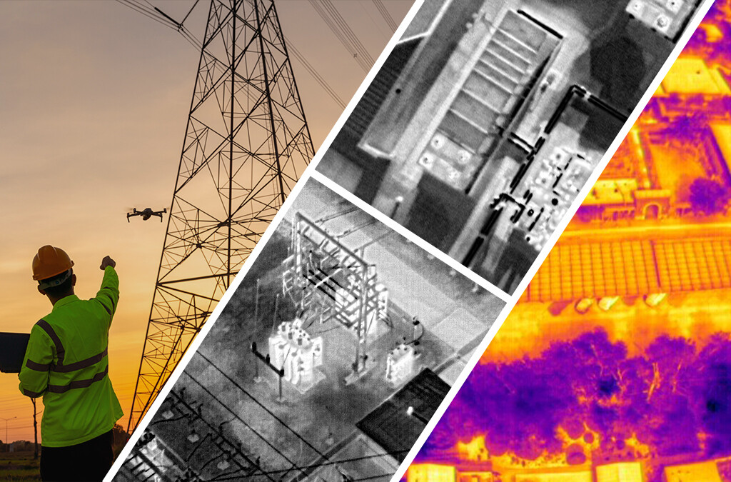
The world’s leading utilities are increasingly turning to drones to assist with inspection of critical infrastructure.
… Read More
On-demand Webinar | Free
What is autonomy? There is no standardized definition in the industry, but we all agree it is important for the future
… Read More
On-demand Webinar | Free
We are excited to announce the availability of Skydio 2+, our newest drone which adds important battery, range,
… Read More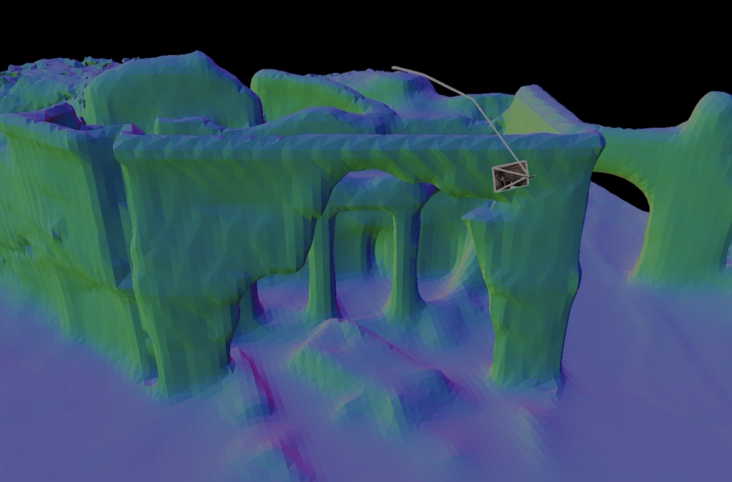
On-demand Webinar | Free
Drones are now recognized as mission-critical tools for a wide range of applications for today’s warfighters.
… Read More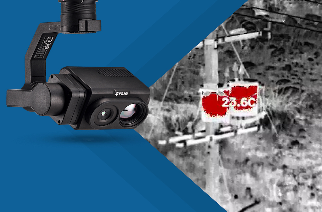
On-demand Webinar | Free
Thermal is an essential tool for UAS pilots, but traditional thermal zoom functions can mean challenges switching
… Read More On-demand Webinar | Free
The needs of the drone industry are constantly changing as technologies, regulations, adoption, and workflows change
… Read More On-demand Webinar | Free
Many construction stakeholders are ready to explore where and how UAVs can make a difference, but the challenges that
… Read More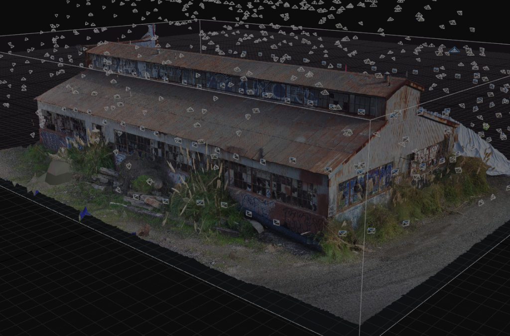
On-demand Webinar | Free
Traditional techniques for asset inspection that require costly heavy machinery, create societal disruption and force
… Read More On-demand Webinar | Free
Drones have revolutionized the surveying and mapping industry. Using drones for surveying and mapping offer enormous
… Read More On-demand Webinar | Free
The value proposition for lidar is increasingly becoming more varied as lidar becomes lighter, smaller, more cost
… Read More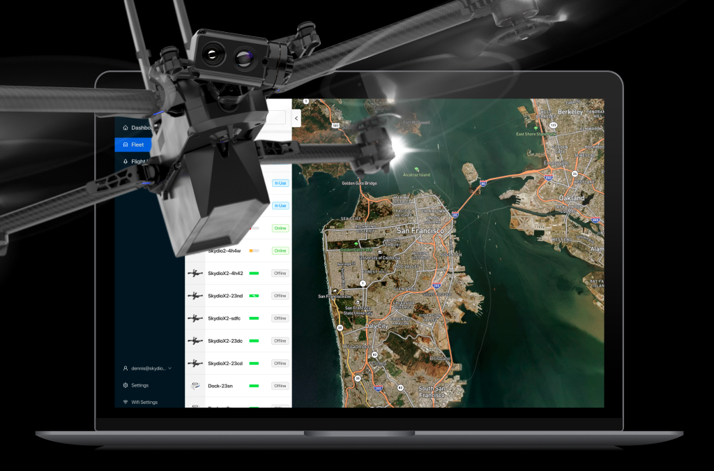
On-demand Webinar | Free
With the myriad benefits autonomous drones provide to their pilots and teams, it is no wonder that autonomous drone
… Read More On-demand Webinar | Free
Commercial UAV News brings together key exhibitors and speakers slated to attend Commercial UAV Expo Americas in Las
… Read More
On-demand Webinar | Free
The commercial adoption of drones is growing quickly, and utilities are no exception. Stakeholders in the energy &
… Read More
On-demand Webinar | Free
Performing inspections and maintenance tasks on critical civil infrastructure like bridges and roads are essential.
… Read More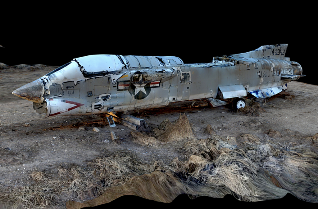
On-demand Webinar | Free
On June 2, Skydio is hosting the biggest virtual event in our company history, “The Era of Autonomous
… Read More
On-demand Webinar | Free
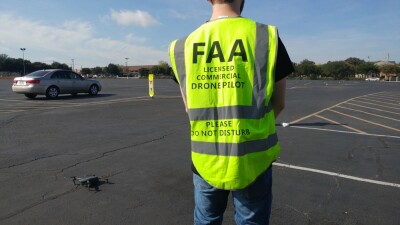
Ensuring Safe and Secure Drone Operations Being able to demonstrate to stakeholders like the FAA, the public, and your
… Read MoreSubscribe to our Newsletter
Subscribe to our weekly newsletter, delivering news and market information about commercial drones.
Subscribe

Featured Authors


Newsletter Signup
Our Events


Our Events
September 1-3, 2026 • Las Vegas
February 23-25, 2027 • Salt Lake City