Subscribe
The information you submit will be stored and used to communicate with you about your interest in Commercial UAV News. To understand more about how we use and store information, please refer to our privacy policy.

Webinars

Commercial UAV webinars feature the best and brightest speakers and organizations in the industry. Listen to speakers from companies like Airspace Link, Carlson Software, DroneUp, Kittyhawk, Measure, Skyward, Skydio, Yellowscan and Yuneec and plenty more discuss the challenges and opportunities they’re encountering in the market.
Live Upcoming Webinars

Tuesday, August 4, 2026 @ 10 AM PST | 1 PM EST | 6 PM BST | Free Webinar
Join DRONERESPONDERS for an exclusive preview of the Public Safety Summit at
… Read More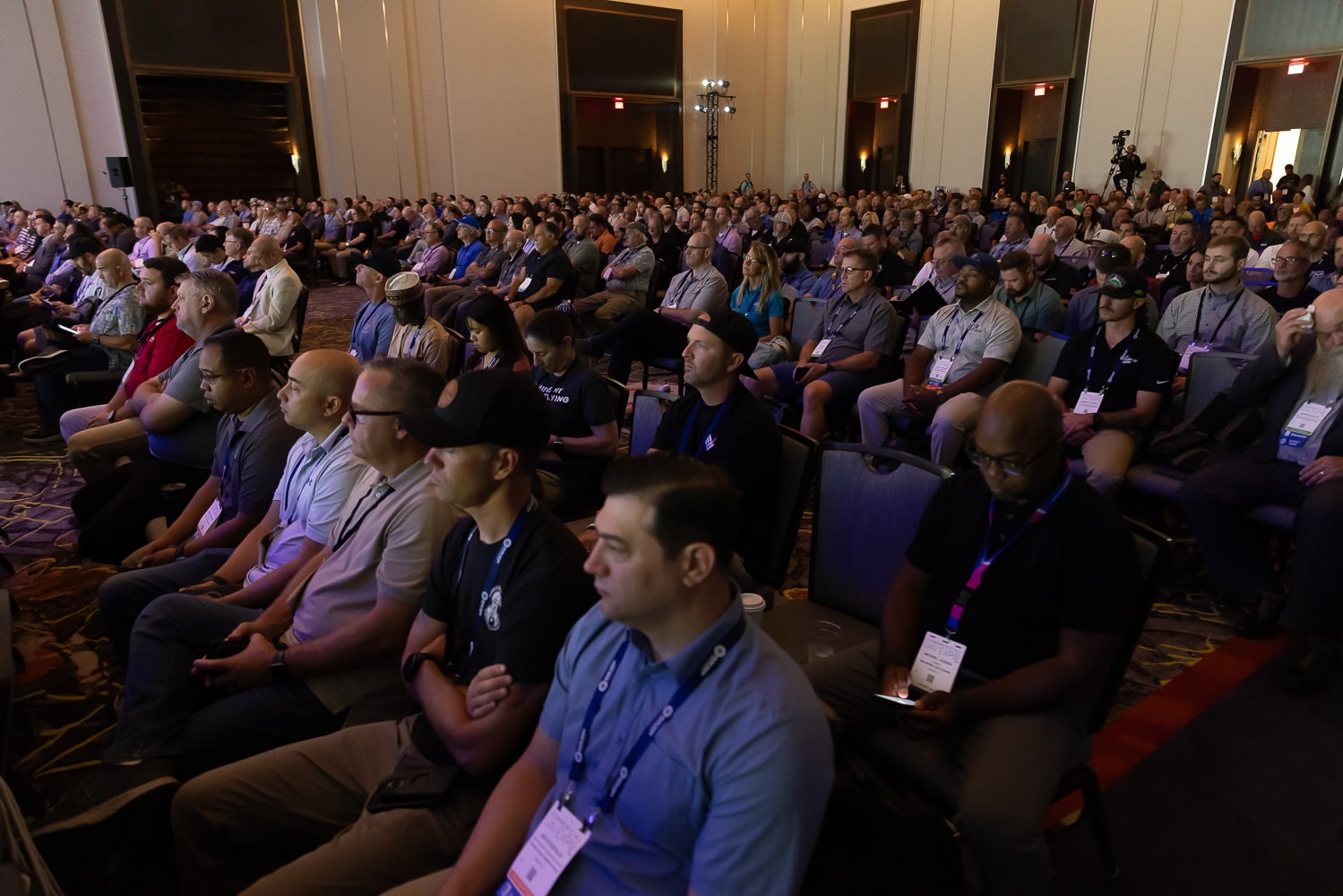
Tuesday, August 11, 2026 @ 10 AM PST | 1 PM EST | 6 PM BST | Free Webinar
Commercial UAV Expo returns to Caesars Forum in Las Vegas this September
On-Demand Webinars
On-demand Webinar | Free
Join Ted Strazimiri, CEO of SkyDeploy, and Travis Sachs, COO of 3DS Technologies, along with Skydio for a sneak peek into the
… Read More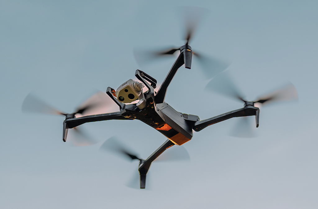
On-demand Webinar | Free
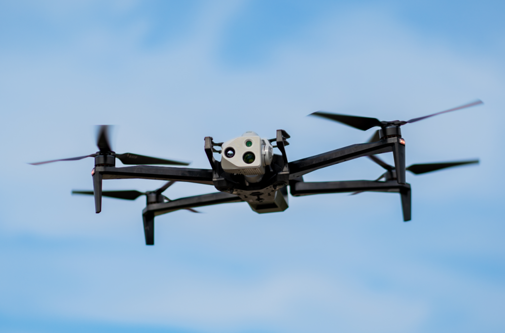
Join us for a deep dive into the cutting-edge sensor landscape and key image quality factors shaping today's drone technology.
… Read More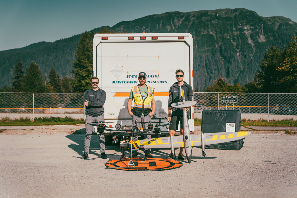
On-demand Webinar | Free
In this webinar, we delve into the remarkable partnership between Frontier Precision Unmanned and the Alaska Department of
… Read More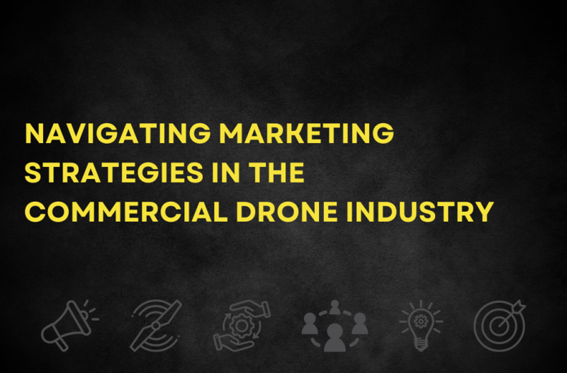
On-demand Webinar | Free
Join this expert panel discussion as we delve into the dynamic world of marketing in the commercial drone industry, exploring
… Read More
On-demand Webinar | Free
From conventional batteries to hydrogen to tethered cables to solar, there are many ways to power a drone. But what is the best
… Read More
On-demand Webinar | Free
According to many experts, UAM/drone corridors are essential to the safe and effective integration of uncrewed aircraft into our
… Read More
On-demand Webinar | Free
Drones have revolutionized underground mapping operations. With their ability to operate in dark and dangerous environments,
… Read More
On-demand Webinar | Free
Routine beyond visual line of sight (BVLOS) operations are on the horizon, but what do you really need to go BVLOS?
… Read More
On-demand Webinar | Free
Autonomous drones have the potential to revolutionize various industries - like construction, mining, agriculture, and
… Read More
On-demand Webinar | Free
Drones are being utilized to enable countless tasks to be performed in faster, cheaper and safer ways, but their
… Read More
On-demand Webinar | Free
Drone-in-a-box solutions have the potential to enable drone operations that are fully automated, industrial grade and
… Read More
On-demand Webinar | Free
The power and potential of uncrewed technology in aerial surveying is seemingly limitless. As technology continues to
… Read More On-demand Webinar | Free
Sensors for drones are increasingly being used for surveying to inspection tasks in industries that range from mining
… Read More
On-demand Webinar | Free
Infrastructure inspection is one of the most widely used and impactful applications of commercial drones. Conducting
… Read More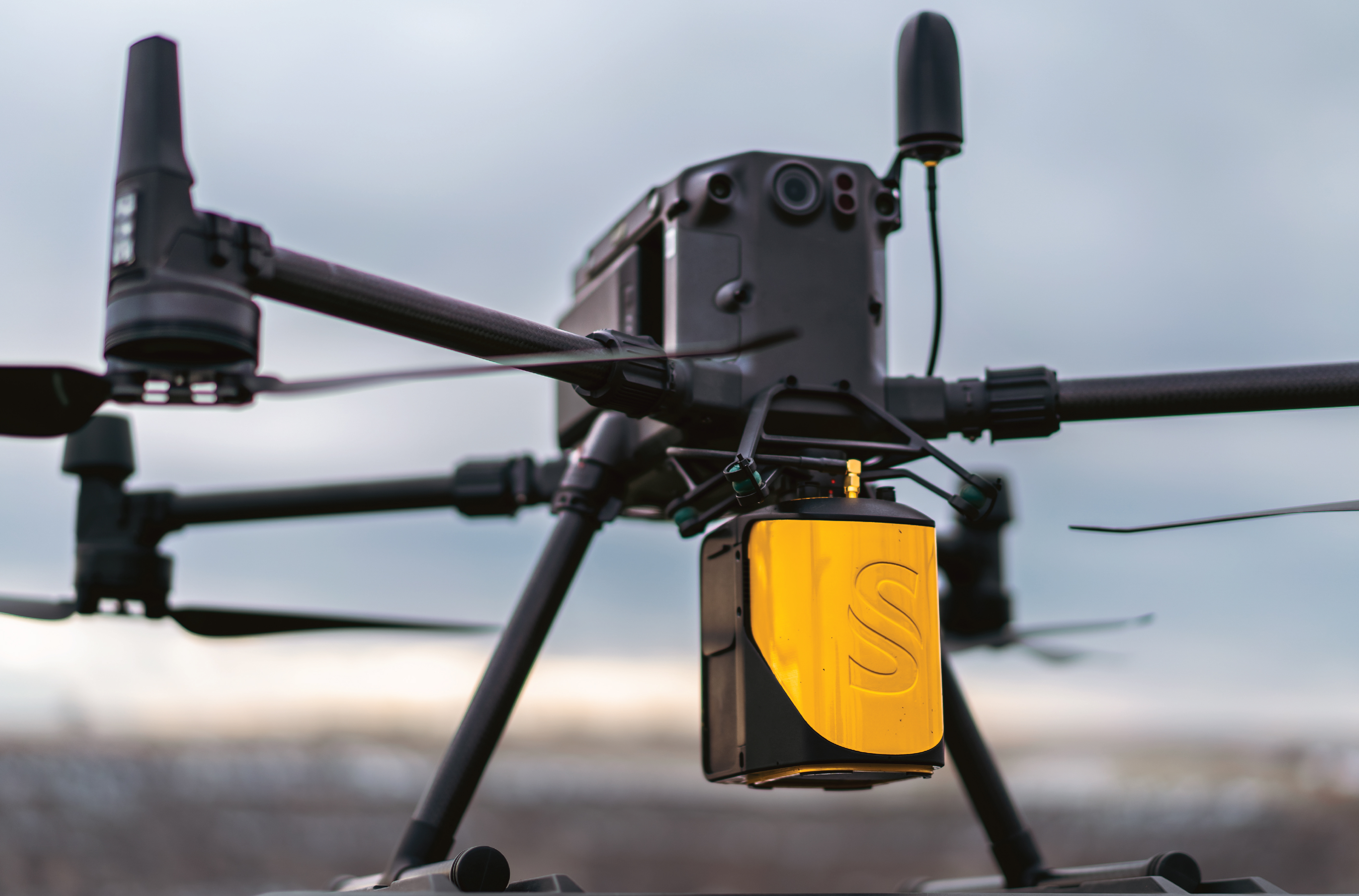
On-demand Webinar | Free
Aerial surveying has been conducted for years. Photogrammetry was utilized first in the surveying world but has its
… Read More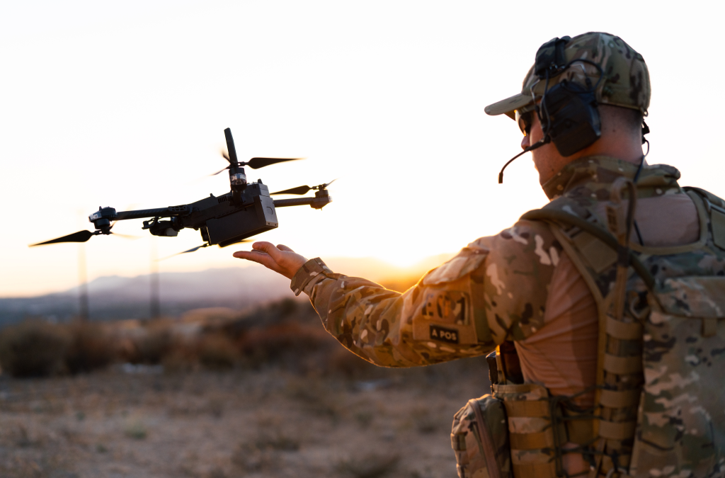
On-demand Webinar | Free
Drones provide mission-critical intelligence and awareness to today’s military and first response teams, especially in
… Read More On-demand Webinar | Free
As one of the leading use cases for drone applications, drone data collection for surveying and mapping applications
… Read More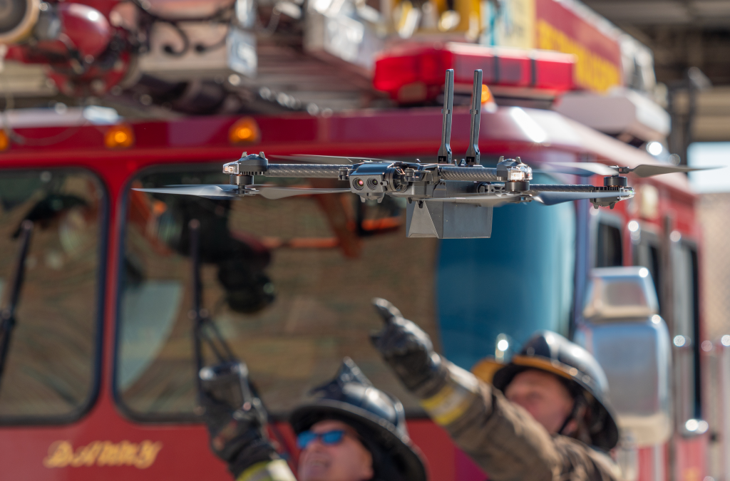
On-demand Webinar | Free
The world’s fire and emergency service agencies are increasingly turning to drones to assist with life saving efforts
… Read More On-demand Webinar | Free
In the 2021 DroneAnalyst Market Report, it was discovered that somewhere around 40% of businesses who were using drones
… Read More
On-demand Webinar | Free
Uncrewed operations in Advanced Air Mobility promise significant rewards for ambitious innovators, but the question
… Read MoreSubscribe to our Newsletter
Subscribe to our weekly newsletter, delivering news and market information about commercial drones.
Subscribe

Featured Authors


Newsletter Signup
Our Events


Our Events
September 1-3, 2026 • Las Vegas
February 23-25, 2027 • Salt Lake City