Subscribe
The information you submit will be stored and used to communicate with you about your interest in Commercial UAV News. To understand more about how we use and store information, please refer to our privacy policy.

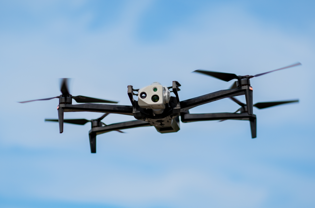
LiDAR vs Photogrammetry with Skydio 3D Scan
On-demand Webinar | Free
Join Ted Strazimiri, CEO of SkyDeploy, and Travis Sachs, COO of 3DS Technologies, along with Skydio for a sneak peek into the results from comparing drone-based photogrammetry to LiDAR. This presentation will reveal testing comparison results in terms of accuracy, application, cost, and operational complexity especially for mapping and surveying. The session is designed to provide attendees with a clear, data-driven understanding of LiDAR and photogrammetry in drone programs as well as debunking common myths.
- In-depth insights into the accuracy comparisons between drone-based photogrammetry and LiDAR.
- Practical knowledge on the best applications for each technology, considering factors like cost and operational complexity.
- A clear distinction between myths and realities in using these technologies for effective mapping and surveying.
Speakers
Ted Strazimiri, CEO, SkyDeploy

Ted is the CEO of SkyDeploy, a drone service provider based in Canada. Ted has gained hands-on experience from difficult, drone-based inspections over the past 6 years. Through this work he has uncovered insights about what end users want and pain points data collectors face in the field. He has become an expert in the procedures required for successful analysis and 3D reconstruction of drone collected data. He is also a college professor and teaches these subjects at the post-graduate level. He is currently involved in various academic research projects on the topic and is passionate about the trajectory of this technology.
Travis Sachs, COO, 3DS

Travis W. Sachs serves as the Chief Operating Officer at 3DS Technologies, a cutting-edge company specializing in 3D Laser Scanning and Reality Capture. With a broad educational background and extensive work experience, Travis is highly skilled in various facets of technology, industrial maintenance, and operational excellence.
Alicia Llorens, Principal Solutions Engineer

Alicia is an expert in Drone Photogrammetry and Mapping with over 11 years of dedicated experience. Throughout her career, she has played a pivotal role in supporting professionals to seamlessly integrate drone data into their operational workflows. As a Principal Solutions Engineer at Skydio, her current focus lies in facilitating the successful adoption and expansion of autonomous drones for critical infrastructure inspection.
Register for this webinar by completing the fields below
Thank you!
Thank you for registering for the on-demand webinar: LiDAR vs Photogrammetry with Skydio 3D Scan, sponsored by Skydio.
A confirmation email will be sent shortly with access to the on-demand materials.