Subscribe
The information you submit will be stored and used to communicate with you about your interest in Commercial UAV News. To understand more about how we use and store information, please refer to our privacy policy.

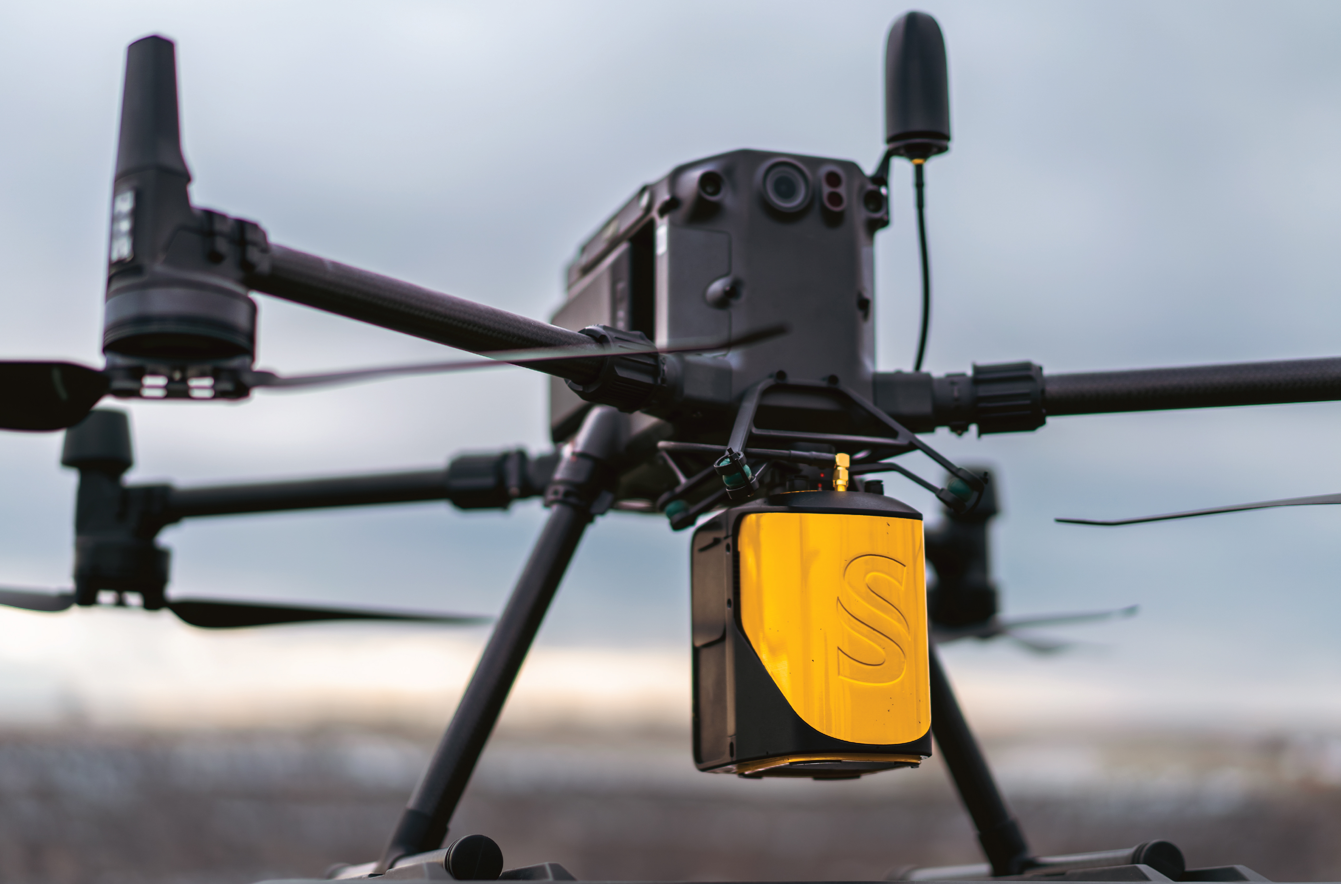
Implementing LiDAR in Aerial Surveying
On-demand Webinar | Free
Aerial surveying has been conducted for years. Photogrammetry was utilized first in the surveying world but has its limitations. When trying to obtain highly accurate terrain data when vegetation is present there needed to be a more reliable solution. To combat these limitations of photogrammetry, LiDAR data acquisition began being utilized for data capture below vegetation. Aerial LiDAR began on manned aircraft and since then has found its way into the unmanned space being utilized on UAVs. With the advancements of scanner technology and the accuracy improvements of the IMU configurations integrated into these LiDAR systems, the data that is being captured today is well within survey grade accuracy requirements. In many cases, aerial LiDAR data is more accurate than the traditional photogrammetric methods and allows the highly valuable penetration through canopy cover. There are a multitude of different LiDAR sensors, ranging for different surveying applications, scanner strengths, and accuracy levels. I will be discussing a variety of different aerial LiDAR sensors and their best application in the surveying world. We will discuss how these LiDAR solutions are becoming more and more widely applied as a tool for surveyors to obtain highly accurate dense point cloud data to support and compliment their traditional survey data. Overall, we want to cover how these systems are being utilized in the surveying industry, how the accuracy of the data is being verified from traditional survey control data, and how other surveyors can start implementing aerial LiDAR data into their existing surveying workflows.
Webinar agenda:
- Discuss Aerial LiDAR – What is it and why would you use it over other tools
- Touch on Sensors/Platforms – Differences and applications – Which sensor for what type of work
- Aerial LiDAR in the Surveying world – concepts – supplemental tool – other uses
- A few case studies – Data sets
- Show accuracy reporting – Survey grade parameters
Speaker
Austin Rains
UAV Operator – Sales & Services Support Specialist, Frontier Precision
 Austin is a Texas A&M University graduate with a Bachelor of Science in Geographic Information Science & Technology with a minor in Geology. Much of his professional experience is in the Surveying Industry, with a focus on LiDAR/Photogrammetry Aerial Data Acquisition, Pipeline Geodatabase Construction, and Geospatial Data Processing. He is also a Licensed FAA sUAS Pilot.

Register for this webinar by completing the fields below
Thank you!
Thank you for registering for the on-demand webinar: Implementing LiDAR in Aerial Surveying, sponsored by Frontier Precision.
A confirmation email will be sent shortly with access to the on-demand materials.