

Today, there are a myriad of industries that take advantage of UAS technology to improve workflows, or in some instances create entirely different ones. That adoption is only increasing with each passing year, and as new regulations to unlock BVLOS operations come into play, the rate of adoption figures to accelerate. Looking back at the early days of this technology in the commercial sector, though, it was surveyors and the geospatial industry more broadly among the earliest adopters. By utilizing drones, these professionals were able to capture data more efficiently than ever before, reaching locations that had otherwise been unsafe or downright impossible to reach. Because of these clear benefits, drones have been present at Geo Week for years.
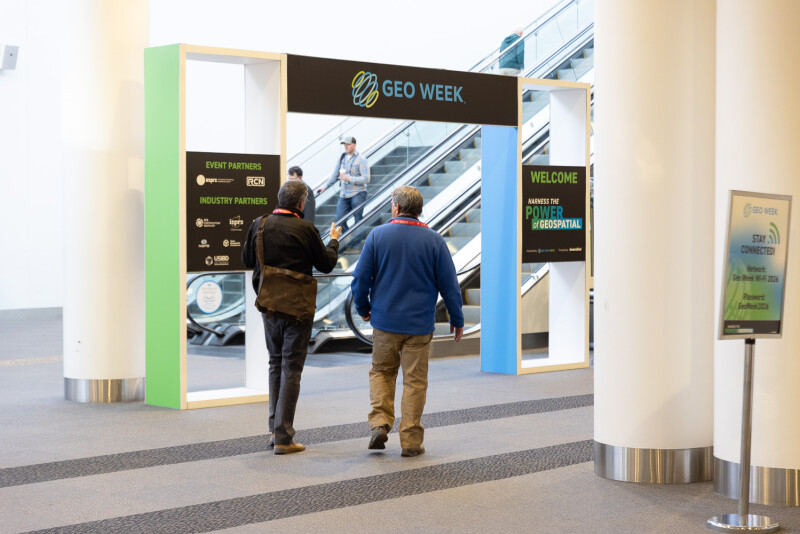
A sister event to Commercial UAV Expo, Geo Week is an annual conference and exhibition for the geospatial and AEC industries, bringing together “geospatial and mapping professionals to explore how data, maps, and advanced technologies can deepen our understanding of the world and inform solutions for complex challenges.” The latest edition took place last week in Denver, Colorado, and staff from Commercial UAV News were on-hand to take in the latest innovations within the industry. Erin Sewall recently covered some of the UAV presence on the exhibit hall floor, and the topic of drones was a significant one throughout the week both on that floor and throughout the conference program.
There were a lot of fascinating case studies that featured UAV-based data collection, and perspectives about what the technology adds, throughout presentations and side conversations throughout the week. What really stood out as a theme across all of these instances, though, was a lack of discussion about the technology in isolation. It’s clear that this is a growing theme for the geospatial sector more broadly, that individual tools are less important than the entire toolkit. And UAS is no different in that conversation; this technology alone won’t unlock game-changing ROI, but it is certainly a big part of it.
There were a few use cases that stood out in this respect, with drones being part of the toolkit for organizations to drive their business forward. Whiteout Solutions co-founder and CTO Matt Clark, for example, talked about the company’s shift to adding helicopter-based surveying into their offerings after starting as a UAV-based organization. He discussed the benefits for drones in their work, which largely centers around bathymetric surveying, but also the benefits of adding another method to their work. Ultimately, it’s about being able to capture data in as many ways as possible – helicopters allow for larger-scale projects to be completed, but also don’t have the same repeatability and consistency as UAVs – rather than just picking one technology and running with it.
In that same session, Francisco Gonzales from Kuker-Ranken talked about a specific project that was completed in Washington State. Mapping an irrigation canal, the project took place in a complex area that required a number of different tools used in concert. Drones were certainly a part of that process, as the team used UAVs to capture ground and vegetation, but that wasn’t suitable for the entire process. In addition to using the data collected by UAVs, the team also used a total station and GNSS receivers for control and a traditional terrestrial scanner to capture data inside the canal.
So what does this mean for the UAV community? Well, it depends on your specific role within the community. If you are a drone service provider offering mapping services to clients, it’s important to recognize that your services are not the end-all be-all for those in the industry. If you market yourself as being able to solve every surveying problem, you will either end up with disappointed customers or a lack of customers who know better than that. Instead, the smart move would be to market yourself as someone who can work alongside other surveyors on the ground. You can earn some bonus points by showing an ability to not only work alongside these other tools in the field, but also by helping with combining the different datasets into a single deliverable. Even if you’re not an expert in this area, the ability to be part of that process will help separate you from the competition.
For surveyors more generally, the biggest takeaway is to stop any mindset of one tool being the trump card over all others. It’s undeniably true that UAVs have been a tremendous value-add for the geospatial and surveying industries, allowing for safer, more efficient, and often higher-resolution data than ever before. That value is only increasing with the addition of BVLOS operations to the industry. That being said, it doesn’t solve for every issue, and the real power for the geospatial sector is utilizing drones where it makes the most sense, and ultimately combining it with other data collection tools to create the highest quality and most comprehensive end deliverable.


Comments