Subscribe
The information you submit will be stored and used to communicate with you about your interest in Commercial UAV News. To understand more about how we use and store information, please refer to our privacy policy.

Webinars

Commercial UAV webinars feature the best and brightest speakers and organizations in the industry. Listen to speakers from companies like Airspace Link, Carlson Software, DroneUp, Kittyhawk, Measure, Skyward, Skydio, Yellowscan and Yuneec and plenty more discuss the challenges and opportunities they’re encountering in the market.
Live Upcoming Webinars
Tuesday, April 7, 2026 @ 7 AM PST | 10 AM EST | 3 PM BST | Free Webinar
Join us for an upcoming webinar for commercial drone operators, manufacturers,
On-Demand Webinars
On-demand Webinar | Free
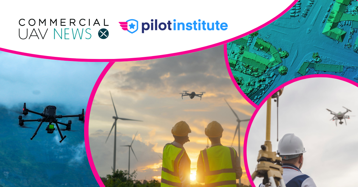
Join us for an essential webinar designed for surveying professionals at every experience level who want to stay ahead in the
On-demand Webinar | Free
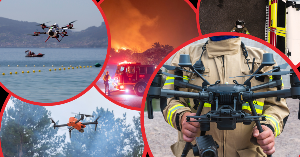
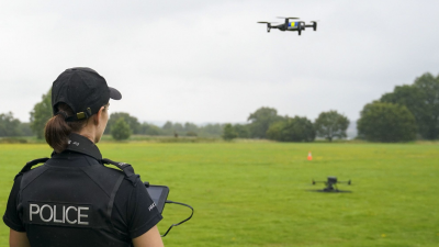
Public safety agencies around the world are increasingly relying on UAS to support security, situational awareness, and

On-demand Webinar | Free
In an industry defined by technological know-how and near-constant innovation, it’s the business fundamentals that often

On-demand Webinar | Free
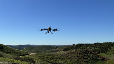
Today, drones are delivering measurable results on farms worldwide. From crop scouting and irrigation management to disease

On-demand Webinar | Free
Join Blueflite, Firestorm, Unusual Machines, and HP Additive Manufacturing Solutions as they share how U.S.-based UAV
On-demand Webinar | Free
Unlock the full potential of airborne LiDAR with the YellowScan Voyager. This webinar explores Voyager’s industry leading
On-demand Webinar | Free
The FAA’s recently released Notice of Proposed Rulemaking (NPRM) on Beyond Visual Line of Sight (BVLOS) operations
On-demand Webinar | Free
Every year, Commercial UAV Expo brings together industry leaders, practitioners, innovations, and thought leaders from across
On-demand Webinar | Free
One of the fastest growing and most exciting segments of the UAS industry isn’t just about imagery – it’s about
… Read More
On-demand Webinar | Free
In many ways, drone service providers are the backbone of the commercial UAV industry. Whether they are offering their drone
On-demand Webinar | Free
If you've ever wondered how you could get started with mapping, join Jared Janacek and Pilot Institute for this comprehensive
On-demand Webinar | Free
Join us for an exclusive pre-event webinar offering a behind-the-scenes look at the upcoming two-day DRONERESPONDERS Public

On-demand Webinar | Free
The drone industry is undergoing rapid transformation with advancements in technology and evolving regulations. Join us in
… Read More
On-demand Webinar | Free
For today’s surveying professionals, drones are an essential piece of equipment. On countless surveying projects around
On-demand Webinar | Free
According to recent reports, tens of thousands of drone-related jobs will be created over the next few years as companies ramp

On-demand Webinar | Free
Drones are creating real, measurable benefits in industries like infrastructure, agriculture, and energy across Europe. Whether

On-demand Webinar | Free
When released, Part 108 is set to revolutionize commercial drone operations by standardizing beyond visual line-of-sight (BVLOS)
On-demand Webinar | Free
Recent events, such as drone sightings in New Jersey and canceled light shows in Florida, have heightened public anxiety
On-demand Webinar | Free
The future of the commercial drone industry is being shaped by a multitude of factors, impacting operators and organizations
… Read More
On-demand Webinar | Free
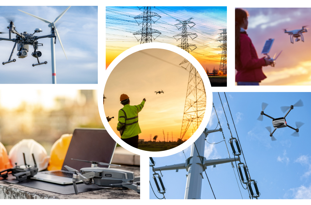
As critical infrastructure ages, the need for efficient, safe, and cost-effective inspection methods has never been greater.
… Read MoreSubscribe to our Newsletter
Subscribe to our weekly newsletter, delivering news and market information about commercial drones.
Subscribe
Featured Authors


