Subscribe
The information you submit will be stored and used to communicate with you about your interest in Commercial UAV News. To understand more about how we use and store information, please refer to our privacy policy.

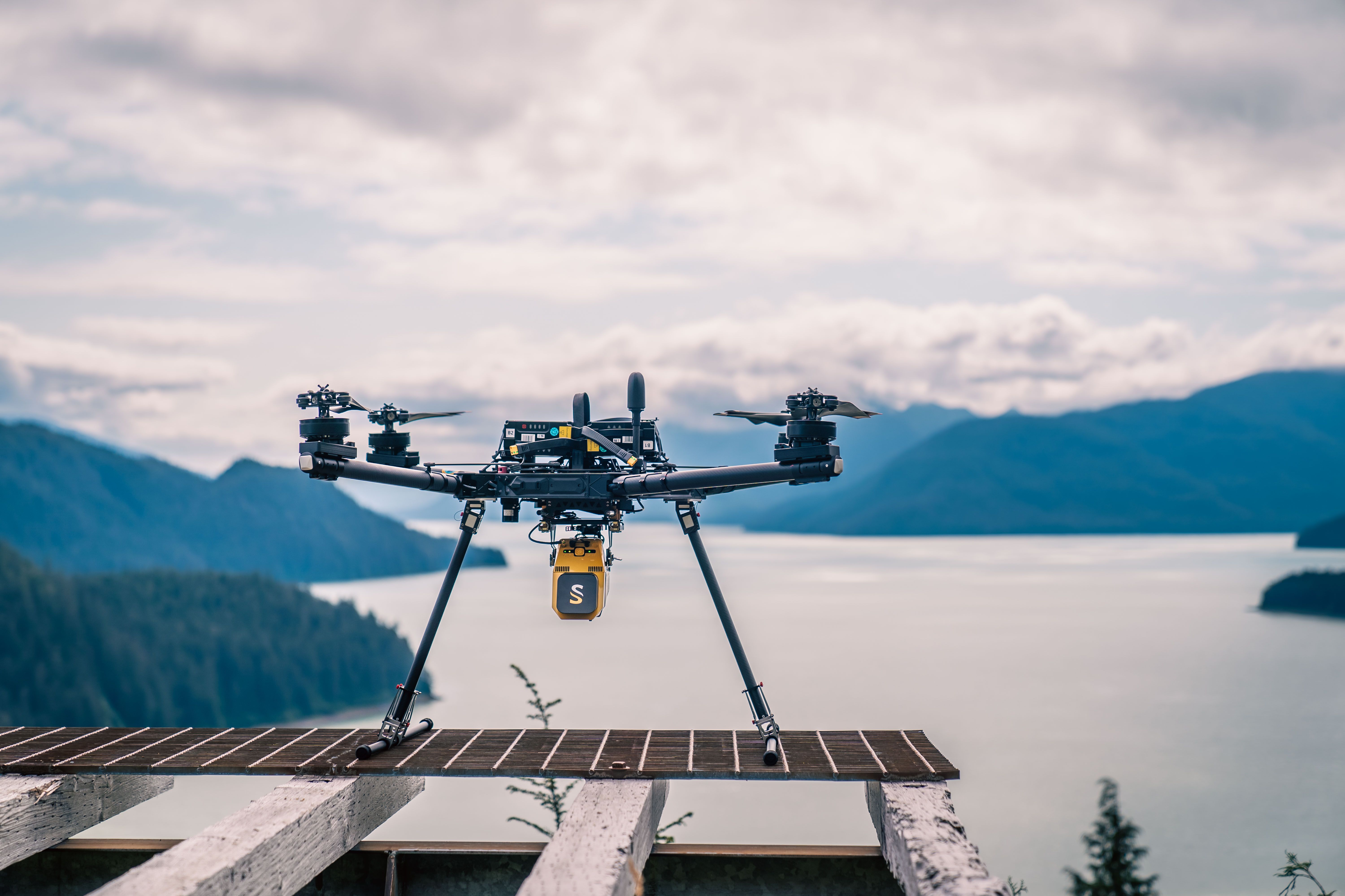
YellowScan Voyager: 400ft and Beyond
On-demand Webinar | Free
Unlock the full potential of airborne LiDAR with the YellowScan Voyager. This webinar explores Voyager’s industry leading capabilities and demonstrates how its advanced LiDAR technology performs at 400 ft and higher altitudes, delivering precision data collection over large areas without compromising accuracy.
We’ll also dive into Voyager’s unique ability to be mounted on a helicopter, expanding your operational flexibility and enabling your team to tackle larger, more challenging projects with confidence. Whether you’re focused on corridor mapping, wide-area surveys, or time-critical missions, this session will give you a clear understanding of how Voyager can fit into your workflow.
Join us to see how YellowScan Voyager empowers crews to maximize efficiency, reduce downtime, and capture high-quality data from drone-based projects to manned aircraft operations.
Speakers
Keegan Schaefer, Sales and Services Specialist, Frontier Precision Unmanned

Keegan Schaefer is a Sales & Services Specialist with Frontier Precision Unmanned, where he supports public and private sector organizations in building and optimizing their drone programs. A proud alumnus of The University of North Dakota, Keegan holds both an FAA Part 107 Remote Pilot Certificate and a Commercial Pilot's License, giving him a unique perspective that bridges manned and unmanned aviation.
With a passion for all things aviation, Keegan specializes in helping teams integrate cutting-edge UAS technology into their workflows, from mission planning to data delivery. His hands-on experience and technical expertise make him a trusted resource for organizations seeking to adopt and expand unmanned systems operations.
Nathan Stephenson, YellowScan Business Development Manager, YellowScan Inc

Nathan Stephenson is Business Development Manager – North America for YellowScan Inc, where he manages the distribution channel, ensures a steady and repeatable production schedule, and attends conferences to keep a pulse on the market. Graduating from University of Hawaii – Hilo, with a Master’s in Photogrammetry and Remote Sensing in 2013, Nathan has a decade of experience in both static and unmanned laser scanning.
Register for this webinar by completing the fields below
Thank you!
Thank you for registering for the on-demand webinar: YellowScan Voyager: 400ft and Beyond, sponsored by Frontier Precision Unmanned.
A confirmation email will be sent shortly with access to the on-demand materials.
You can also view the recording here.