Subscribe
The information you submit will be stored and used to communicate with you about your interest in Commercial UAV News. To understand more about how we use and store information, please refer to our privacy policy.

Infrastructure & Transport
Sign up for our newsletter for the latest insights for the commercial drone market!
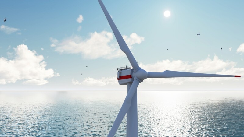
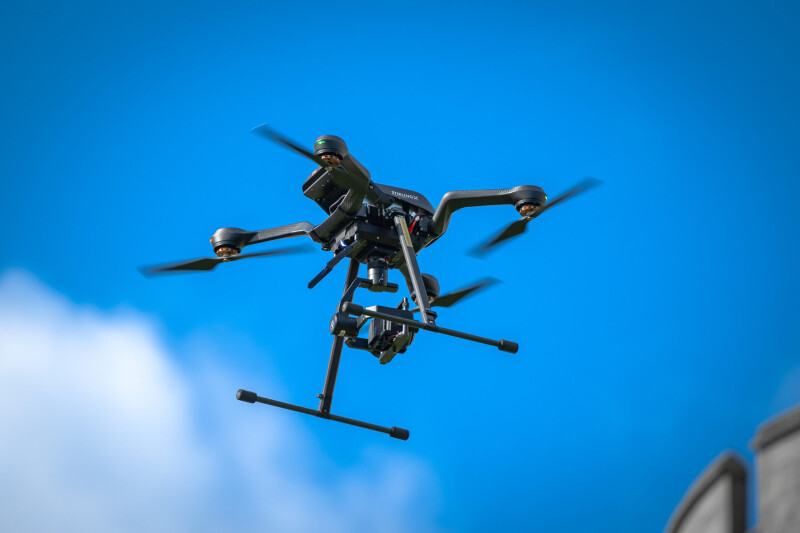
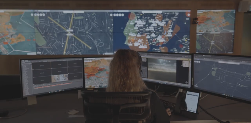
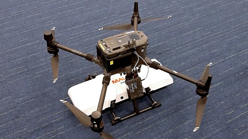
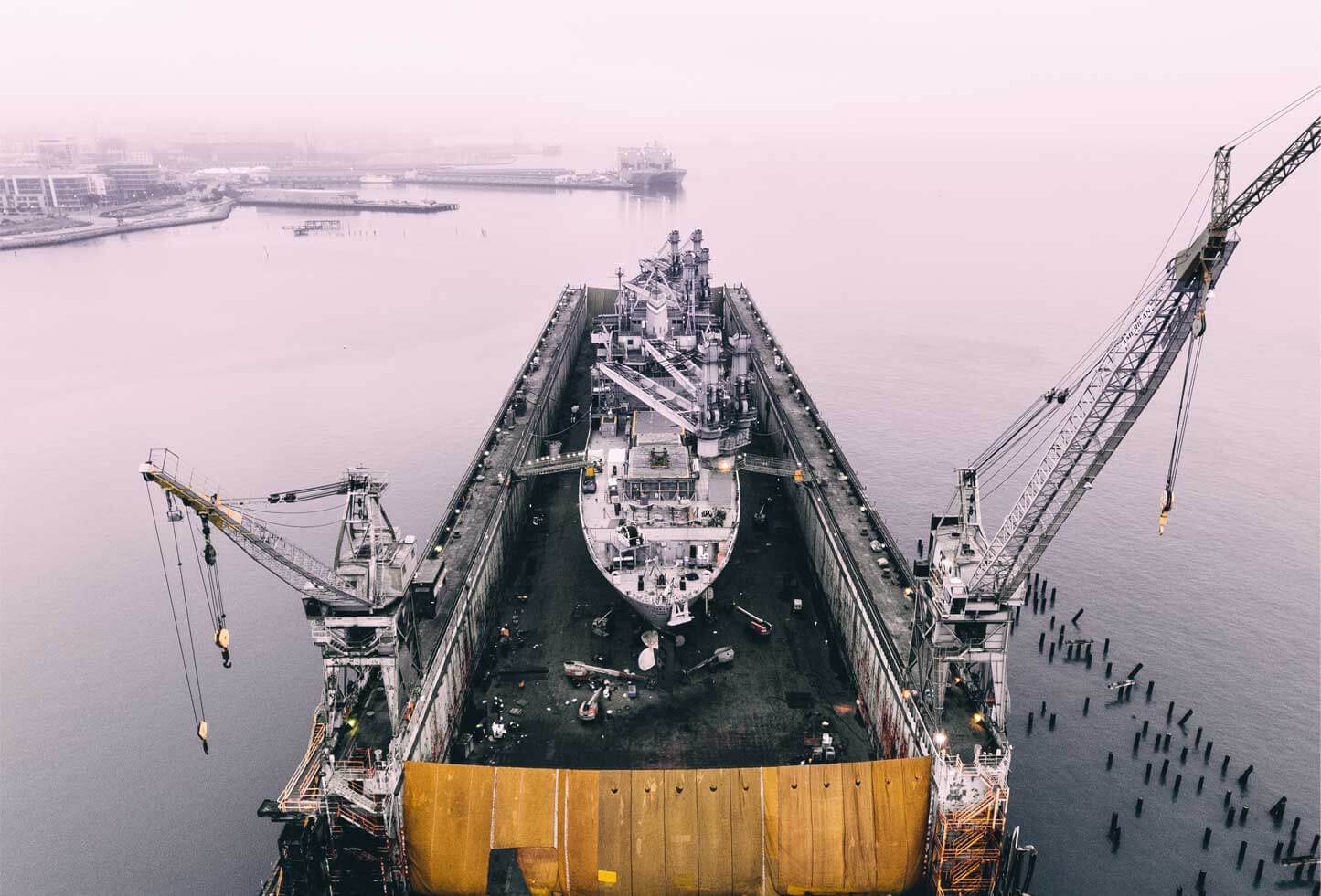
Drones have become integral to infrastructure inspection and maintenance due to their ability to enhance efficiency, safety, and cost-effectiveness.
By swiftly surveying large areas and conducting aerial inspections, drones streamline processes and reduce the time and personnel hours needed for the time consuming and large-scale tasks of assessing roadways, bridges, and pipelines. Moreover, their use minimizes the risk to human life, particularly in hazardous or hard-to-reach areas. Equipped with high-resolution cameras and sensors, drones provide precise data and imagery, enabling accurate assessments of infrastructure conditions. The stories below highlight some of the applications and tools of UAVs in infrastructure.

Latest News