

UAS are proving to be a powerful tool for ensuring the success and safety of all sorts of infrastructure. Drones can be operated at a fraction of the cost of traditional inspection crews, and, when equipped with the latest technologies, they can deliver the highest quality in imaging and positioning data. In 2021, Commercial UAV News held the "Hard to Reach Places" webinar to provide an overview of the opportunities, barriers, and successful use cases with a key focus on the latest technologies and project results. To discuss this, CUAV invited Jeremy Sofonia from Emesent, Rese Cleaver from DroneUp, Marc Flamm from Skydio, and Conor Ferguson from WISPr Systems.
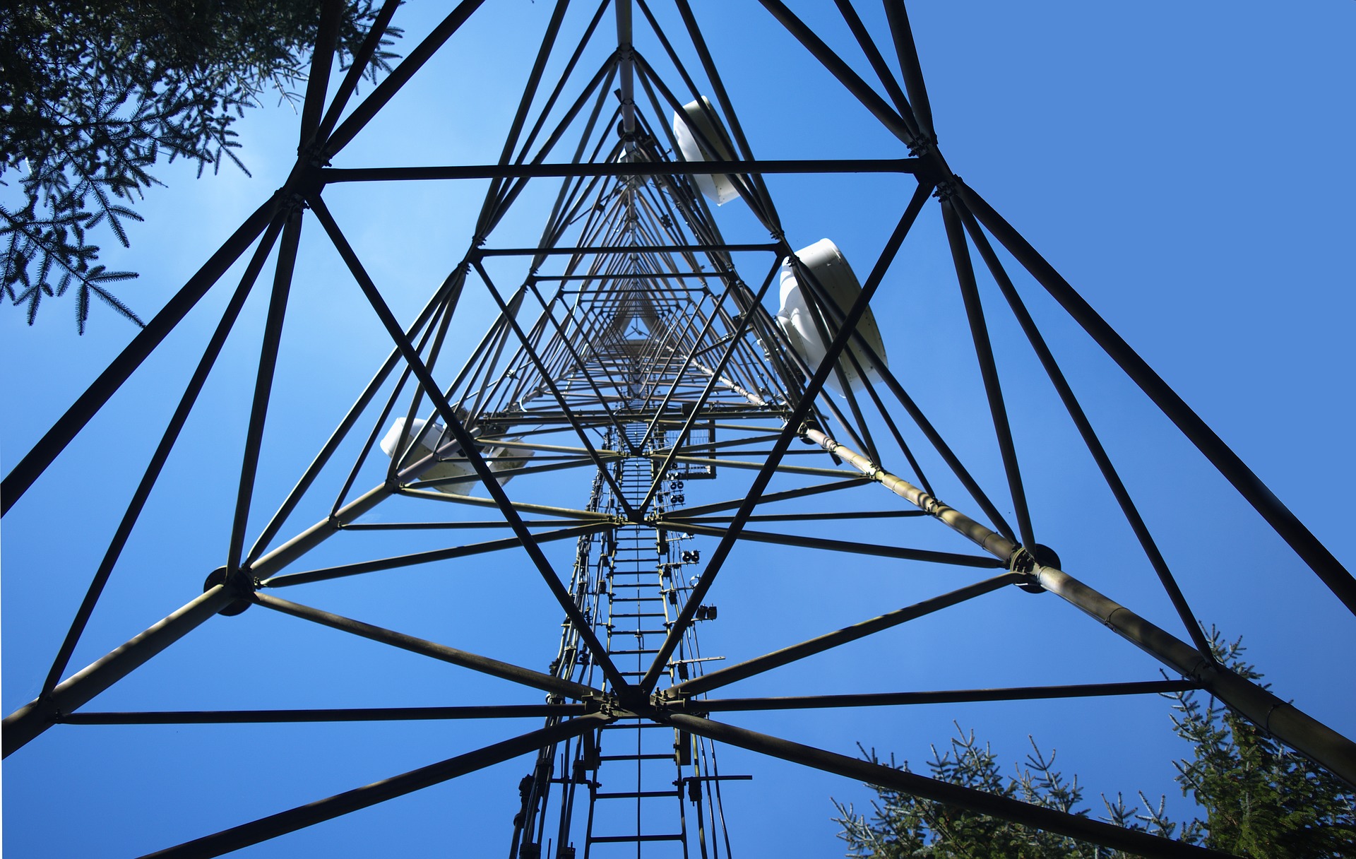
Emesent's Hovermap is a lightweight (around 400 pounds) mobile lidar mapping payload that uses Velodyne's VLP 16 Puck LIDAR sensor. It utilizes SLAM algorithms to operate in GPS denied environments and some advanced autonomy algorithms for collision avoidance and other autonomy features. During the webinar, Sofonia focused on safety, efficiency, cost-effectiveness, and new insights for drones in asset management. One of the things that Hovermap excels at is in versatility and deployment options since it mounts on a drone, but it also mounts on Boston Dynamics' SPOT, a backpack, a protective cage, or even on a vehicle. With a single purchase, users can access many different applications for infrastructure inspections, such as mining, rail and road, plenty of indoor locations, search and rescue, and urban environments.
To demonstrate how Hovermap works within hard-to-reach places, which in many cases are GPS denied environments when it comes to drone operations, Sofonia showcased some of Emesent's operations. These included scans of a one-kilometer underground mine, a pump house at a hydroelectric station, an indoor stockpile at night, and the above and below ground data collected in a single scan of a substation in Stuttgart, Germany.
"One of the ways that we do this is through our fully autonomous BVLOS advanced systems," Sofonia said. "We collect a real-time point cloud that's fed back to the operator, as long as we can maintain the communication over the drone, allowing us to navigate these GPS denied environments easily, especially with our tap-to-fly kind of approach on the tablet with live map streaming. We also have safety features, like a smart return to home feature when the battery gets low, or if there's too much dust, and collision avoidance to detect and avoid even the smallest obstacles."
According to Sofonia, one of the highlights of Emesent's technology is its processing times, where a 20-minute scan corresponds to a 20-minute point cloud post-processing. Also, its capabilities of merging the data into a single unified cloud are "ahead of the class as far as their ease of use and capabilities."
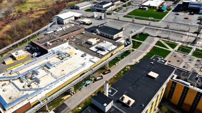
Cleaver talked about the drone market landscape and how drones will bring considerable value to the infrastructure industry. She believes drones will make the most difference in three critical points: cost, location, and workforce. In terms of cost, Cleaver stated drones are way cheaper than keeping up a whole team of people out somewhere. They also capture high-resolution data within a shorter period than traditional means, easily reach high and tight places that are unsafe, and improve early detection of issues, leading to reduced maintenance costs. Then we have location, where drones eliminate the site-to-site travel time and provide quick and easy access to remote structures, improving the monitoring regularity and optimizing asset performance. For example, DroneUp is seeing an average of eight inspections a day using drones instead of three. Finally, with site-to-site travel eliminated, infrastructure teams can perform meaningful work.
Whether it's multi-property facilities, dynamic infrastructure, construction sites, complex building facades, or local rooftops, DroneUp provides drones services to maximize ROI, safety, and efficiency simultaneously. "With flight services, you don't have to have a pilot on staff or figure out if you need the Ford or the Bentley of a drone," Cleaver added. "Drone services take care of all of that for you. They know the compliance, airspace, and what needs to be done. They also know the proper procedure to do what you're trying to accomplish, so if you need a roof inspection, for example, they already know the specific procedures and the right technologies to do that. Then, the collected data is delivered to you in your browser from anywhere." Drone services started growing fast once COVID and social distancing became part of the equation, as travel restrictions kicked in and inspections still had to be conducted. So, remote inspections are now a growing subject in the drone industry, "and people don't want to go back."
At CUAV, we've talked about Skydio's drones multiple times and how they make a difference in infrastructure and other industries. Flamm started his presentation with the company's background and introduced Skydio's drones.
"Our drones are designed to deploy quickly," Flamm claimed. "There's no heavy cases or difficult to attach cameras, and they're very quick to go from the case to the air and back in the case. The robust obstacle avoidance makes the drones easier to fly and safer from crashes. Since they don't require GPS like traditional drones, Skydio's drones can fly where other drones can't and closer to subjects for improved data capture. Lastly, Skydio automates entire workflows, making it easier to scale UAS program. I've talked with thousands of UAS professionals, and I hear common feedback that the training process is very costly and time-consuming, making it hard to scale a drone program. The risk of crashing, and the high cost of training are major reasons some companies are hesitant to adapt unmanned solutions. But Skydio has helped solve for these pain points."
Then there's 3D Scan, a fully adaptive scanning solution for autonomous inspection data capture. Flamm claims it is different from traditional drone mapping software like Pix4D capture, because it's a fully AI-driven workflow. 3D Scan has adaptive mapping abilities, enabling drones to create custom flight paths. Together with Skydio's autonomy features, drones can fly low and close to subjects without the risk of crashing, collecting high-resolution imagery from facades and even the undersides of structures as opposed to just blindly flying over a structure at 200 feet.
"The fundamental goal of 3D Scan is to enable beginner drone pilots to capture complex scenes with a simple and intuitive workflow," Flamm explained. "This is important because a lot of programs have trouble expanding since it's hard to scale a program that requires a highly skilled operator. That's why they can either outsource it to another service provider or not adopt your technology at all. But with the new level of simplicity and automation, it makes it possible to roll this out and have folks adopt this as just another tool without days or weeks of mandatory training."
Finally, Ferguson talked about how WISPr drones help professionals inspect critical infrastructure and reach hard-to-get places, enable Wireless ISPs to reach rural customers they previously couldn't, and improve 5G deployments in urban environments. WISPr's commercial platform is built to carry two to four-pound payloads and a universal attachment system compatible with any payload - anything from cameras, such as FLIR or Sony's high-resolution cameras, to antennas and other things of the sort.
WISPr first aimed to solve signal transmission issues from antennas to rural areas. To set up an antenna in a rural area, surveying and locating the right spot to ensure the signal is strong enough is critical. However, that requires moving around with tall bucket trucks or going up and down a ladder. By developing a drone capable of carrying a CPE (an outdoor access point or router to provide a long-distance wireless network solution), WISPr's drone flies autonomously to find the strongest signal point and lets customers know where to set up the antenna. This solution takes around 8 minutes versus 3 hours with traditional methods. From there, WISPr saw an opportunity and developed the universal attachment system to allow the same customers to inspect these antennas moving forward.
"The critical keys that we found within infrastructure inspection are that you need a good pre-flight procedure and risk mitigation process," said Ferguson. "For any drone program to scale, that needs to be in place, and we have a cloud software to help you manage that. The second thing is, when you're flying around towers and metal structures and power lines, you have strong magnetic interference. We built aircraft grade shielding into the drone to allow it to fly closer to those towers and critical infrastructure without having issues with the magnetic field that it puts off. Lastly, you do need to regularly perform maintenance on your gear to extend the life of your drone rather than needing to buy a new one every year. We have basic tune-ups and service plans for customers where after 200 hours we replace the drone's motors and send it back to them."
Another interesting WISPr use case is drones to improve 5G deployments in urban environments. Basically, instead of going to each window of each apartment inside a building and measuring 5G signals, WISPr flies a drone around the building to capture 5G signals and integrates collected data into a map. This helps companies to understand the weak parts of their networks easily and reduces what would take several hours to less than an hour.
Linda McLaughlin: Is autonomy the ultimate goal here? How far along do you think we are toward getting humans out of the loop?
Marc Flamm: Autonomy certainly is the end goal of this all. Up to this point, drones have just been at a one to one connection operator to the drone. Autonomy will unlock the ability from one operator to operate many drones and scale this out. Certainly, Skydio is very far along in developing autonomous solutions. We're even starting to see regulatory relief with customers like NCDOT getting BVLOS waivers to inspect bridges. So, I think autonomy is 1000% the key to unlocking the full potential of the commercial drone industry, and it seems like we're right on the cusp of doing it.
Jeremy Sofonia: For me, autonomy is about taking the workload and reducing that for all the rest of us. It means not just the drone operation, but how easy is it to use? With our Hovermap system, it's a single button, press that, and it's running. Previously, it would take 30 to 40 minutes to set up a lidar system. But it's also autonomy in the data processing, and we want to alleviate that burden. Autonomy frees us up to use our time in more effective ways. We can be more creative, think deeper, more efficient, and move through more jobs quickly.
How do you integrate some of the data that you get from a drone with other devices and different tools (like Boston Dynamics' SPOT)?
Jeremy Sofonia: Emesent is working on one thing called multi-agent planning, or multi-agent cooperation, which are drones working with other robots. We currently have capabilities where ground-based robots communicate with Hovermap in the air, and our integration with Boston Dynamics is just the next step. SPOT has some amazing autonomy already built into the system, and it's incredibly easy to use and so well engineered that it's gorgeous. But with Hovermap on board, we plan to work with Boston Dynamics and integrate some more advanced autonomy capabilities to expand its capabilities further and allow us to bring the Hovermap payload and other attachments to inspect these difficult-to-reach places.
We hear about the work process all the time because it's so difficult when you're trying to make your work process work along with new technologies that you're trying to bring in. Could you share some best practices about making that work?
Rese Cleaver: It's essential to understand what the standard operating procedures and the players are for the clients' industry. The biggest thing is the postflight area because it's critical to get that buy-in and get it right. So, it is critical to communicate and make the access to the platform seamless, whether it's the stakeholder just looking at things or the actual SME going in and inspecting, investigating, and planning.
Jeremy Sofonia: I would add that, on a complex job site, establish the way upfront on how you're going to label your data. Be consistent and disciplined about it because when you get down with that project, and you've got hundreds or thousands of photos, or multiple lidar scans, trying to figure out which one is which adds a lot of unnecessary time.


Comments