

Commercial UAV News has often emphasized the importance of the accuracy of data being collected via drone and how to make that data actionable through streamlined workflows, but data about who is flying that drone and where they are located can be just as important and equally as challenging, especially for public safety and emergency response when having people with the right experience in the right place and knowing where to find them can make the difference between life and death.
“We keep hearing that ‘data is the new oil’ and that is certainly true, especially during emergencies and disasters,” Christopher Todd, Executive Director of AIRT, told Commercial UAV News. “The more information that first responders and emergency managers have, the better the decision-making process becomes. Presently the location of public safety UAS programs may be known on a regional basis, but beyond that there is not a comprehensive directory of these programs at the state, national and global levels.”
Because larger entities are left to figure out what programs or pilots are actually out there and what their expertise or knowledge base is, it is challenging to coordinate efforts and figure out the best way to utilize resources in critical situations. This leads to inefficiencies in these efforts, which is why AIRT and DRONERESPONDERS have developed the Public Safety UAS Program Directory (DRONERESPONDERS) and the Emergency Drone Pilot Directory (AIRT) through their partnership with Esri, the global leader in location intelligence.
To get more information on these new initiatives, we spoke with Todd to understand how these directories will change the way agencies talk about UAS emergency response and public safety efforts internally and externally.
“The DRONERESPONDERS initiative was created by first responders for first responders,” explained Todd when asked about how these initiatives began. “Brandon Karr is a police officer and UAS program manager in Pearland, Texas who realized the need for a program like this. He built it, and launched it, before moving it over to DRONERSPONDERS. We know that other public safety UAS program managers are struggling with the same set of obstacles that Brandon faced. They want to know what other agencies have drone programs, where they can find more information, and who they can call upon when they need more support. That is the power this program will deliver.”
Todd then explained that the development for AIRT’s Emergency Drone Pilot Directory was slightly different. Between 2017 and 2018, they had launched a similar initiative, but they didn’t have the proper workflow in place to properly evaluate all the registrations coming in. This new partnership with Esri is helping them better manage that data.
“We know that there are large quantities of remote pilots who want to help when a disaster strikes,” continued Todd. “We needed to get the right systems in place to be able to handle the influx of remote pilot registrations, decipher their skills and capabilities, and identify training and deployment opportunities. Although the system still needs to mature—it has not been truly ‘battle tested’ yet—we are feeling good about where we are at this point.”
By leveraging Esri’s long-standing expertise for making georeferenced data digestible, impactful, and accessible, AIRT and DRONERESPONDERS will help Public Safety and Emergency Response Agencies build a clearer picture of who is out there, enabling these programs to grow and become better at what they do—save lives.
“The great thing about the suite of tools that Esri brings to the table is we can create an array of options enabling public safety users to access the resource. We will use georeferenced mapping products, including StoryMap, to show where resources are located and information dashboards — similar to the COVID-19 map we all have become accustomed to seeing over the past year — to compartmentalize information and make it more digestible at scale,” explained Todd. “By cataloguing and georeferencing these programs, we will be able to increase communications between programs, ultimately leading to knowledge sharing, mutual response coordination, and more lives saved through preparedness and response efforts. We also plan to build a robust database that allows us to track and assess the growth and expansion of public safety UAS programs around the globe. Ultimately, if a jurisdiction is looking for assistance, they can either access the map to locate another agency for support, or they can contact DRONRESPONERS (for program) and AIRT (for remote pilots), and we will help them find the resources they need.”
Quantifying and visualizing drones in public safety and emergency response like never before, the directory is set to become an essential internal resource for public safety and emergency services. But there are some powerful benefits for how these initiatives are viewed externally as well. With this data, we can now quantify the value of drones for government agencies, businesses, and regulatory bodies to make informed decisions about funding and more.
“One of the benefits of the DRONERESPONDERS initiative led by Karr is that it will create an environment where public safety UAS programs become much more visible,” explained Todd. “This will improve communication, coordination, and cooperation between agencies and jurisdictions. As that happens, the transfer of information between programs will evolve from its present form where it is largely anecdotal in nature, to sharing key learnings and data-driven insights where numbers are telling the story instead of words. This will ultimately have a dramatic effect on how public safety UAS programs are viewed both within their host organization as well as by external audiences including the general public. We are already hearing about how UAS are improving certain metrics like the on-scene response time for 9-1-1 calls, or the ability to get downrange at a hazardous materials response and quickly assess which chemicals or material might be posing a risk. Drones are also allowing us to conduct rapid damage assessments for tornados and other localized weather events more quickly than ever before. As the key metrics and outcomes from these success stories continue to bubble up, they will start to have a dramatic impact on how public safety agencies receive funding for UAS programs. The more agencies can show a positive return-on-investment from UAS program costs, the easier it will become to allocate additional budget toward these programs.”
In a time where public safety agencies are pressured to extend their budgets ever further, being able to quantify that investment and efficiently utilize all available expertise and resources will be a powerful tool for expanding UAS in these sectors. As this data is collected, it will undoubtedly lead to other discoveries and important initiatives for the future of UAS.
As more and more teams and remote emergency pilots sign in and register to the system, the more valuable this resource will become for everyone—it is truly a global effort that DRONERESPONDERS and AIRT encourage everyone to become a part of.
“The bottom line is that if you are a public safety UAS program manager, then DRONERESPONDERS is a program that you need to be working with if you are not already,” emphasized Todd. “They will be your best source to link up national and globally with other like-minded agencies with similar mission sets. Alternatively, if you are remote pilot who is seeking to help during emergencies and major disasters, then AIRT is an organization you should be registered with. We will be working with our key stakeholders and partners to bolster and expand the emergency response remote pilot program to ensure it creates positive impacts on local, regional, national and even international response efforts.”
To register your program or register as a pilot follow the instructions below.
Registering
For either directory, it is important that you insert your address into the map window on the registration form to ensure that Esri can georeference your location.
 UAS Program Registration
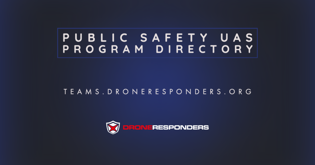
Public safety teams and UAS program managers should visit teams.droneresponders.org to register your program. You can determine whether you want your contact information to be public or private in the registry.
 UAS Emergency Remote Pilot Registration
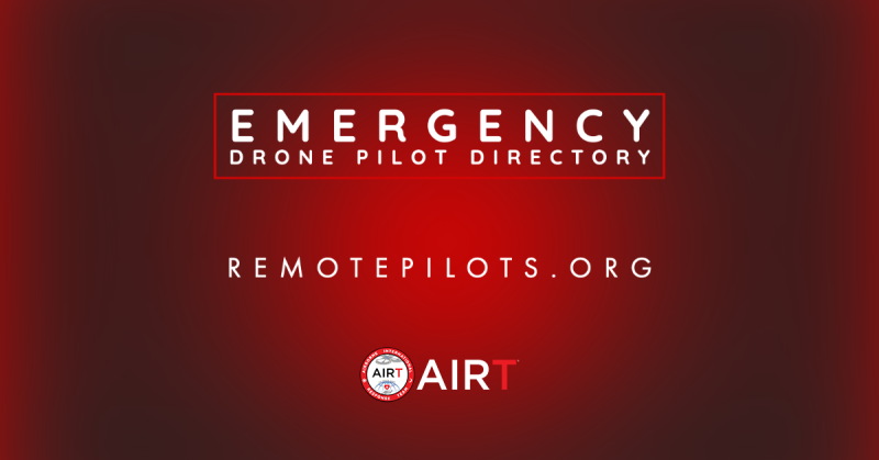
Remote pilots who would like to register for the AIRT program should visit remotepilots.org and complete the brief registration form. The location of each registered remote pilot will be visible on the map, but AIRT will not be releasing personal information without consent.


Comments