


Qassim Abdullah
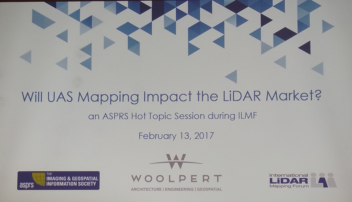
 It’s easy and sometimes even fun to try and figure out which platform is going to be the best, and some even like to engage in discussions about an actual “best”. That’s a false narrative though, because “best” depends on the situation and need. What’s your achievable accuracy? What payload capacity do you need? Are you dealing with a confined space? These are just a few of the questions that need to be asked in order to determine what approach is going to be most effective.That concept led into the biggest takeaway from the session, which was a reminder that it’s about the products, not the platform or the technology. How an operator produces their orthos or volumes isn’t always a concern for stakeholders, and sometimes it’s not even a consideration for them at all. They’re not looking for data or capabilities; they’re looking for deliverables. People often get focused on what type of drone they’re flying, but clients and stakeholders are buying contours, volumes, etc, not drones. It’s about the products.Ultimately, drones are tools that allow surveying professionals to capture info in order to create and deliver products. Whether it’s intentional or not, the hype and excitement around drones can make operators and stakeholders think a UAV is all anyone needs, no matter the industry or project. Time and time again though, the serious professionals explain how and why drones are tools, just like any other. They’re a fit for some projects and uses, and not fits for others. Professionals should use them when they make sense, and use something else when it makes sense to use something else. It seems like such a simple concept, but as we’ve seen with a focus on issues like hardware, software, regulation, data and more, it’s something that’s easy to forget about.Additionally, anyone used to using a different tool needs to understand UAVs don’t simply mean being able to swap out one technique for another. There will be differences with these devices that need to be considered and accepted. One of the presenters mentioned how clients often have expectations that come from aerial LiDAR even after they’ve identified that they want to use drones. Adjusting those expectations is part of a process to get everyone to understand what it means to use these tools on all sides of a project.Nancy Graham from AirGon has been intimately involved in the process and conversation around making sense of both technologies. She mentioned a phrase someone told her many years ago that she has now applied to her efforts to figure out how to utilize drones in the best way possible.“It’s an adventure.”Below are a few pictures from the session that should give you a better idea around the tools, technology, insights and experts that were showcased throughout the session.


Comments