
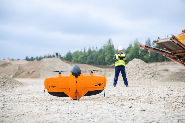
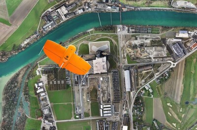
Wingtra has announced the launch of its new WingtraRAY. Targeted at surveying operations, the vehicle, Wingtra said, offers “a complete plan-capture-process-share solution” and “a wider range of hot-swap sensors.”  Moreover, the company stated, WingtraRAY “opens access to surveyors of all experience levels to tackle urban infrastructure, massive mines and time-sensitive sites without waiver delays or equipment changes.”
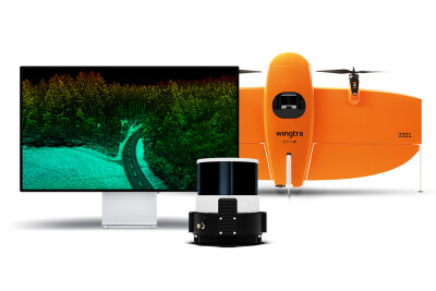
According to Julian Surber, Senior Product Manager at Wingtra, “WingtraRAY holds three promises that sets it apart from other surveying methods. First, it’s more cost effective because you have one workflow that lets you cover a lot of acres at a low cost and eliminates site revisits. Next, it brings a new level of peace of mind to aerial surveying with the parachute, the obstacle avoidance and other safety features. Third, it empowers customers to take on almost any kind of project with one platform, as it supports six high-quality, survey-optimized payloads.”
In a statement, Wingtra explained that, flying with the new INSPECT payload, “WingtraRAY can capture 100 acres at 1/10th of an inch (2.5 mm) resolution from 200 ft (60 m) AGL in an hour.” Moreover, the UAV is AUVSI Green and DIU Blue Cleared listed for “fast-track use on sensitive US government projects.”
According to Wingtra, the new drone “will be publicly available in selected countries starting July 10, 2025, with a global rollout to follow in October 2025.”
Source: Wingtra


Comments