Subscribe
The information you submit will be stored and used to communicate with you about your interest in Commercial UAV News. To understand more about how we use and store information, please refer to our privacy policy.

November 7, 2016
Commercial UAV Expo 2016 – The Geo-MMS, a Fully Integrated LiDAR Mobile Mapping System
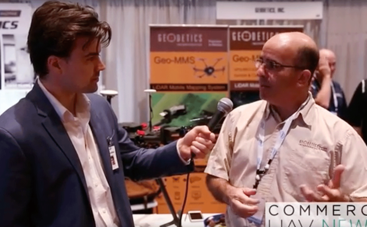
Geodetics is an organization that is dedicated to providing advanced sensing and navigation technologies, and the product they were showing off at the Commercial UAV Expo demonstrated that commitment. The Geo-MMS is a fully integrated LiDAR mapping payload for integration with drones. Raw data from the integrated sensors is recorded and can be post-processed using Geodetics’ LiDAR tool software package to directly geo-reference the LiDAR point clouds with LAS format output. It can be used in various commercial capacities, including precision agriculture, oil & gas, construction, mining and more.We spoke with Dr. Jeff Fayman, CTO at Geodetics, during the Expo to discuss the new market that Geodetics is looking to service with the Geo-MMS, which stands for mobile mapping system. He talked through the convergence of the low cost technology along with the impact of Part 107 in terms of how all these developments are opening up brand new opportunities.

Want more stories like this? Subscribe today!


Jeremiah Karpowicz is the former Editorial Director of Commercial UAV News. He has spent over a decade cultivating communities of all different types, both in-person and online. He has created articles, videos, newsletters, ebooks and plenty more for these communities as a contributor and editor. He has also shaped and defined various conference programs. Today, he is focused on defining what it means to take the engagement that happens in both the physical and digital worlds to the next level. You can get in touch with him on LinkedIn.
Featured Report
Featured Authors More Authors ›

Featured Authors


Newsletter Signup
Our Events


Our Events
September 1-3, 2026 • Las Vegas
February 23-25, 2027 • Salt Lake City
Comments