

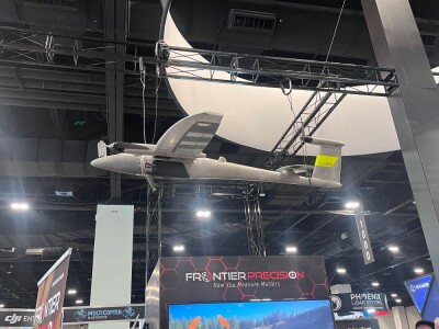
If you work in the drone industry, there’s a good chance you have a connection to geospatial technology. You might use lidar for a mapping project, GPS for delivery operations, or you employ a suite of digital tools to oversee progress on a construction site. Finding the right sensors, cameras, software, and related geospatial technology to work with your uncrewed systems is a central concern in your work.
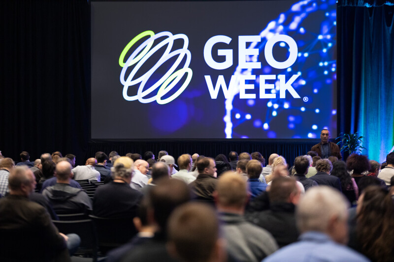
Because so many UAV operations rely on geospatial tools, the upcoming Geo Week event will showcase many drone innovations. Scheduled for February 16-18, 2026, at the Colorado Convention Center in Denver, CO, Geo Week will bring together geospatial and mapping professionals from around the world. Across the show floor and in sessions and workshops held throughout the week, Geo Week will show how data, maps, and advanced technologies are helping professionals in fields ranging from environmental management to energy to transportation better understand the world around us and find solutions to complex problems.
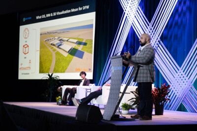
If you’re a drone industry professional, Geo Week will provide you with a unique opportunity to meet with technology leaders, network with peers, and gain insights that can improve your day-to-day work. You’ll see the latest systems, learn about innovative uses of drones and geospatial tools, and find new ways to approach your operations.
Here’s a look at a few Geo Week sessions of interest to drone industry professionals:
- Executing Wide-Area Airborne Mapping Projects: A Practical Guide: For this session, a panel of experienced executives from various mapping companies will explore the intricacies of executing large aerial survey projects, many of which are conducted using crewed aircraft equipped with lidar systems and large-format multi-camera systems. Drawing on experiences working in fields such as infrastructure, construction, urban planning, agriculture, forestry, oil and gas, and mining, the panelist will look at both the scientific and artistic aspects of aerial surveying, highlighting best practices, technological advancements, and the challenges faced in different regions.
- Imaging Resolution in Ground Sample Distance: Fact or Fiction: A panel of experts from the satellite, airborne, and UAS sectors will discuss the definition of Ground Sample Distance (GSD) and how it is applied across different modalities. They will explore whether Ground Sample Distance really defines the spatial details of imagery—and if it is even the right measure of resolution. They will also discuss issues around GSD calculations, how GSD is tested to assure that spatial detail and resolution align to specific projects, and if is there a better way to describe the true spatial detail and image content of remote sensed imagery.
- Exploring UAS, Helicopter, and Ground Survey Tradeoffs: Presenting lessons learned from projects using drones, helicopters, and traditional surveying methods, this session will compare cost, accuracy, efficiency, and operational considerations for geospatial data collection. With the goal of helping attendees identify approaches that deliver the greatest value for their specific operations, panelists will review the range of options available for geospatial data collection and help surveyors and mapping professionals decide which platforms best suit their needs and goals.
- Latest Breakthroughs in How We Capture, Process, and Visualize the Built World: Presented in two parts, this session will highlight the latest breakthroughs in how we capture, process, and visualize the built world—from field data collection to high-fidelity digital twins. First, “Leveraging Reality Capture Workflows Across Diverse Transportation Projects” will showcase how modern workflows combining terrestrial, UAV, mobile, and wearable lidar with SLAM mapping are improving efficiency and accuracy in transportation design and assessment. Next, “Elevating Digital Twins: High-Fidelity Reality Capture with Gaussian Splatting and Enhanced Photogrammetry” will show how Gaussian Splatting and advanced photogrammetry are redefining 3D visualization and digital twin creation.
Click here to secure your place at Geo Week 2026. Registration is now open!


Comments