
While we’ve already documented a few of the best places to read relevant commercial drone content, most of the blogs out there focus on the written word as opposed to video content. Articles are obviously a critical way to convey information, but videos can provide viewers with perspective and understanding in a way that words cannot, especially when it comes to UAV technology.
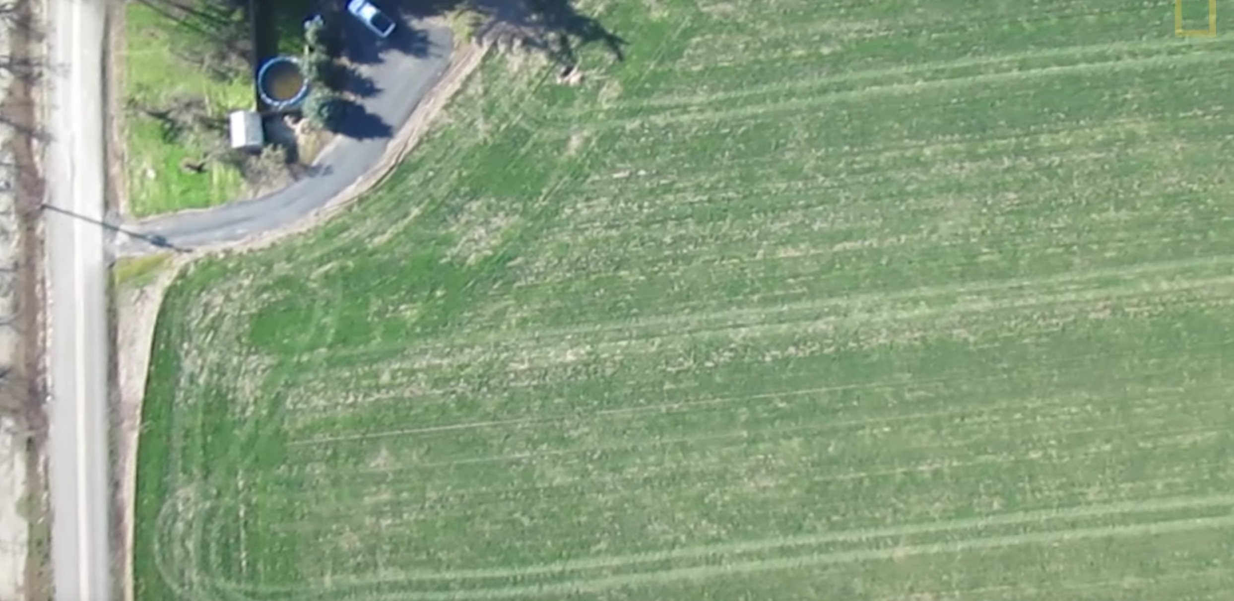
Whether you’ve flown a drone across your farm or you’re just trying to figure out why you’d want to do such a thing, you’ll be able to take something from each of the videos below. Different people look to accomplish different things with drones, and the videos here showcase many capabilities which can be utilized by various types of precision agriculture professionals.With one hour of video being uploaded to YouTube every second, we’ve undoubtedly missed out on some great video resources, so please let us know via Twitter or email which videos can and should be included in Part 2. Drones Poised to Elevate Agricultural Efficiency – IowaPublicTelevisionThis video is more of a “101” for anyone who is curious about how drones can impact the way in which farmers survey a field and what they need to know about restrictions from the FAA. That said, the video gets specific in terms of multi-spectral images, infrared wavelengths and other features that offer critical info about plant health.One of my favorite quotes from the video is when Rick Reed, Executive Director of the Illinois Agriculture Aviation Association, stated, “I have no understanding where they come up with those numbers,” about the AUVSI report that said 100,000 jobs and 82 billion dollars would be added to the US economy by 2025. Plenty of experts have been critical of those predictions, but few have expressed such blunt opinions.Ag Consultant Chad Colby is quoted in the video as saying using drones means “a different approach,” and that methodology and mentality around how to use UAVs effectively is showcased throughout. 3D Robotics drone helps farmers with precision agriculture – 3D RoboticsThis video is short and sweet but provides an incredible amount of information and perspective in just over 90 seconds. We see Vigneron Paul Sloan getting a whole new perspective on water usage and water damage in his vineyard, which is heavily influenced by how he plants his rows.The VO allows the viewer to see and understand exactly how the drone is helping Sloan gather the info he needs, and the visuals provide a clear picture of what those logistics look like. We get to see the aerial images captured by a camera mounted to the drone pinpoint areas in the vineyard that need more attention.While it would have been ideal to see the creation of an NDVI image that was mentioned in the video, there’s a big benefit in focusing on how simple this can be for the user. We literally hear Sloan says, “that’s not so hard”, after landing the drone, and the ease-of-use around how to gather critical info from the sky is something that will stay with the viewer. From Drone To Tractor – How Using A Precision Farming UAV Can Improve Crop Management - senseFlyThe choice of music in this video is a bit odd, as it starts off with what feels like a delay, and then keeps going even when it would have been better to go completely silent. At times, senseFly’s Nathan Stein seems to be talking over it as he explains what he’s doing and what we’re seeing.Nonetheless, the step-by-step run through of the workflow from flying the drone to in-field analysis to scouting the area and more are all documented here to provide a fantastic look at what each step entails. The video does exactly what it says it’s going to by taking the viewer from a drone flying in the air all the way to seeing that info utilized inside a tractor.A better view of the info they’re looking at on the tablet would have been preferable, but showing the creation of the application map provides a great sense of what the process and eventual asset look like. That sense of thoroughness is seen throughout as the video shows and tells not only how to capture vital information, but also what can be done with it. Ag Scout Series - Crop Scouting, NDVI Mapping & Precision Agriculture Drones – Aerial Media ProsWhile this video runs a bit long and might feel like an infomercial, it nevertheless provides precision agriculture professionals with a great look at what sort of options they have. The video explains what each of the models being shown off have to offer, but it’s not the capabilities of these particular drones that should be the focus.What’s great to see here is how these drones are used to create NDVI imagery. The final image that’s created can be paired with a mapping and processing software in which the user has the ability to create NDVI maps. Details around what these images actually look like are often skipped over in videos, but that info is on full display here.While viewers should definitely take note of the different capabilities that are being showcased, what’s even more important to remember is that models and particular solutions don’t need to be the focus. As Chad Colby says, there are different airplanes for different missions, and flying a drone is no different. You can only decide what tool is going to be the right fit for you after you’ve determined exactly what you want to accomplish with that tool. Drones and the Future of Farming – National GeographicA great combo of showing and telling, this video shows a number of different drones flying over farms while various professionals talk about what using UAVs means to them and for the precision agriculture industry. It’s great to hear and see how drones can be specific in terms of spotting and taking care of problem areas on a farm in ways a plane or hand inspection cannot.The info Honeycomb CEO & Founder Ryan Jenson lays out about how and why drones are all the same cuts to the core of what so many are confused about, while farm manager Greg Harris explains what sort of flexibility drones enable on his farm. These voices provide critical insight around the priorities and challenges that are ever present on both sides of UAV technology.The aerial footage and shots of drones flying up and into the air give the viewer a real sense of what drones can do for them, which is a great showcase of a technology that can help farmers see higher yields and keep their plants healthier longer.Subscribe
The information you submit will be stored and used to communicate with you about your interest in Commercial UAV News. To understand more about how we use and store information, please refer to our privacy policy.
January 27, 2016
The Top Commercial Drone Precision Agriculture Demo Videos – Part 1

Want more stories like this? Subscribe today!


Jeremiah Karpowicz is the former Editorial Director of Commercial UAV News. He has spent over a decade cultivating communities of all different types, both in-person and online. He has created articles, videos, newsletters, ebooks and plenty more for these communities as a contributor and editor. He has also shaped and defined various conference programs. Today, he is focused on defining what it means to take the engagement that happens in both the physical and digital worlds to the next level. You can get in touch with him on LinkedIn.
Featured Report
Featured Authors More Authors ›

Featured Authors


Newsletter Signup
Our Events


Our Events
September 1-3, 2026 • Las Vegas
February 23-25, 2027 • Salt Lake City
Comments