

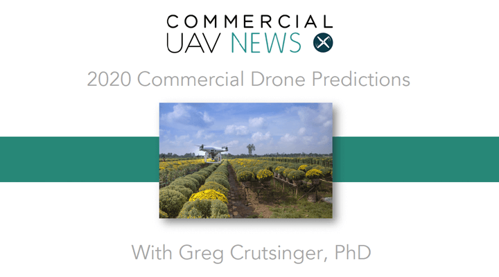
Greg Crutsinger (PhD), the founder of Scholar Farms, has been in drone precision agriculture almost since the beginning. Having witnessed the hype of the early years on how drones would take over agriculture industry, he has an understanding of the complex reasons why it has been slow to adopt drone technology and what needs to happen to start seeing ROI today and in the future. This made him an ideal person to connect with to discuss the current and future trajectory of drone technology in precision agriculture.
Commercial UAV News caught up with Crutsinger to get his 2020 predictions about climate change, how the conversations about drones are changing, where there is money to be made in precision agriculture with drones, and more.
Danielle Gagne: How have the effects of climate change impacted the way farmers are approaching/need to approach agriculture? What are some of the changes you anticipate will have to be made in order to keep up with demand in 2020 in light of current environmental conditions? How will drones help?
 Greg Crutsinger: Climate change is a broad issue with a lot of different implications. We know that the average climate is changing, but so are the extreme weather events that can lead to flooding or droughts. We're seeing more frequent catastrophic events and a growing need for on-demand, high-resolution drone imagery to document affected areas and quantify impact. I think that's where drone technology is going to be really successful for climate change is in aiding in the rapid response to these major events.
When drones first started to become part of the agriculture industry, there was an expectation that this was going to be a key industry for drone technology, but this hasn’t really been the case, at least not to the extent that was once envisioned. There has been a lot of over promising and under delivery. What have been some of the roadblocks in its growth, and what needs to happen in 2020 to start seeing the type of utilization that was first envisioned several years ago?
A primary reason that drone adoption has been slow in agriculture is that there are a handful of steps between capturing drone imagery to ROI. These steps involve collecting photos, processing them into map layers, interpreting the maps through ground truthing in the field, making some sort of management decision, and then measuring whether that decision was cost effective at the end of the year. That's pretty different than something like stockpile measurements where you quickly get volumetric data about changes in a rock pile and that volume is worth a certain amount of money. Plants are more complicated.
Even when we can define the relationships between the imagery and an agronomic decision, those relationships are very different for corn in Iowa versus a vineyard in Napa Valley. We need to establish the relationships between drone imagery and decisions for each crop in each location over the course of the growing season. That’s a process that will take time and partnerships with universities and agricultural extension centers. It is also a message that I don’t think was conveyed well early on in the drone industry side. There were big promises with a failure to deliver. Sure, I can give a grower ten different maps, but I can’t tell them the direct answer to their problem. Is that enough to convince someone to buy a drone or software? It appears only the very early adopters have seen the value to date.
For these reasons, I’m excited about new tools emerging in the drone industry for extracting information from the image layers. Companies are investing in more advanced analytics, like machine learning or real-time computer vision, to get quantitative data faster. Another trend we are seeing is diversification on the drone hardware side with a couple of different players, including DJI, coming in and addressing the agricultural space. I think we'll see pretty interesting competition on both the sensor and software side in the next year.
Where and what types of applications have you seen deliver actual value, and how do you see this being built on or expanded in 2020?
When it comes to agricultural applications already providing value, drones are delivering at the low end and high end of the spectrum. On the low end, we are seeing low-cost drones using standard color (RGB) cameras being scaled for field scouting and mapping projects that span multiple teams and locations. This is simple taking off-the-shelf DJI drones and plugging the imagery into easy-to-use tools that can be quickly shared. DroneDeploy and their partnership with Corteva is perhaps the best example of this.
On the high end, drones are being used for agricultural research and breeding trials that inform the future product pipeline. These are small, replicated plots that need to be measured very precisely and the value of the data is much greater than that of the crop itself. To meet these needs, we are seeing investments in zonal statistics from companies like PrecisionHawk, Delair, Solvi, and SlantRange to automate the process of extracting plot-level information for statistical analyses. Coming from a plant science background myself, I’m pretty happy about this trend.
In the foreseeable future, there are two major changes that give me hope the agricultural market is not just hype. The first is rapid processing of imagery, including products such as DroneDeploy’s Live Map and Pix4DFields. Processing drone imagery into maps has been a major bottleneck for agricultural use. Now what would have taken hours, can now be done in real time or within 10 to 15 minutes all offline. The second development has been in machine learning tools to extract valuable information from map layers. This will reduce the need to be a GIS person in order to run advanced analytics on top of your drone map layers.
I also foresee some bloodiness in 2020, especially with DJI coming into the market with the Phantom 4 Multispectral. This move makes me concerned about how many multispectral camera manufacturers the market can support and the impacts of competition with DJI’s fully integrated system and aggressive pricing. Pure speculation here, but I can also see DJI coming out with a multispectral sensor for their professional M200 series given that the Phantom 4 is an older legacy platform. This would further compete with other solutions on the market.
What kind of real value do you think that AI/machine learning is going to be able to provide people in 2020?
A trend I see is plant counting becoming a standard software tool. Stand counts inform a lot of agronomic decisions and automating the process is very useful. A range of companies are already offering solutions that recognize and count plant individuals, particularly early in the season when individuals are distinct (not touching) and the background is bare soil. In tree crops, machine learning is being used to determine crown size or gaps in trees. The Aerobotics team out of South Africa has a nice user interface for this.
I tend to work with messier systems, such as coffee in the tropics, where steep terrain, background vegetation and overlapping canopies make this a difficult problem. I think the tools will get better over time, but right now it can be pretty tough, if not impossible. There is still a lot of work to be done.
One of the major things Scholar Farms does is provide training for people looking to use drones in precision agriculture, how have needs and expectations changed over the years and how do you think they may continue to change in 2020?
There remains a significant component of training that is about hardware (e.g. which drone should I buy?). But the move is clearly toward a focus on the sensor and analytics. People want to know what solution will give them the best data. I am still waiting for the ideal end-to-end solution for vegetation mapping and am typically mixing and matching different sensors and software to meet a range of requirements.
For me it's about keeping up with vegetation mapping solutions as they are released. I am always tracking new tools, determining that it actually works (or fails) and then figuring out the best way to teach it to the those who want to stay on the cutting edge. It's a full-time gig just to keep up on this side of the drone industry. In fact, I'm updating my professional online course, Phytomappers Pro, as we speak.
What do you think will be the biggest development in 2020 for precision agriculture in the drone industry?
I think 2020 will be about further solving the challenges of data acquisition and rapid processing, moving toward better analytics for different crops, getting closer to directly informing the decision-making process, and narrowing that gap between flight to ROI. Eventually this with be a fully automated process using drones-in-a-box…but that will be a few more years out. All in all, it’s a good direction for agriculture.

.jpg.small.400x400.jpg)


Comments