


As has become tradition at Commercial UAV Expo, the opening day’s conference track kicked off with the Exhibitor Showcases, during which 13 of the leading companies from across the commercial drone industry presented on their latest offerings and releases. The companies ran the gamut in terms of product offerings, with drone manufacturers, payload suppliers, software companies, and more representing the industry during the session. Below, you can find the first part of our recap of the presentations, covering software, payload, and power offerings. You can also check out parts two and three.
RIEGL
One of the most well-established providers of laser scanning technologies in the world, RIEGL showcased its powerful line of laser scanning technologies for aerial systems, ranging from miniature scanning systems like the miniVUX-1 all the way up to systems like the VUX-240, designed for heavy-lift fixed-wing aircraft. My-Linh Truong, RIEGL’s division manager for unmanned laser scanning, touched on the entire line, including their newest offering with the new VUX-100. Additionally, she talked about the company’s RiLOC line of products, a location and orientation component made in-house, as well as their RiPROCESS and RiPRECISION software systems. All together, these products give a full workflow for collecting and processing lidar data for accurate point clouds across sectors like corridor mapping, forestry, and more.
3Dsurvey
3Dsurvey, a photogrammetry software company with a robust portfolio of products, took the stage to highlight just how efficient data processing can be with their solutions. Matija Zupan, a quality assurance manager with the company, started his presentation with the theme that 3Dsurvey is more than just photogrammetry, an idea that rang true throughout his description of all the services they provide.
In this presentation, he showcased all the unique ways 3Dsurvey can process photogrammetric data with their different software offerings. These include capabilities such as CAD on mesh projections, X-Ray views, azimuth measurement, spherical image support, and plane and perpendicular imaging, combining photogrammetric software with AutoCAD. Zupan illustrated the power of 3Dsurvey’s software with a video that showcased a detailed walkthrough of an automated workflow, specifically showing how a 3D model was made with 600 images in under 20 minutes.
GeoCue
GeoCue Group, a lidar and photogrammetry sensor manufacturer, announced its newest products, the TrueView539 Imaging System and the TrueView Go 360 Photo Kit. After sharing a brief company history, sales manager Chad Dillard dove into each new product’s specifications. The TrueView 539 is a new lidar scanning payload coming in at what they say is a significantly lower price point than other lidar scanners at $45,000, also including access to the GeoCue LP360 software. This system includes a 26 MP global shutter full-frame camera, perfect for high-accuracy survey operations. Weighing in at 1.45kg and operating at up to 300 meters makes it an efficient scanning tool.
The TrueView Go 360 Photo Kit captures immersive 3D data to integrate with lidar point cloud data. The device enables a street-view-like experience to improve site visualization.
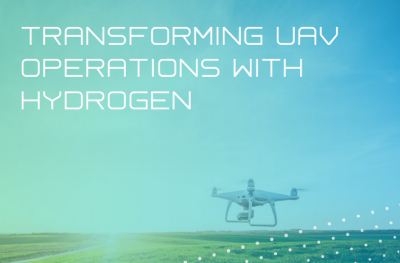
H2MOF
Commercial drone professionals have been investigating the use of hydrogen to power uncrewed systems for years, but many issues have hindered wide adoption. During the Exhibitor Showcase Presentations, Magnus Bach, VP of business development, for H2MOF, Inc., explained that while hydrogen is “clean and abundant,” it is also “difficult to store and transport safely and efficiently.”
To address these issues, he explained, H2MOF has developed the “Metal Organic Framework” or “MOF.” Bach said that MOF is “an engineered reticular material with a large surface area for hydrogen storage.” This, he said, makes MOF a durable, efficient solid-state hydrogen storage solution and an ideal way to use hydrogen to power drones. To make his point, Bach presented case studies showing how hydrogen energy systems based on MOF can improve the range and payload capacity of UAVs, and make them more efficient, cost-effective, scalable, and safe.


Comments