

Sponsored by Versaterm DroneSense
Public safety agencies are increasingly turning to drones to gain an aerial view of developing incidents before responders arrive. From assessing a scene to monitoring activity at a large public event, drones can give dispatchers and responding personnel valuable information to help coordinate their response.
But the value of a drone program extends beyond the aircraft itself. Agencies need a way to connect drone operations with dispatch, share aerial video with the people who need it and maintain reliable records of flight activity. Without that connection, coordinating drone support can introduce additional steps for dispatchers, pilots and field personnel.
With nearly five decades of experience developing public safety technology, Versaterm brings its understanding of agency operations to this challenge through Versaterm DroneSense. By connecting drone operations with computer-aided dispatch (CAD), Versaterm DroneSense helps agencies incorporate aerial resources into established response workflows, making it easier to coordinate drone support alongside ground units.
Bringing Drone Operations Into the Dispatch Workflow
When a drone can be requested through the same process dispatchers use to coordinate other response units, agencies can make aerial support a more practical part of everyday operations.
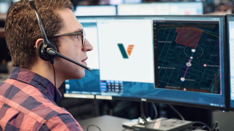
Through its integration with Versaterm CAD, dispatchers can request a drone within their existing workflow. The request passes through Versaterm DroneSense to the pilot’s control interface, helping coordinate the process from dispatch to flight operations without relying on additional radio communication to initiate the request.
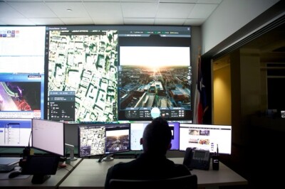
Once a drone is airborne, live video can give dispatchers and responding personnel a clearer view of developing incidents. A link lets authorized users access the footage and stay informed as conditions change. This additional perspective can help teams assess what is happening and coordinate their next steps with more information available to them.
Airspace awareness is another important consideration as agencies expand their drone operations. Versaterm DroneSense helps pilots identify nearby crewed aircraft and deconflict with other airborne assets. For agencies managing planned activities, OpsHub within Versaterm DroneSense supports drone coverage planning for large public events and other complex operations.
Together, these capabilities support the coordination of drone requests, aerial video, airspace awareness and flight planning within public safety operations.
Building Accountability Into Daily Operations
As drone programs grow, agencies need reliable information about how their aircraft are being used. Flight records help program managers understand operational activity, evaluate coverage and communicate results to agency leadership.
Versaterm DroneSense automates the collection of flight information, capturing details such as location, duration and operational use when a drone powers on. This creates a more consistent record of activity while reducing the need for pilots to document every flight manually.
That information can support more informed decisions about how a program operates. Leaders can review activity, identify usage patterns and assess how drone resources are being used across their agency. Consistent records also provide a foundation for reporting program activity to decision-makers and planning future resource needs.
By incorporating data collection into the operational workflow, agencies can maintain visibility into their drone programs without adding the same administrative burden that manual reporting can create.
Why Dispatch Integration Matters as Programs Scale
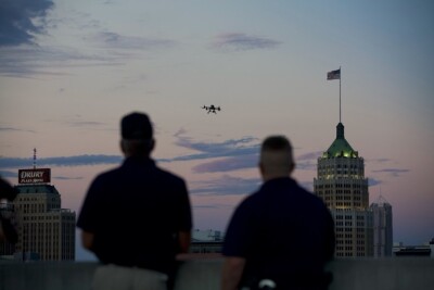
For agencies moving from a single patrol drone toward Drone as First Responder (DFR) operations, coordination becomes even more important. As aircraft, docking stations and service areas expand, agencies must manage more activity while ensuring drone operations remain connected to the response on the ground.
A drone arriving ahead of responders can provide an early view of an incident, helping personnel assess conditions before reaching the scene. Delivering that benefit consistently requires coordination between dispatchers, pilots and responding personnel, along with clear visibility into flight activity.
Technology that connects these functions can help agencies build on their existing operations as their programs develop. Dispatch integration gives personnel a familiar way to request aerial support, while automated flight records help program leaders understand how resources are being used. Video sharing extends the value of aerial visibility to the personnel coordinating and responding to incidents.
Scaling a program is not simply a matter of adding more aircraft. It also means establishing operational processes that support consistent coordination, accountability and planning as demand grows.
Making Aerial Resources Part of the Response
For agencies evaluating drone technology, the question extends beyond which hardware to purchase. The supporting platform matters, too. It should help dispatchers coordinate requests, give pilots the tools to manage flight operations and make aerial information accessible to the personnel who need it.
Versaterm DroneSense brings these capabilities together with Versaterm’s experience developing technology for public safety agencies. By connecting drone operations with dispatch workflows, sharing live video and automating flight data collection, the platform helps agencies put aerial resources to work as part of their broader response.
Whether an agency is launching its first drone unit or expanding a DFR program, connecting the technology in the air with the people coordinating incidents on the ground can help make drone operations more manageable as needs evolve.
Learn More About Versaterm DroneSense
Discover how Versaterm DroneSense helps public safety agencies connect drone operations with dispatch, share live aerial video and maintain consistent flight records. Explore how your agency can bring aerial resources into its response workflows and support the next stage of its drone program.
Explore Versaterm Airspace
Learn how Versaterm Airspace helps agencies monitor airspace activity by bringing together planned flights, authorized operations and detected aircraft for greater situational awareness.










Comments