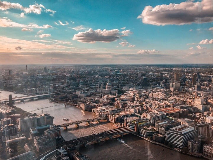
According to Drone Industry Insights (DII) the commercial drone industry in the United Kingdom (UK) is one of the strongest in Europe, and it has some of the greatest potential for growth. The market research firm states that “the country's robust economy, with a real GDP of US$3 trillion, and its global influence in various fields make it an ideal environment for the drone industry to thrive.” Moreover, DII stated, “many drone operators and companies in the UK are members of a drone association, indicating a sense of community and collaboration within the industry.
Like most countries, the UK drone companies and operators must deal with a complex and ever-changing regulatory landscape, particularly around BVLOS operations. As a recent article in The Conversation explained, “the UK’s drone policy is a patchwork of local bylaws, national legislation, and retained European Union (EU) rules, creating a confusing landscape for companies to navigate.” In addition, the article said, firms looking to add UAVs to their work must contend with “legislation on privacy, data, harassment (for drones that use cameras), noise and human rights, including the potential redundancy (or reskilling) of human workers.”
Still, many drone companies in the UK are thriving, and an increase in adoption across industries such as construction, delivery, public safety, and surveying point to a bright future.
Continuing our UAVs Across Europe series, the following case studies represent some of the ways companies and organizations in the UK are finding new ways to integrate uncrewed technologies into their operations.
Drone-in-a-Box for Emergency Response and Public Safety
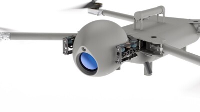
In October, British UAV manufacturer Evolve Dynamics received a grant competition for an Innovate UK Smart Grant, funded by UK Research & Innovation, part of the UK government. The grant recognized Evolve’s Drone-in-a-Box technology “that can be used to provide a rapid response to emergency situations.” According to the company, the system “will be vehicle-mountable or transportable by a single person, in turn reducing the challenges of moving larger uncrewed aerial vehicles (UAVs). Unlike existing UAVs currently used by first responders, this new innovation will feature vertical take-off, landing and recharging, all of which can take place autonomously, without human intervention.”
London Firefighters Turn to Drones and GIS
One of the world's largest firefighting and rescue organizations, the London Fire Brigade (LFB) has turned to drone mapping and GIS, based on ESRI software, to improve response times and asset management. As reported in Heliguy, LFB has been testing ways to turn “DJI drone photogrammetry data into 2D orthomosaics and 3D models.” At the same time, the organization has trialed drone mapping for live incidents and HazMat incidents, and it sees potential for drone mapping to aid in fire safety and fire engineering. As an LFB official stated, “Combining drones and drone mapping software - and the information and the accuracy they give you - is a gamechanger.”
Apian Advances in Medical Delivery by Drone
UK startup Apian has been involved in two recent efforts to increase and improve the use of drones to deliver critical medical supplies. For example, Apian is working with drone delivery firm Wing and the UK’s National Health Service (NHS) on a six-month pilot project “to fly urgent blood samples” between Guy’s Hospital and St Thomas’ Hospital in London. As reported by Tech Crunch, the project will deliver “urgently required blood samples for surgery patients who are at high risk of complications from bleeding disorders.” At present, samples delivered by conventional vans or motorbikes can take 30 minutes or more, but the projects leaders see drone-based deliveries taking less than two minutes. In addition to shorter delivery times, the project hopes to reduce “said CO2 emissions associated with blood delivery.”
The NHS and Apian have also been involved in a trial project to delivery blood along a the 68-kilometre route between “the Wansbeck hospital to Alnwick and back again in the northern county of Northumberland.” As reported in EuroNews, five blood packs “were transported by drones flying at more than 100kph” and another five packs traveled by road. “Researchers found that the quality of the blood delivered by drone wasn't affected, with lab results showing no discernible difference in damage to blood cells or changes in levels of potassium.”
UAVs for Farming and Sustainability
GOV.UK’s Natural England blog recently highlighted two innovative uses of drones to advance farming and sustainability. First, government farm advisors are exploring ways to use uncrewed systems to advance Natural Flood Management (NFM) solutions. Focused on the River Wissey, farm advisers working with an in-house drone team “are using drones to capture detailed images along a 6.6 km stretch of the river.” Government officials plan to share the images “with landowners and environmental partners to discuss restoration proposals.”
Also, at Eves Hill Farm in Norfolk, drones have been deployed to sow cover crop seeds and improve the health of the soil. Offering a low-carbon solution to planting, the drones fly “at 22 mph and just 6 meters above ground level, using radar to follow the contours of the land.” According to reports, the uncrewed vehicles can plant 15 hectares of land in one hour’s time, bringing efficiency to planting operations. Moreover, drone flights cut down on “soil compaction, a common issue with heavy farming machinery.”
Want more insights on UAVs Across Europe?
Commercial UAV Expo Europe will bring the commercial UAS ecosystem together. The event will serve as the pivotal platform for commercial drone professionals across Europe to explore, connect, and innovate within the rapidly evolving world of UAS.


Comments