

Most mapping and surveying professionals see clear value in using drone technology for their work. Low-cost, fast-moving drones equipped with high-quality cameras and sensors can cover large areas of territory and deliver detailed and accurate information. This information that can be accessed, analyzed, and put to use immediately, saving surveying and mapping operations time and money.
Leaders in this sector were early adopters of UAV technology, and, over the years, they have found many ways to integrate drones into their projects. “Many industry experts realized that drones could quickly and inexpensively cover large areas, as well travel to hard-to-reach places,” Christian Stallings, a certified photogrammetrist and Director of Operations at Alynix, told Commercial UAV News. “Also, they understood that these vehicles could be equipped with remote sensing technology and sensors capable of delivering high-quality data.”
These realizations have spurred heavy investment in drones and related technologies. According to the 2022 study “Aerial Imaging - Global Market Trajectory & Analytics,” the worldwide aerial imaging market could hit $4.6 billion by 2026. The report asserted that the growth is driven by improvements in imaging technology, as well as “processing methods, collection platforms and cloud storage and analytics platforms.”
Looking ahead, the report stated that the aerial imaging market will continue to expand as businesses and government entities become more aware of its value in areas such as urban planning, energy exploration, security, and environmental management.
So, where do these efficiencies come from and how can the value of drones in surveying and mapping be defined? First, drones can go places where human beings cannot go, greatly expanding the scope and usefulness of surveying and mapping projects. And, as stated earlier, UAVs equipped with the right cameras and sensors enable mapping and surveying professionals to capture hundreds of aerial images and thousands of pieces of information quickly and efficiently.
Speaking of sensors and cameras, drones have changed the "photogrammetry vs. LiDAR" debate, an ongoing concern in the world of surveying and mapping. In simple terms, photogrammetry uses photographs to make measurements, while LiDAR, short for “Light Detection And Ranging,” gets its measurements using light or lasers. Both are powerful data capture technologies that become even more powerful when paired with drones.
In general, surveyors and mappers have found that photogrammetry offers great results and cost-savings for small mapping projects and for capturing images of areas that are not occluded by trees, buildings, or equipment. On the other hand, LiDAR has proven its value for mapping obstructed and narrow areas.
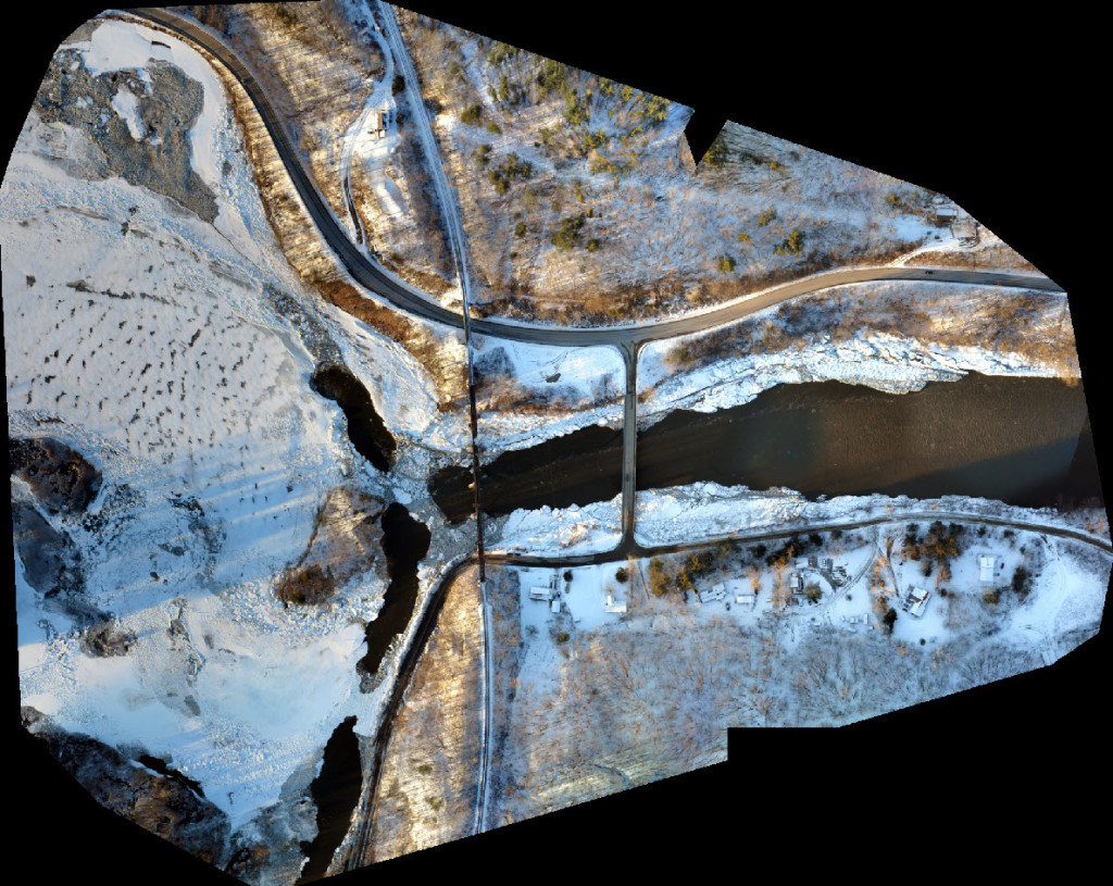
Regardless of whether data is collected through LiDAR or photogrammetry, this information provides significant value for surveying and mapping operations. Today, the images and data captured by UAVs can be paired with specialized software to create 2D and 3D maps and models. These models include orthomosaic maps to measure topography and infrastructure, digital surface models used for landscape and city planning, digital terrain models for land-use analysis and geological applications, and point cloud surveys for internal and external scans of buildings. The wealth of data and the quality of data that can be collected through drone operations offer many opportunities to surveyors and mappers to increase the value of their work.
Still, assessing the actual dollar value of this work can be difficult.
Speaking with Commercial UAV News, Tanner Harris, President of Blue Nose Aerial Imaging, said that there is “clear value in using drones for certain inspection and mapping operations,” specifically when “it comes to safety and efficiencies.” However, he cautioned that “it becomes a bit more nuanced and potentially more difficult to quantify some of the more technical applications out there.”
Assessing the actual ROI of a drone operation for surveying and mapping, Tanner stated, will come from better interpretations of the data derived from the work. “The more we understand about flight planning, the more we can analyze data from our operations, and the more we understand the ways we use personnel, hardware, and software, the more we will be able to accurately report ROI,” he said.
Want to figure out what it can mean for you to define value with drone technology?
Alynix and Blue Nose Aerial Imaging will both be exhibiting at Commercial UAV Expo, in addition to more than 140 companies using advanced drone technology solutions for real-world applications. Commercial UAV Expo is the definitive event for professionals integrating or operating commercial UAS. With top-notch education, thousands of attendees, and more exhibitors than any other commercial drone event, it’s the best opportunity of the year for anyone who needs to keep up with commercial UAS technology, trends, and developments. Registration is now open - click here to register today.


Comments