
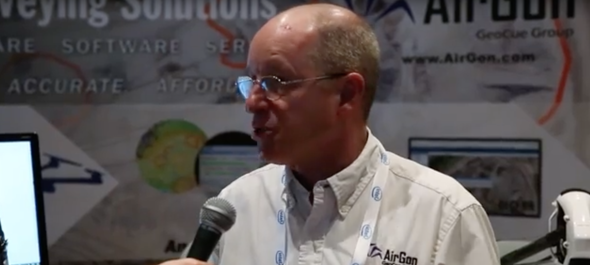
The AirGon booth at the Commercial UAV Expo literally had a sign that said, “Ask About Our BYOD Mapping Kit”, so I did just that with Lewis Graham, President/CTO of GeoCue Group. I had previously connected with Lewis to get his thoughts around whether or not drones are destined to become another survey tool, and if every survey truck has a drone on it in within the next few years, there’s a clear answer to that question.
During the interview, I asked Lewis a number of questions that focused on how professional surveyors can and are using the Kit. He discussed why it’s a good bridge for people who want to enter this market, what sort of feedback they’ve gotten about the kit, what the process to get started looks like and more. For a more complete look at the features and capabilities of the Bring Your Own Drone (BYOD) Mapping Kit, download Drone Mapping Considerations: Mapping with Low Cost PlatformsSubscribe
The information you submit will be stored and used to communicate with you about your interest in Commercial UAV News. To understand more about how we use and store information, please refer to our privacy policy.

Want more stories like this? Subscribe today!
.jpg.small.400x400.jpg)


Jeremiah Karpowicz is the former Editorial Director of Commercial UAV News. He has spent over a decade cultivating communities of all different types, both in-person and online. He has created articles, videos, newsletters, ebooks and plenty more for these communities as a contributor and editor. He has also shaped and defined various conference programs. Today, he is focused on defining what it means to take the engagement that happens in both the physical and digital worlds to the next level. You can get in touch with him on LinkedIn.
Featured Report
Featured Authors More Authors ›

Featured Authors


Newsletter Signup
Our Events


Our Events
September 1-3, 2026 • Las Vegas
February 23-25, 2027 • Salt Lake City
Comments