


This week’s news round up looks at a new vertiport being tested in Japan, drones integrated into police operations in Ohio, and research around how drones can improve weather forecasting at the University of Oklahoma.
eVTOL Passenger Drone Taxi Demonstrated in Tokyo
The Japanese company SkyDrive Inc. has plans to run a public demonstration of their new eVTOL air taxi model, the SD-05, in late February. The company plans to launch this drone in 2028, but is calling for the public to join in on the demonstration. They are even asking for “passengers” to run through the process of checking in for an autonomous flight, though there will be no passenger flights running as part of the demonstration. The event is put on through collaboration with the Tokyo Metropolitan Government, Mitsubishi Estate Co., Ltd, and Kanematsu Corporation, and flights will be run with a combination of automated control and remote pilot technology. This is a big step in the direction of the city’s eVTOL Implementation Project, which aims to have commercial flight operations ready by 2030.
Ohio Police Departments Implements Drone Program
Officers across the state of Ohio have incorporated drones into their operations and have quickly seen the benefits. In Akron, their program has grown to include 20 trained pilots to operate a fleet of seven drones, with hopes to add more, including docked drones. Their fleet includes indoor drones as well, which they have claimed to be a gamechanger in protecting their officers by sending the drone into dangerous buildings to scout out the area.
There are currently six law enforcement agencies in Ohio using Skydio drones for their programs. These agencies may serve as good examples to other agencies who will need to switch over to domestic drone products in the future, considering new regulations.
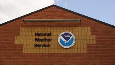
Drones Capture High-Accuracy Data for Weather Predictions
Researchers at the University of Oklahoma are using drones to advance short-term weather forecasting through the 3D Mesonet Project. This project is made possible with funding from a NOAA contract. The drone is launched from an Oklahoma Mesonet station and from the flight, the team can gather data on the atmospheric boundary layer. Compared to weather balloon, the drone can get data more frequently, even on an hourly basis. This allows the team to collect weather data from parts of the atmosphere that have never been measured.
This high-accuracy data can drastically improve predictions for dangerous weather events like tornadoes, severe thunderstorms, and winter storms. It also has the ability to detect small changes in temperature that could signify the difference between snow or freezing rain.


Comments