

The adoption of high-precision GNSS options has been mostly relegated to those who do mapping, surveying, and logistics. Since drone flights that can operate beyond visual line of sight (BVLOS) are not easily permitted, the quality of GNSS may not be top of mind for many drone users. So long as the drone remains within visual line of sight, operators have, for the most part, felt secure with their drone and the data it’s collecting.
However, this reality is beginning to change as users start to understand the symbiotic relationship between their drone and the data it collects. This relationship between data and drone has only been amplified with the latest grounding of Chinese manufactured drones by the DOI, who cited protecting data as its primary reason for this decision. Septentrio, a manufacturer of highly accurate and reliable GPS/GNSS receivers, understands the challenges of keeping data secure and has developed solutions to address issues of GNSS interference and spoofing, which includes their Advanced Interference Monitoring and Mitigation system (AIM+).
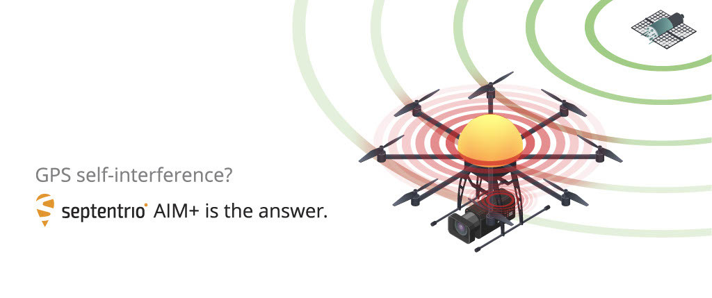
“Septentrio’s AIM+ technology combines the power of hardware and software in order to monitor and mitigate the effects of interference signals,” explained Gustavo Lopez, Market Access Manager at Septentrio. “It greatly simplifies your drone integration and protects you from the most relevant risks in interference.”
AIM+ is capable of detecting signal anomalies that could be impacting the viability of your GNSS data. Once detected, compromised data can be weeded out of the drone’s positioning calculation, ensuring that the collected GNSS data is authentic, thereby guaranteeing the integrity of the flight data. It anticipates the ways in which GNSS data can be compromised from without and within.
Interference can come from many sources, including the drone itself. For instance, the electronic equipment inside the drone can jam GNSS positioning. Electromagnetic radiation in the environment can also inadvertently distort the signal. For example, a nearby vehicle equipped with electronics or a radio amateur can send out radio frequencies that jam GNSS signals. Any interruption or distortion to GNSS data can directly and indirectly compromise the viability and quality of the data being collected. Once the data has been compromised, every decision based on that data will be compromised as well.
Additionally, jamming is not the only source of concern. Spoofing involves malicious attempts to hack into GNSS data either by rebroadcasting prerecorded GNSS signals or by generating and transmitting modified satellite signals. Spoofing has become a real issue for drone operators. Although it may be difficult to imagine this kind of attack targeting commercial operations, it is relatively easy to do. As an example of how easy and common this is, Pokémon GO fans already use inexpensive Software Defined Radios (SDRs) to spoof their GPS positions. This should be of concern for anyone hoping to see more favorable FAA regulations.
Any threat that could trick a drone into flying at, into, or toward key pieces of infrastructure or other aircraft puts the industry that much farther away from the approval of ubiquitous automated BVLOS flight. Just one hijacked commercial drone could lead to unreasonable regulation that could ground the drone industry prematurely.
Whether you need data to be precisely geolocated for mapping and surveying purposes or you just need to take relatively accurate photographs, high-precision GNSS is a relevant piece of technology to consider integrating into your drone operations. The added security it brings to an investment in the present along with the role this technology will play in garnering support for automated operations in the future makes it an essential consideration for enterprise drone operations of all types.

.jpg.small.400x400.jpg)


Comments