

To explore what the next steps are for drone usage during emergency situations, Chittayong Surakitbanharn, from Hivemapper, and Gregory Crutsinger, from Scholar Farms, released a white paper reviewing the use of drone mapping in California after the 2017 and 2018 wildfires.
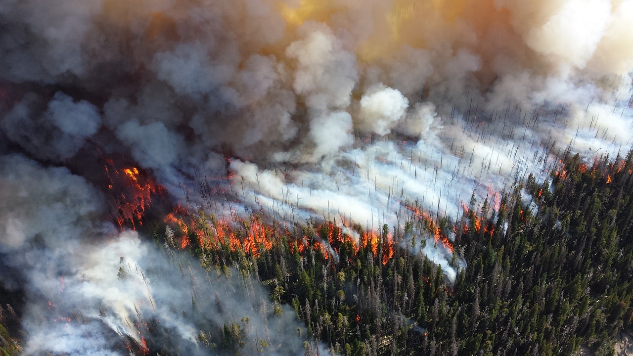
As we’ve written in the past about Carr Fire, the 6th most destructive fire in California’s history at the time, drones have already proved their helpfulness in aerial damage assessments, mapping, documentation of affected areas, and improving emergency teams’ situational awareness in real-time. However, as Surakitbanharn and Crutsinger wrote in the white paper, “drone imagery faces the same operational issues of other media”, which they separate in three topics: image collection, processing, and usage.
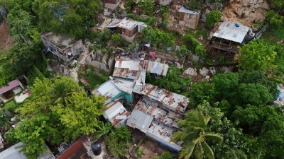
To address these issues, the two chose the November 2018 Camp Fire in Butte County as a case study, which covered more than 153,000 acres, burned over 18k structures, around 14k homes, and resulted in 85 fatalities.
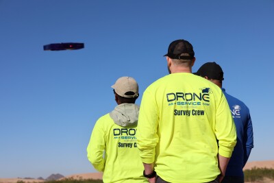
To map as much structural damage as possible in the devastated town of Paradise, CA, the emergency management teams were granted an exemption to fly drones in the FAA temporary flight restriction (TFR) area surrounding the town, which allowed drones to fly 300 feet above ground level, but not beyond visual line of sight. Up to sixteen teams, each consisting of a pilot and visual spotter, collected 70,732 photos totaling 477 gigabytes within two days. Similar to the Carr Fire’s Aerial View map, the collected data from over 500 flights was stitched together resulting in a map with 136 360-degree panoramas and 52 georeferenced video locations.
In order to reduce the total amount of flights, Surakitbanharn and Crutsinger suggest pilots should fly drones at higher altitudes to capture more information since it provides a larger field of view. Also, the lack of high-speed internet in a certain location can hinder on-site data processing but, as pointed out in the white paper, “a development trend in the commercial drone industry is toward more rapid processing and real-time processing solutions, which may solve computational issues in the future”. Additionally, the authors suggest that emergency responders, technical personnel, regulators, and the public should discuss privacy and regulation concerns to reach an agreement as to if the collected data should be made private or public. These are some of the technical and organizational actions mentioned in the white paper to reduce operational barriers of drone deployment in future emergency management scenarios.
While drones can improve service delivery, cost-effectiveness, security and most importantly safety during emergencies, there’s more work to do in terms of “research into potential use cases and capturing the benefits” to take full advantage of what drones can offer.


Comments