At Commercial UAV Expo Europe 2018, the Product Preview sessions opened the event to provide attendees with a look at a variety of hardware and software solutions which will be further showcased on the exhibit floor. A few thoughts and pictures about the latest product launches and innovations from the companies that presented are below.
Unifly is a software company that has designed a platform designed to allow the safe integration of drones into the airspace. They briefly explained many of the capabilities of their
Launchpad product, which can enable authorization and request approvals in the palm of a user’s hand. They explained the importance of what it means to use dynamic maps and provide tracking that shows manned and unmanned aviation in one display. Their 38,000 registered users and 200 + flights per day provide further context around how this solution is making a difference across Europe.
Beijing TT Aviation Technology explained how they’ve been able to make such an impact for operators across China, and how their
training programs have opened up opportunities in numerous industries. They’ve set up the first APOA drone training institution in China, and are responsible for the test missions of various drone training institutions in North China.
Trimble is a name and company that should be familiar to many, but not as many are overly familiar with their RTX Service. Briefly, their
RTX subscription service provides users with real time, cm level positioning via satellite or Internet. There’s no base station required with Trimble RTX correction services, tmeaning users don’t need to worry about losing radio signal connectivity.
Drone Rescue Systems used the incident on the slopes where a falling drone
missed a skier by inches to illustrate the kind of safety stakes that exist in the industry. Their
DRS-10 - Parachute Safety Solution can be triggered in milliseconds, while the additional payload from the system is essentially a non-factor. Their vision is to allow operators across industries to be able to work as safe and independently as possible.
Ewatt Aerospace has been making drones for the past eight years, and they’ve just opened up a new office in Switzerland. They have a
number of products that are currently available, although their focus going forward is on drones that have VTOL capabilities. Their new
EWZ-H6 Hybrid system is a great illustration of how the company wants to “create possibilities” for users across industries.
Sensefly is another company that should be familiar to many, but their presentation summed up how their technology is making a difference in industries that range from agriculture to construction to mining. Their focus on making drones easy to use has helped get the hardware into the hands of that many more people, and then what it means for those same professionals to use software solutions like
Pix4D to create professional orthomosaics, point clouds and models purely from images.
Yellowscan discussed their new
Surveyor Ultra and
Vx-15 / Vx20, both of which have been designed to enable more productivity for users. The company is in the midst of the first Yellowscan Demo tour where attendees can get a closer look at these tools in action, and one stop took place before the product preview. To see where they’re off to next, visit their
Demo Tour page.
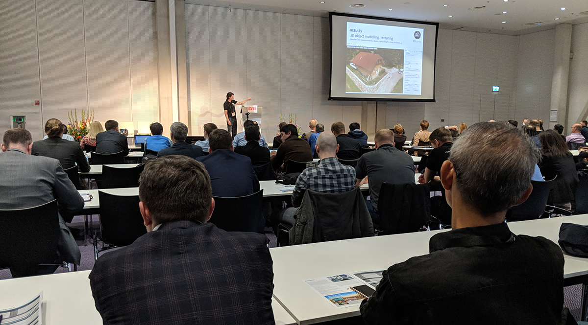
3D Survey allows users to generate survey grade results from photogrammetry, but their efforts to utilize and integrate any type of data to create these results helps set them apart. Their software is designed to work with any digital camera, and allow users to get accurate end results in a fast and elegant manner.
SimActive is another company that should be familiar to many, and we’ve explored
what kind of a difference using high-end drone software can create for surveyors. The software’s capability to generate results in the field and process virtually an unlimited number of pictures help to set it apart, but simplicity of the system and one-click solutions provides the real differentiator.
Carlson Software specializes in CAD design software, field data collection, and machine control products for surveyors in a variety of industries, and their new Photo Capture product allows users to capture photos at unprecedented speed. There is no limit on the data sets, so the software is always working. The software is already making a major difference in the surveying, mining, construction, hydrology industries.
We’ve taken a close look at products like the
miniVUX-1UAV and
RiCOPTER-M from RIEGL, but attendees at their product preview got a much better sense at the variety of solutions
RIEGL has that are making a difference in workflows across the world. These products are being used in a variety of applications, which range from power line surveying to open pit mining to infrastructure mapping to agriculture & forestry and archeology & cultural heritage.
Blue Marble is an innovative mapping software company based in New England, that has been dedicated to coming up with creative solutions for complex geospatial challenges ever since it was founded. Their new
Pixels to Points Tool allows anyone collecting aerial images with embedded geotags, such as drone or UAV operators, to create a high-density point cloud, similar to LiDAR data. This point cloud can then be processed to identify and reclassify ground, buildings, and other common classification types and to filter and edit the data as required.


.jpg.small.400x400.jpg)


Comments