With Qatar’s 2022 FIFA World Cup and its National Vision 2030 plan getting closer, the country is already working on a project of a massive scale: contract 2 of the Orbital Highway in the city of Doha, a 14-lane road with 5 vehicle lanes and 2 dedicated truck lanes going in each direction.
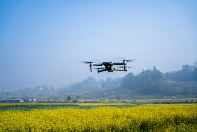
Arcadis, a global engineering consultancy in Qatar and lead designer of the Orbital, is helping its client, Qatari Diar Vinci Construction (QDVC), by providing volumetric calculations for the earthwork spread throughout the entire roadway. To achieve this, Arcadis is using drones together with 3DR’s cloud-based software Site Scan, a high-resolution 20.1MP Sony R10C and Autodesk Integration.After performing a comparison between using the traditional tools or Arcadis drones’ solution, QDVC chose the latter as the results were outstanding. While a traditional survey took 3 hours and captured 197 data points, the drone survey took 20 minutes and captured 1,539,964 points without the use of Site Scan’s ground control points feature, which would have provided even more accurate results.To learn a bit more about Arcadis’ drone operations and what the company’s plans for the future are, we connected with Innovation and BIM Manager Paul Kawuma. Commercial UAV News: With how the drone industry is growing, it’s become clear how superior drones are, compared to the traditional ways used in many verticals. Arcadis’ use case strengthens that point, as it clearly shows how drones helped speed up the whole process. What’s your opinion on this matter? Do you think drones are the future for construction businesses, and more?Paul Kawuma: Clients are increasingly looking for innovative solutions that can help them to deliver their construction projects in a safer, quicker, and more cost-effective way than ever before. Embracing technology and new ways of working is the only way to meet this challenge. The use of drones has huge potential to disrupt some of the more traditional construction processes and are becoming increasingly vital to the industry. Government institutions around the world are aware of their benefits and as a result have enabled legislation that allows their regulated use. The Orbital project is a further reminder of how precision and efficiencies in volume calculations operations can be leveraged using drones. Furthermore, in the coming years, the advancements made in battery technologies and machine learning will further proliferate the use of drones.Can you give us an idea of what kind of projects Arcadis participated in using drones, and how they gave you an advantage?Arcadis was the first consultancy firm in Qatar to secure the authorization required to use UAV technology for engineering applications. We’ve invested time and resources to develop alliances with the right technology providers, and to train up several of our colleagues to become internationally licensed pilots. We’ve used drone technology on several client projects in Qatar, initially testing and developing workflows on mega-reservoirs across the country and then commercially on the new Orbital Highway. We are currently mobilizing our teams for other infrastructure and building related developments. We’ve found our drones can help address a wide range of challenges that clients typically face on large-scale construction projects. These include the following:- The quality of the scans and aerial imagery that drones can provide is absolutely first-class. This helps to reduce the risk of incorrect decisions being made on a project;
- Using a drone to carry out standard survey and inspection activities is a much more cost-efficient approach as it fast, accurate and overcomes site access issues. As such the use of a drone significantly reduces costs;
- UAV technology can help to further support the drive towards zero incidents by taking away some of the risks associated with construction activities. As an example, the use of drones removes the need for people to work at heights when inspecting assets like bridges, which are often hard to access


Comments