


Focused on capturing data to drive businesses, Drone Harmony partnered with Phase One, a digital imaging sensors, airborne systems, and aerial cameras provider, to allow one-flight missions of complex vertical inspection assets and improve the efficiency and data quality over manual flights. With Drone Harmony's automated mission planning tool and Phase One's 100MP sensor combination, David Adjiashvili, co-founder oft Drone Harmony, claims the company now meets "a strong customer demand to automatize inspection and high-resolution mapping jobs, especially for high-risk mission in urban or industrial environments."
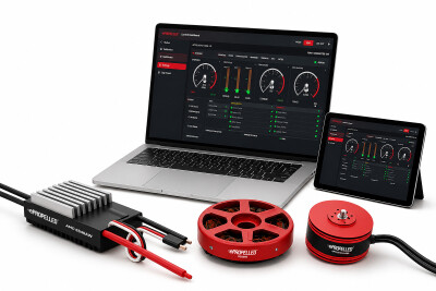
Drone Harmony's software solutions are ready for enterprise-grade data acquisition, designed for industrial, linear infrastructure, and cell tower inspections, as well as terrain mapping and surveying. The company's cloud-based data capture platform allows users to automatically plan and operate drone data acquisition workflows, reducing risks, making it possible to train pilots in less than 30 minutes, and saving costs by capturing the right amount of data in every flight.
Also, in April 2022, the company launched a new mobile application for iOS and Android to improve user experience, provide more features, and create a simpler setup, among other improvements. The mobile application synchronizes with the Drone Harmony cloud platform so users can easily load sites and execute missions. On top of the mobile application, the company also developed a web application for users to plan data capture workflows from any web browser.
Since its foundation in 2016, Drone Harmony's cloud platform has been used in many different ways. For example, in Alaska, the Toolik Field Station GIS and Remote Sensing Department uses the platform to plan and execute UAS flights to support ecological research, such as monitoring and measuring changes in plant phenology across different tundra communities and mapping the progression of snow melt across landscapes.
In Japan, Peter Majtan, CTO and Co-Founder at DERYL Group K.K, NHK, SVO, MLIT and the Kyoto University create high-resolution 3D models of the Sakurajima, one of the world's most active volcanoes, for scientists to run various simulations for disaster prevention and response. Finally, Bryn Le Rue, a Florida Fire Fighter, Public Safety Drone Instructor and Drone Search and Rescue Volunteer, uses the company's inspection software for search and rescue missions in large areas of land, water and complex industrial sites that would be too complex and difficult on foot.
Uniquely designed for UAVs, Phase One's iXM cameras are fast, highly responsive, robust, and easily integrate with aerial photography drones for diverse inspection and mapping missions. The P3 payload, Phase One's only drone payload, is a plug-and-play, customizable solution that takes advantage of various RSM lenses to ensure the best image quality and performance for the mission at hand. Additionally, the P3 uses the company's Smart Focus, a purpose-built feature for inspecting complex high-volume industrial assets such as wind turbines or power towers, that addresses key challenges where contrast-based focus fails to deliver robust and consistent results.
"Phase One is well known in the UAV industry for our uncompromised image quality, submillimeter details and ultra-high resolution. The Drone Harmony integration ensures that our customers can get consistent results through flight path automatization, thereby creating a critical enabler for scaling their UAV operations and increasing productivity," said Michael Messersmith, Portfolio Director - Drones/UAVs at Phase One.
Although Drone Harmony's platform only supports DJI's drones, various Zenmuse cameras depending on the chosen drone, and Phase One's sensor, the company is already in discussions with more manufacturers and will announce new integrations with its platform in the near future.


Comments