Subscribe
The information you submit will be stored and used to communicate with you about your interest in Commercial UAV News. To understand more about how we use and store information, please refer to our privacy policy.

November 26, 2016
Commercial UAV Expo 2016 - Making Sense of Your Drone Data with Pix4D
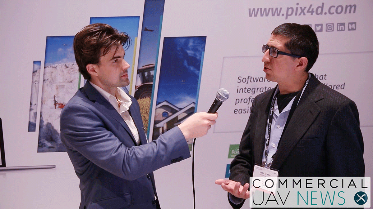
Pix4D is an image processing software that various processionals rely on to help make sense of the data captured by their drone. In the construction industry, professionals can use georeferenced orthophotos and 3D data from Pix4D software to monitor sites as they change over time. Surveyors can use the software to put together accurate results with intuitive measurements and project analysis. In agriculture, growers can convert multispectral and RGB images into accurate index maps, like NDVI, as well as orthomosaics of their fields. Of course, those are just a few examples of how the software can make a difference in various industries and markets.At the Commercial UAV Expo, we were able to talk with Paul Spaur from Pix4D to get more insight around how professionals are actually using the tool. He talks through details about the software being platform agnostic, what kind of cameras they work with, what it means to put together actionable information, what the 4th dimension really is and plenty more.

Want more stories like this? Subscribe today!
.jpg.small.400x400.jpg)

Jeremiah Karpowicz is the former Editorial Director of Commercial UAV News. He has spent over a decade cultivating communities of all different types, both in-person and online. He has created articles, videos, newsletters, ebooks and plenty more for these communities as a contributor and editor. He has also shaped and defined various conference programs. Today, he is focused on defining what it means to take the engagement that happens in both the physical and digital worlds to the next level. You can get in touch with him on LinkedIn.
Featured Report
Featured Authors More Authors ›

Featured Authors


Newsletter Signup
Our Events


Our Events
September 1-3, 2026 • Las Vegas
February 23-25, 2027 • Salt Lake City
Comments