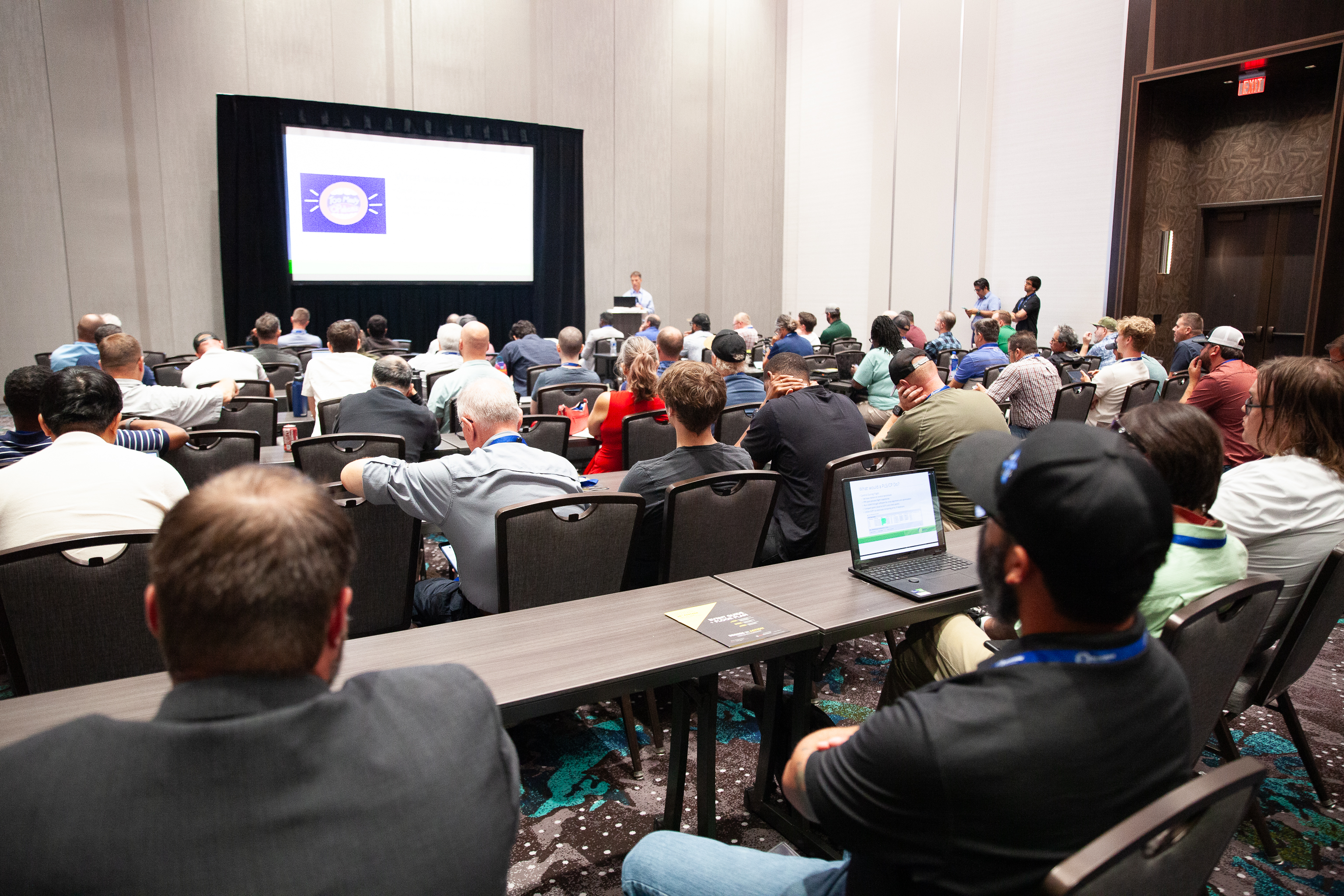
Commercial UAV Expo 2025 will offer nine in-depth, hands-on training workshops that cater to a variety of skills and expertise levels.
Presented by organizations that are the leaders in their trades, workshops offer exclusive insight into specific technologies, workflows tailored to the technologies, and expert advice from seasoned employees in each field. Unlike a traditional conference session, workshops span from 5-9 hours of training, that’s both hands on training with the product in a classroom setting, or out in the field.
Whether you are preparing for a certification exam or simply want to become the in-house expert on a specific software or skill, workshops are an effective method to achieve your goals.
What Specific Skills will the Workshops Cover?
The workshop line up at Commercial UAV Expo 2025 will have an emphasis on surveying and mapping skills and tools, drone pilot training, and mobile mapping solutions.
UAS Mapping Skills
Photogrammetric Mapping with UAS, hosted by ASPRS is taught with a software-agnostic approach. This workshop will teach attendees the basic steps in creating controlled map products from drone-captured data with photogrammetric sensors.
Lidar Mapping with UAS, hosted by ASPRS is a similar session to the aforementioned ASPRS workshop, but focuses on lidar sensor captured data.
Capturing Reality in 3D: LiDAR Tools and Techniques That Deliver, hosted by GeoCue will focus on the complete mapping workflow with GeoCue’s ecosystem of TrueView LiDAR hardware and their LP360 software. This session will serve as a step-by-step guide to mobile mapping, regardless of what vehicle your sensor is attached to.
A Comprehensive, Practical Guide to Transforming UAVs into Real-World Mapping and Surveying Solutions, hosted by Trimble Applanix is designed with UAV LiDAR and camera users in mind such as land surveyors, managers, engineers, and mapping professionals. This session covers technical, operational, and business aspects—equipping professionals with the knowledge to interpret and integrate multi-sensor mapping data for accurate, high-quality outputs.
Drone Pilot Skills
Cutting Edge Industry Insights: Essentials for Every Drone Pilot, hosted by Pilot Institute will feature an exclusive Q&A session with Pilot Institute on topics ranging from information about waivers, education, business development, and the latest advances in the industry.
Night UAV Flight Workshop (Theory + Field), hosted by Sundance Media Group is designed for pilots who are looking to elevate their skills into the night skies. Night flight poses a set of new challenges and risks. This deep-dive training will start with a classroom session, then attendees will take their skills outside into the field for night flight training.
Surveying Skills
From Drone Data to Survey Deliverable, hosted by Virtual Surveyor will include instructions on how to create deliverable models based on drone-captured survey data.
Pix4D For Construction, Inspection, Survey, and Cinema, hosted by Sundance Media Group and Pix4D is the best workshop for those who are looking to learn how to use Pix4D software for large imagery capture jobs.
Digital Twin Production Skills
End-to-End Workflow for Digital Twin Creation: Mission Planning, Data Capture, and Model Processing, hosted by DJI will walk attendees through the full lifecycle of creating a digital twin with DJI’s ecosystem. This workshop will equip you with key considerations when flying to produce the best digital twin postflight.
Whether you're advancing your mapping capabilities, preparing for pilot operations, or exploring the full potential of digital twin creation, these immersive sessions are designed to help professionals at all levels elevate their expertise and stay ahead in an evolving industry. For a full list of workshop details, visit our workshop page.


Comments