September 27, 2017
New at Intergeo: the RiCOPTER-M from RIEGL
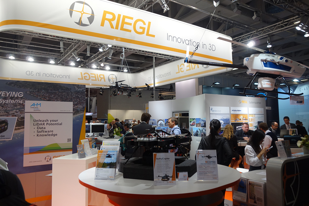
Lots of news coming out of Intergeo from RIEGL, and we’ve already talked about the miniVUX-1DL lidar, which could redefine the approach to corridor mapping. Just as noteworthy is the RiCOPTER-M, which is a new multi-purpose octocopter designed to be utilized in highly sensitive areas and situations of limited access.
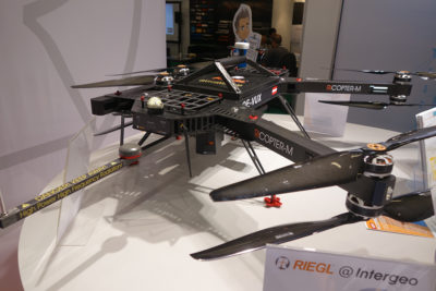
The RiCOPTER-M at Intergeo 2017.
With a payload capacity of 10kg, this multi-sensor carrying platform is ready for the integration of a variety of interchangeable configurations, including laser scanners combined with photogrammetric cameras, thermal-infrared cameras, hyper-spectral camera, radiation sensors and plenty more. Other key features include a maximum operating altitude AMSL (Above Mean Sea Level) of up to 10,000 feet as well as being equipped with special aviation safety features and ADS-B/Mode-S transponder.
The versatility and customizability of the RiCOPTER-M is a key feature of the product, which is essential when it comes to gathering the type of information needed by professionals in surveying and monitoring, photogrammetry and laser scanning as well as topography and bathymetry. We’ve talked about the
importance of establishing an acceptable level of accuracy that needs to be collected on a given project, and the RiCOPTER-M is a tool that can be used when accuracy is critical. It’s the reason organizations like the Army Corps of Engineers are using it, as they need to be able to gather information that is incredibly accurate, and “good enough” simply is not good enough.
The impact RIEGL technology can have on the approach and bottom line for professionals that are focused on projects like power line inspections have been
laid out in detail. The RiCOPTER-M should provide surveying & mapping professionals with a similarly powerful tool that they'll be able to utilize to positively impact how safely and efficiently information is gathered for a variety of projects.
To learn more about the RiCOPTER-M,
click here.


Comments