

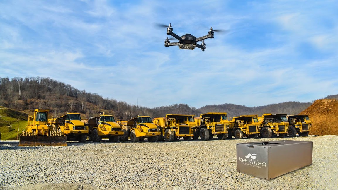
Identified Technologies, a company focused on increasing project visibility and team productivity with drones for different industries, has upgraded its Boomerang UAV solution to significantly reduce time spent on data gathering.
In the past, we have discussed with Identified Technologies CEO Dick Zhang how the company’s software, SiteIQ, together with its Boomerang drone, is an important and reliable tool for the construction industry, as it helps reduce costs by gathering accurate survey data faster and catching mistakes sooner. We have also covered the release of its Change Detection Technology (CDT) tool, which allows users to make a determination about the progress that has or has not been made on a job site with a single glance.
Last month, Identified Technologies integrated Post-Processing Kinematic (PPK) with the SiteIQ tracking software, to help clients in the construction, energy, and mining industries. PPK works similarly to RTK, but eliminates the need for radio lock, and provides a fast gathering of accurate data at the push of a button. A recent post explores the different options to achieve what's necessary for a project with drone mapping.
The new feature also reduces the need for laying of Ground Control Points (GCP’s), which saves companies thousands of man hours while increasing the ease, accuracy, and profitability of using a commercial drone solution. Dustin Drost, the Survey Party Chief at Keystone Consultants, a Pittsburgh-based Engineering and Consulting firm, says that removing the need to lay ground control points saves them about 75% of the time spent on data gathering with a drone.
For applications like measuring stockpiles, PPK even eliminates the need for GCPs.
“We are thrilled to be offering this groundbreaking technology to our clients,” Zhang said. “In addition to the 70-90% cost savings that drone mapping can provide, we are now able to help companies get that data faster, through easier and more intuitive process.”

.jpg.small.400x400.jpg)


Comments