

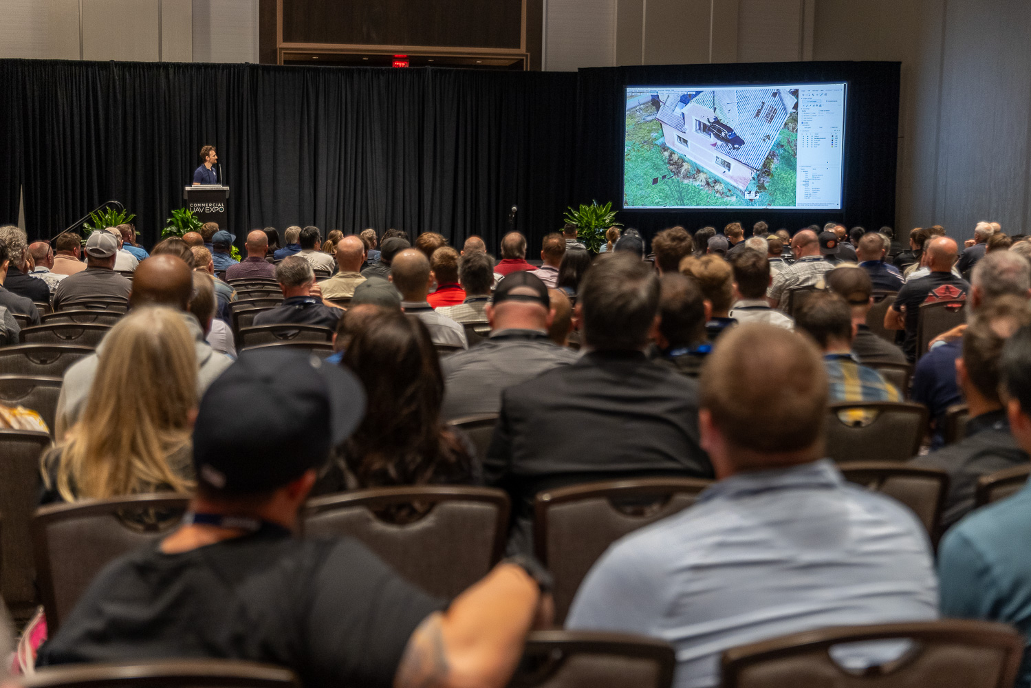
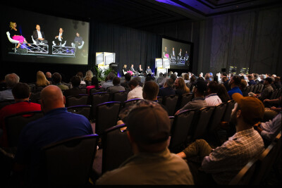
Earlier this month, for the ninth year in a row, I made the pilgrimage to Las Vegas for Commercial UAV Expo. In my opinion, this is the most significant uncrewed aviation event in the world for industrial development and the practical application of drones.
This year, I moderated two panels: one focused on operational safety and pilot awareness, and the other on the exciting field of drone-in-a-box technology. I also participated as a facilitator in the roundtable discussion about mapping and land surveying best practices. In addition to all of that, I was able to spend a lot of time talking to old friends and new contacts, and what follows is my personal assessment of this year’s event.
Part 108
There is no doubt in my mind that this year’s expo was framed as the largest gathering of industry leaders after the publication by the FAA of the Notice of Proposed Rulemaking (NPRM) for Part 108, with the event taking place exactly 30 days before the deadline for public comments.
This year, the corridors were abuzz with conversations about the new proposed rule, different aspects that make it radically different from the current Part 107, and the implications these changes will have on the industry.
Comments like “It will harm the little guy” were heard during the mapping and surveying best practices roundtable, and there was a general feeling amongst the attendees that the new regulation had been heavily influenced by large drone delivery companies that are looking to expand their current operations.
The changes in the role of the Pilot-in-Command (PIC) in Part 108 were also a topic of conversation. The NPRM, published on August 6, clearly aims at switching the responsibility for each flight from the PIC to the corporation that employs them. This is a major tectonic shift in unmanned aviation history and one that is obviously guided by the fact that these flying machines behave more like computers than traditional aircraft. Automation will be key, and artificial intelligence and machine learning (AI/ML) will play a substantial role in the deployment of this technology, thus reducing the need for human intervention.
The new law is trying to translate this reality in terms of business requirements by mandating that companies, not individuals, carry the heavy burden of responsibility for aerial operations. This is a double-edged sword, as it will improve overall safety by mandating safety management systems (SMS) and will probably contribute to creating a culture of accountability in the organizations. On the other hand, it is also a reality that pilots will be detached from the traditional role. I might be biased by the fact that I come from a traditional aviation background, so I see the figure of PIC as the pinnacle of responsibility for every flight. However, I have to accept that the potential world of Part 108, where thousands of drones are crisscrossing each other in the National Airspace System (NAS), is unrealistic if humans are in control.
.jpg.small.400x400.jpg)
Radar – Detect and Avoid or Alert (DAA)
There were conversations amongst the attendees that automation and, by default, everything to do with detect and avoid (DAA) would be a deciding factor in the realistic implementation of Part 108. There were a lot of new developments in this front, as the future of radar technology played a central role for drone manufacturers dissatisfied with the current DAA technology.
One company in particular, Accipiter Radar, presented a smart surveillance designed for Counter-UAS (CUAS) but also applicable for detect-and-alert (DAA) missions.
The system can detect uncooperative targets (e.g., rogue drones), it easily integrates with digital twins, business intelligence, and SMS’s, as well as supporting critical infrastructure protection and customizable intelligence for specific operational needs, including BVLOS safety and airspace intrusion alerts.
Realistic Flight Time vs. Payload
One area of particular interest to me was longer flying times with heavier payloads. This year, featured the return of Parallel Flight Technologies (PFT) to the event, and they brought to their booth in the Exhibit Hall their Firefly, a four-rotor large aircraft capable of flying for 1.4 hours with a payload of 100 lbs.
Finally, a U.S.-based company is addressing the critical question of hybrid powerplants in a manner that is not only scalable but realistic to manufacture and deploy in a short period of time, thus allowing its use for assisting firefighters in remote areas, wildfires, and many other uses.
For years, hybrids (using small internal combustion engines to power generators) have been looked down on by an industry obsessed with electric motors, but the reality of the battery industry today is that nobody is coming to the rescue. There is no such thing as the battery cavalry, and the drone industry will only be a fraction of the business that electric cars will represent. Therefore, waiting for battery manufacturers to come up with a solution is foolish. PFT understood this reality years ago, and now they are ahead of the competition with a feasible aircraft with realistic flying characteristics.
Business Models vs. Features and Functionality
This year, we heard a lot of talk about realistic business models that would take advantage of the new Part 108 regulation. Over the past nine years, in my opinion, the emphasis has been on the aircraft and their surrounding technology, such as uncrewed traffic management (UTM) and DAA. This year, the main question was: Now what?
For years, the industry has been pressing the FAA to move forward with BVLOS flights. Now that the proposal is on the table, the business models that have been modestly adequate for the Part 107 reality must be updated to allow for longer missions and the reality of the new law, including shifting responsibilities from pilot to corporation, a performance-based certification process, and increased danger of liabilities as drones begin to operate in more crowded areas. Attendees seemed keenly aware that the industry is shifting from experimental to mainstream, and the excitement (and worry) was palpable in every conversation.
Fleet Management
Finally, the issue of drone fleet management was a major theme at this year's event, with several standout announcements and platforms tailored for enterprise, public safety, and BVLOS operations. Why? Simply because in the future, the deployment of successful drone operations will be based on the ability of fleets to operate almost entirely autonomously, and for that, we are going to need a lot of AI/ML and reliable and proven systems that can manage hundreds of simultaneous flights with little human intervention, if any.
Three companies brought exciting developments to the conference, beginning with AirData UAV, which claimed to have the world’s largest online drone fleet data management and live streaming service. According to their literature, it can support over 350,000 users and process 25,000+ flights daily.
Its capabilities include safety analytics and crash prevention, maintenance tracking, LAANC approvals for airspace access, and real-time live streaming for mission oversight. It is currently adopted by public safety agencies, utilities, and enterprise operators for compliance and to increase operational efficiency - music to my ears!
The second company that caught my attention in this field was Censys Technologies, offering end-to-end BVLOS intelligence. Their aircraft, the Sentaero 6, is a fixed-wing drone paired with CensWise, an AI/ML-powered data platform with functionality that includes automation of data capture, processing, and insight generation, especially designed for BVLOS missions in sectors like environmental monitoring and infrastructure inspection. Their overall solution offers centralized control and analytics for distributed drone operations.
Finally, Blue Marble Geographics, a company that we normally associate with geographic information systems (GIS) and mapping, came up with an innovative solution in which they offer geospatial workflow integration through their product Global Mapper Pro and Geographic Calculator. These enable drone operators to integrate flight data into GIS workflows for mapping, surveying, and compliance.
These three platforms reflect a broader shift toward data-driven fleet oversight, especially as BVLOS and regulatory compliance become more demanding.
I believe we attended the last Commercial UAV Expo for which technology was the driving force, and moving forward, we will see a more mature industry focusing on return on investment (ROI) and making a reality the dream of the past 12 years. I look forward to Commercial UAV Expo 2026!


Comments