

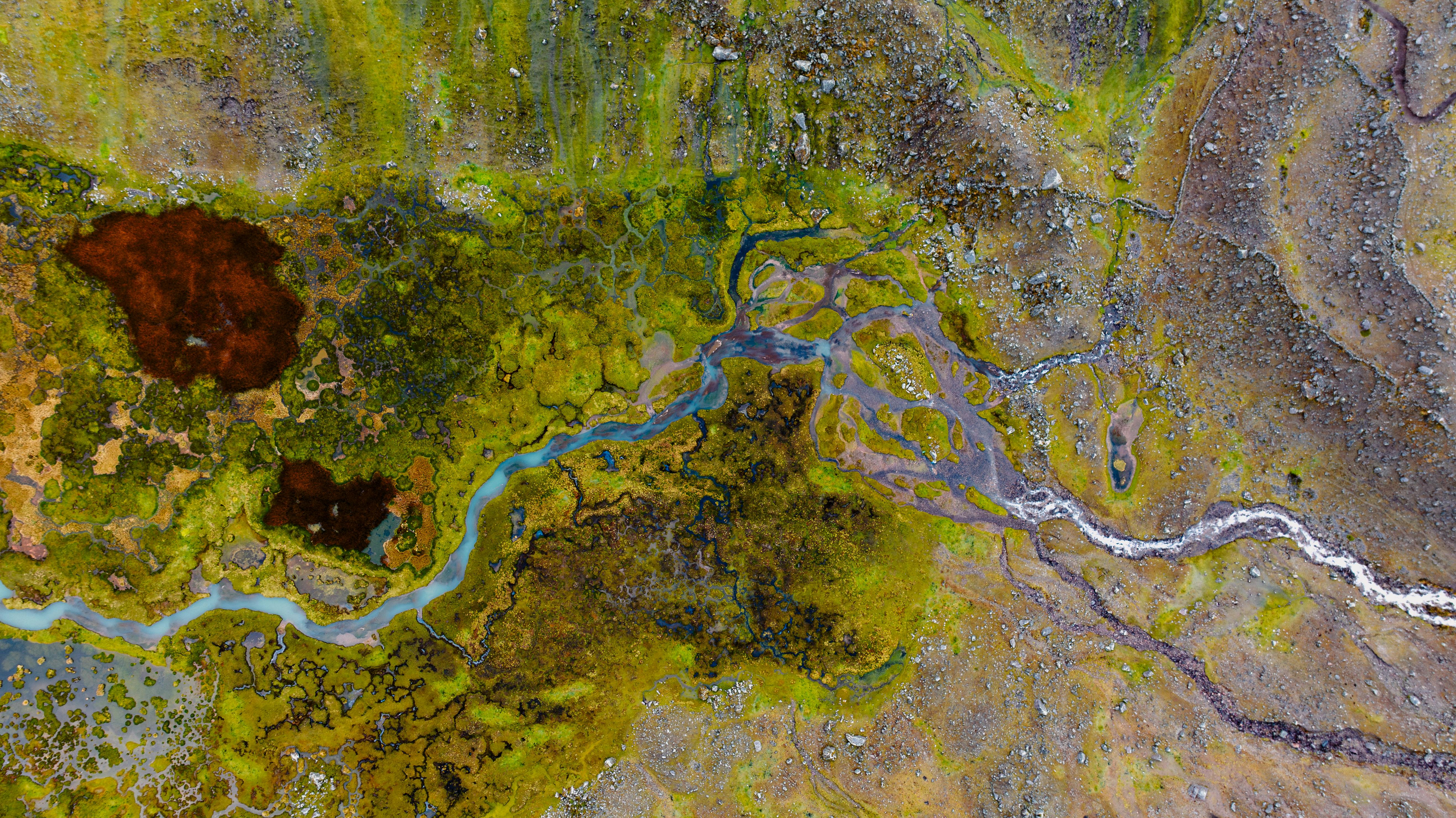
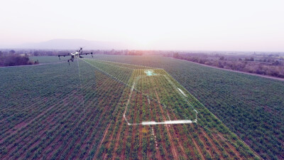
In today’s world, conducting a drone survey is far more complex than simply flying a drone and capturing images. Rapid advances in sensors like lidar and multispectral cameras, growing client demands for fast and accurate deliverables, and the arrival of automation are all transforming the field. At the same time, evolving federal and state regulations prove to be a hurdle to surveying efficiently.
Recognizing that there are multiple ways to produce high-quality surveys, Commercial UAV Expo will feature a roundtable session, Drone Surveying Best Practices, to bring together surveyors of all levels of experience to connect and discuss the challenges and successes. Unlike other conference sessions, the attendees are the ones driving the conversation. This session is an opportunity to meet fellow surveyors to learn from one another, with guidance from discussions leaders who have decades of experience.
Seasoned drone surveyors Larry Donelson, Co-Founder and CEO at InTerra Inc, Juan Plaza, CEO of Plaza Aerospace, and Mohamed Mostafa Lead Technical Authority, Mobile Mapping at Trimble Applanix will bring their experience to the table, sharing what brought their companies success and how to tackle the obstacles surveyors face today.
Led by these experienced surveying professionals, attendees will have the opportunity to sit down with each other to dive into questions such as:
- How much accuracy is “good enough” for different industries?
Each table in the room will be dedicated to a specific discussion topic. Attendees will share their insights for 20 minutes, then will have the opportunity to move to another table to talk about a different topic and meet new faces. After about three rotations, the moderators will gather everyone for a larger group discussion to share high-level takeaways from all the discussions.
”For industries like infrastructure, transportation, and construction, sub-centimeter accuracy isn’t a luxury—it’s becoming a necessity. The right combination of drone platforms, ground control solutions, and streamlined workflows can make this level of precision routine,” Donelson explained to CUAV News.
Updates to regulations are ongoing, with 2025 set to be a monumental year for the unmanned industry. “It is important for the industry to pay attention to the upcoming Part 108 NPRM (Notice of Proposed Rulemaking) and make sure we review it carefully and thoroughly, to make sure it contains provisions that will allow mapping of greater areas at lower costs,” stated Plaza.
Attendees can expect to leave with actionable strategies to increase accuracy without overspending, practical ways to integrate AI responsibly, and a clear path to navigating the changing regulatory landscape. The session is as much about listening as it is about contributing. Participants are encouraged to bring their own questions, experiences, and solutions to the discussion.
If you have a specific topic you would like to see discussed in this session, please submit it to be considered here.


Comments