

In May, the National Oceanic and Atmospheric Administration (NOAA) and Verizon Frontline signed a three-year Cooperative Research and Development Agreement. Through this new partnership, NOAA will identify storm-damaged areas that need assessment, and the Verizon Frontline Crisis Response Team will provide uncrewed aircraft systems, sensors, and personnel to collect aerial imagery.
 It's just the latest example of how public agencies, private companies, and others are using uncrewed technologies and related systems to aid in data collection and emergency response efforts around tornadoes, hurricanes, or other disasters.
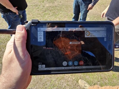
According to Chris Sanders, part of the Verizon Frontline Crisis Response Team, “Agencies like NOAA need high-resolution imagery to help emergency responders quickly assess damage and prioritize search and rescue efforts. It’s important to get imagery quickly to the National Severe Storms Laboratory for further research and model improvement to predict tornado paths. Our team has the ability to provide mapping and data, and we can help them figure out what kind of data they need.”
Through the partnerships, Verizon and NOAA will work to find better ways to perform emergency response operations, assess damage assessment, and predict future events. The collaboration will also tap into the deep experience and expertise these entities have in the fields of inspection, data collection, and emergency management.
“We find ourselves at a lot of crisis situations, whether it be tornadoes, hurricanes, wildfires, Amber Alerts, or search and rescues. And, if it's a weather-related event, NOAA is usually there as well,” Sanders told Commercial UAV News. “We have run into each other quite a bit.”
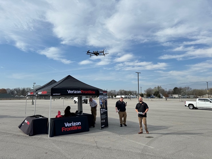
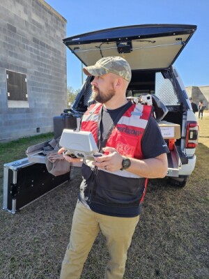
Now, in concert with NOAA, the Verizon Frontline Crisis Response Team will focus on restoring tactical networks for public safety agencies during crises while also gathering data for real-time response and future use. To do this work, the team will call on its fleet of drones, sophisticated cameras and sensors, and its group of seven pilots, who have various backgrounds and skills, including inspections and telecommunications.
“Our Crisis Response Team has 25 members from diverse backgrounds with hundreds of years of public safety and military experience,” Sanders reported. These pilots operate both fixed wing and rotary wing UAVs, which enables them to cover large areas quickly and collect different types of data for mapping.
Sanders, who created the UAS program for the Verizon Frontline Crisis Response Team, leads his team by drawing on his many years of professional and educational experience. “Prior to me coming to Verizon, I spent 10 years as a tactical air traffic controller in the Army. And after getting out of the military, I got degrees in unmanned systems and robotics and then a master’s degree in GIS,” he said. “I also have a deep background in UAS and photogrammetry, along with LIDAR and mapping.”
 As the Verizon-NOAA partnership ramps up, Sanders and his colleagues will be drawing on their experience and skills to address any and all emergency situations. while also looking for ways to refine and improve operations.
“Our team focuses on creating and maintaining networks in a tactical and crisis situation for public safety first responders—that is our daily mission,” Sander said. “We can also help with situational awareness and search and rescue. We also have people who can perform more technical use cases, such as an infrastructure inspection.”
Looking ahead, Sanders sees opportunities to train his fellow team members in new skills and to find ways to enhance and improve their work. “We have pilots who want to do more, so we enroll them in our advanced training program and get them schooled up on things like mapping and infrastructure inspection,” he said.
Also, he stated, “We’re working with NOAA to improve the processes. We’re refining what the requirements are and what the logistics looks like. We’re excited to start doing missions for them.”


Comments