


In the early 80s, I flew a WWII B-25 Mitchell bomber as a navigator for aerial photography. It was a great platform for aerial photogrammetry, but it was in its last useful year, so I soon found myself in a brand-new Lear Jet 25C and eventually in light twins, such as the Cessna 310. When I graduated as a Geodetic Engineer in 1984, civilian cartographic satellites were in their infancy and most maps were developed using manned aircraft and awfully expensive cameras with convoluted vacuum technologies.
My point with all of this history is that I want to make sure you know that my involvement with the mapping industry has seen it all, or almost all.
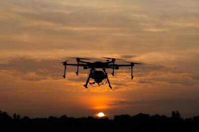
In 2015 when I joined Trimble as Sales Manager of geospatial products for Latin America, I discovered unmanned platforms, more specifically the UX5, fixed-wing drone and my professional life changed forever, again.
But making maps is not all about the flying, it’s also about stereoplotting and converting the proverbial stereoscopic pairs into contour lines on mylar sheets, or at least it used to be. This is the other revolution that was happening in parallel: as manned aircraft became unmanned aerial vehicles (UAVs), heavy equipment became software applications, and 3D models stored on hard disks replaced paper maps.
To put all these changes in terms of dollars and cents, the differences between mapping in 1980 and 2021 is not conveyed in terms of simple savings, it is expressed in terms of orders of magnitude. One aircraft, one camera, and one simple stereoplotter cost in excess of one million Dollars, and that’s not taking into account the fixed costs of personnel and infrastructure required to house all this equipment. Today, a land surveyor can purchase a mapping drone for less than $15,000 (equipped with a digital camera), a copy of mapping software for less than $5,000, and obtain his/her own pilot license (Part 107) for a few hundred bucks.
Voila! Aerial cartography is not for the elite anymore!
The playing field has been leveled and even though we are all aware of the limitations in terms of acreage coverage, there are hundreds of applications that now can replace manned aircraft with UAVs. This is why the editors of xyHt in partnership with ConnectMii, have organized the “Democratization of Mapping” virtual event taking place on Thursday, January 14 at 11:45 AM EST.
I will have the honor of moderating the event and will do my best to present the pros and cons of making the transition from land surveying to aerial photogrammetry and introduce a couple of companies that have done the transition successfully. Registration is free and we encourage land surveyors thinking about jumping to aerial operations to attend and hear the good and the bad from experts who have done it.
You can get the full details for this event here.


Comments