
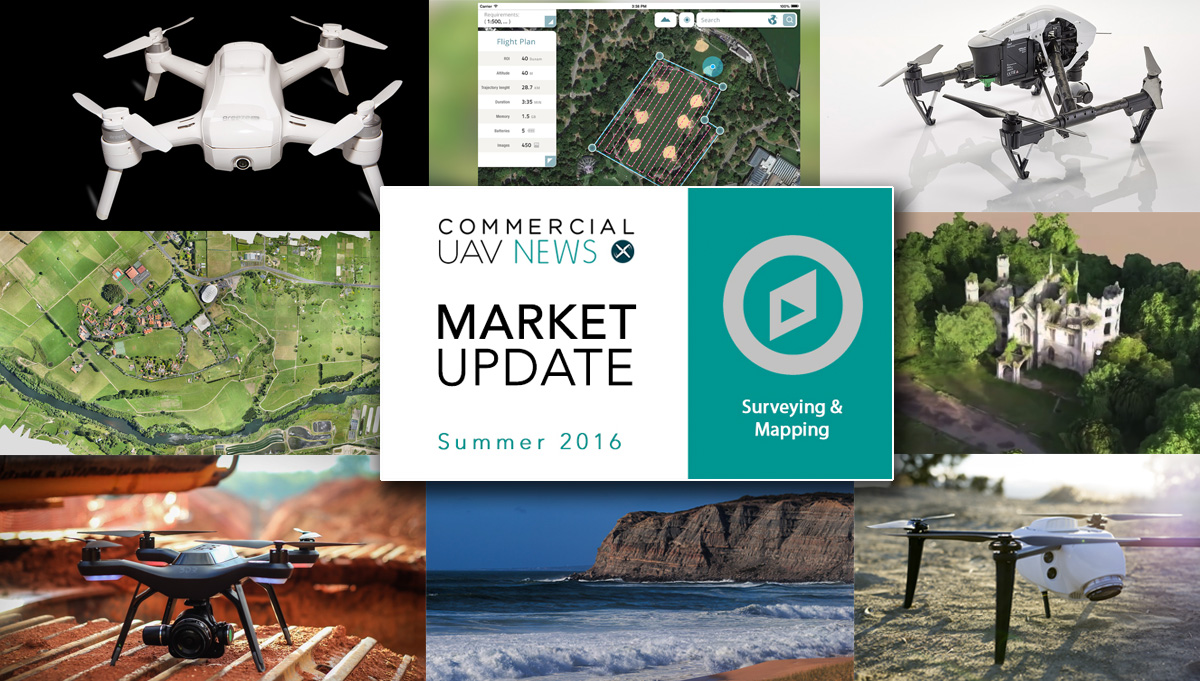

Surveying & Mapping
 Does a drone make you a surveyor?The explosion in the use of drones and the relative easiness in surveying areas from the air has led to what someone has already referred to as a technology allowing amateurs to try to be professionals. With the introduction of software that is presented as usable by anyone, and drones controllable with a smartphone, suddenly calling oneself a “surveyor” seems a fast and easy way to earn a living. But is it? And is the “survey” served to the client at a professional level?These are some of the questions raised by William Tompkinson in a recent article published in SPAR3D. In the article the author reflects about the situation and comments that we live in an age “where pretty much anyone can purchase a UAV platform, camera and software and then use them” and then poses even more questions originated by the fact that “projects can now be delivered by teams that have not had geospatial or survey training”. Follow the link to read the complete article.
  DroneDeploy users map 5 million acresAccording to DroneDeploy, a San Francisco-based provider of a cloud software platform for commercial drones, its users have mapped over 5 million acres across 130 countries, easily flying their drones to make interactive maps & models using the free DroneDeploy app. The information is present in the second Commercial Drone Industry Trends Report, based in DroneDeploy’s usage data. The report explains and explores how trends in the commercial drone industry are evolving.That impressive number – 5 million acres – is even more remarkable when you consider the that it's all coming from the clients of a single company. The numbers reflect broad adoption across the many industries that have discovered how drones can save time, improve safety and boost the bottom line. Follow the link to download the full report.
  Fast, easy and safe surveying, says DatumateDatumate, a market leader of automated "Field-to-Plan" solutions that save costly field and office time, announced a new tablet app for effortless drone flight planning and automated, high resolution photo-shooting. The DatuFly app saves up to 80% of field surveying time and eliminates follow-up site visits.According to the company, a “friendly, wizard type, user interface makes it super easy to select job type and the required outputs to achieve best results. Area of interest is instantly marked on the map, including complex polygons, and the drone is ready for launch. Flight and aerial photography, vertical or oblique, are entirely automatic and optimized per job type, such as topography, stockpiles, roads etc.”. All this can be constantly monitored on the tablet screen. Follow the link to read more about the system.
  One flight, two sets of dataDroneMate, from New Zealand, signed an agreement with Sentera that gives them access to Sentera’s proven end-to-end normalized difference vegetation index (NDVI) solutions including agriculture drones, precision sensors, and AgVault Software. Using Sentera's crop health solutions, DroneMate's customers can capture more images and cover more acres, in less time – increasing yields and ROI.What’s especially interesting is that the DJI drone gimbaled camera is not modified, meaning users can capture spectacular visual-band, near-infrared, and NDVI data simultaneously in a single flight. According to John Bampfylde, Marketing Director for DroneMate, ”it’s a brilliant sensor [single sensor] allied to the world’s most popular drone, making for a super-reliable, smart and easy-to-use survey system. The testing results have absolutely amazed us. It is a quantum shift in the market with regard to price and quality.”
  3D mapping an abandoned houseThe 3D mapping of an old abandoned house, the Cambusnethan Priory, is a good example of how drones open for a new vision of the world around us. A small group of explorers united under the name Abandoned Scotland regularly visit the abandoned and rarely seen places of Scotland. They discovered that a drone would allow them to access a new vision of the places they visited.Their first experience, at Cambusnethan Priory, shows how easy it has become to create a 3D representation of a building that is good enough for various uses and, apparently, a lot of fun to create. With a Phantom 3, data processing software and a lot of patience, the group achieved their goal. The whole process is described on their website, Abandoned Scotland, which you should visit to read the whole story.
  Drones to survey coastlinesScientists studying the evolution of coastal areas and the rate at which the coastline is eroding have a new ally in their work: drones. What once was done comparing photographs from different years by means of “boots on the ground” can now be done with drones. This allows the people doing this work to avoid the sometimes unpleasant conditions along with what are more often than not expensive aerial surveysA pilot study undertaken at Telscombe Cliffs to the east of Brighton using an off-the-shelf multirotor UAV and a 36 mega-pixel digital camera has produced promising results with rockfall detection capabilities. The data used to create the model was collected during an eight-minute flight. The complete article about this development in surveying of coastline areas, written by John Barlow, can be read following the link.
  Swiss drones fly in the ArcticSwiss made senseFly mapping drones, which can fly in winds up to about 40 km/h, are being used in the Arctic by companies such as Arctic UAV and GroundTruth Exploration. Despite the quick evolution of drone technology, it wasn’t easy for them to find a system with the kind of high-definition surveying capabilities which was also able to operate in the harsh conditions of the Arctic. Luckily, they didn't give up in their search.Kirt Ejesiak, CEO and owner of Arctic UAV, says that “the potential for using remotely-piloted aircraft systems in the Arctic seems as endless as the territories themselves – from surveying caribou and whale populations to monitoring sea ice to assisting with search-and-rescue operations”. Isaac Fage, owner of GroundTruth Exploration, adds that the applications have really exploded into a really diverse set of uses. Follow the link to read the whole article.
  3DR with Sony camera for surveying3DR is moving into professional areas at a fast pace and now it offers Site Scan, 3DR’s fully-automated flagship aerial analytics platform as an integrated bundle with Sony’s UMC-R10C camera. In doing so, they've become the first and only product to seamlessly integrate and exploit all the power of the Sony UMC-R10C. It's a notable development since the camera is a best-in-class professional grade camera, built around a 20MP APS-C size sensor which captures 13 times the light of a 1/2.3” sensor found in DJI drone cameras.“The Sony R10C on Site Scan is an all-in-one enterprise solution that delivers users the most advanced commercial-grade camera available on the market,” said Chris Anderson, CEO and co-founder, 3DR. “Alongside one-click data collection, processing and analytics capabilities, Sony R10C on Site Scan integrates seamlessly with existing workflow applications so industrial users can survey, inspect and scan commercial worksites almost effortlessly.”See what else Daniel McKinnon, Director of Product at 3DR, had to say about Site Scan and the company's position in the commercial drone market.
  New Kespry drone flies longerKespry, which designs automated drone systems for commercial use, has launched the new Kespry Drone 2.0. The new lighter-weight drone flies 2X as long, covers 2X the ground area, and has 2X the wind resilience, due to the new airframe, battery, and flight system improvements. The new Kespry Drone 2.0 weighs under 2 kilograms, which puts it in the “Micro UAV” category for streamlined regulatory compliance around the world.“With the lighter and faster Kespry Drone 2.0, Lehigh Hanson sites will be able to map larger areas faster,” said Mike Moy at Lehigh Hanson company. “The expanded ground coverage and obstacle avoidance will allow the plants to more effectively manage their inventories, safely assess mine pits, and help control costs.” Follow the link for more information. You can also see what Kespry CEO Paul Doersch has to say about his company's newest drone.


Comments