

While surveying is an industry that literally goes back to the days of the ancient Egyptians, the space has seen massive amounts of disruptive change over the last few decades with countless technological innovations. One of the most important in recent years has been the accessibility of lidar sensors, which when combined with UAVs can both streamline projects that could be completed with more traditional methods as well as open up a wide array of projects that otherwise could not be completed.
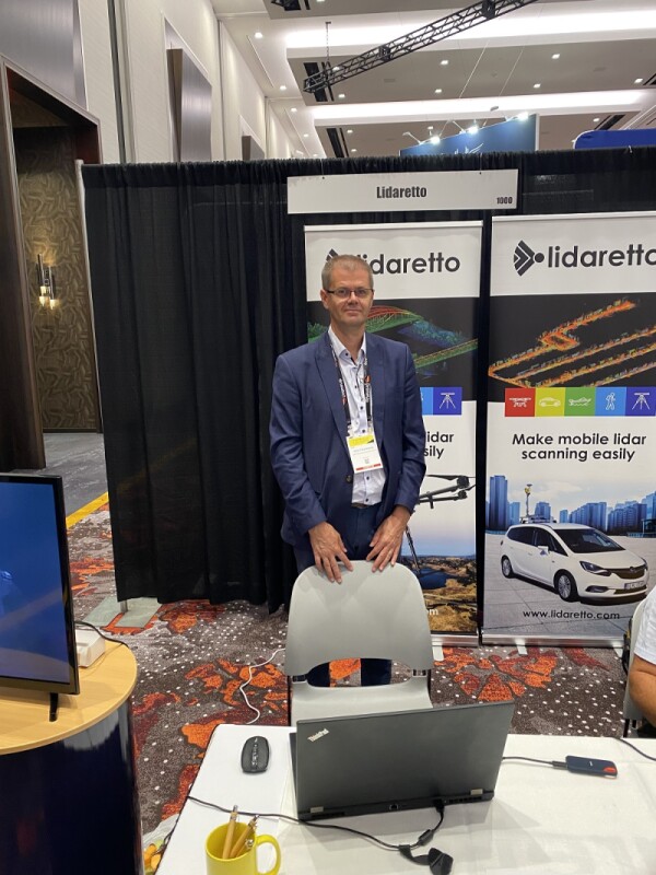
Lidar sensors are certainly a growing trend in the UAV space, and there are number of examples on display at Commercial UAV Expo 2022 in Las Vegas. One of the companies that fits this bill is GEOTECH, who in booth 1000 had with them their Lidaretto scanning system. GEOTECH Commercial Director Erik Frohmann spent a few minutes with Commercial UAV News to talk about the product and all that it can offer for surveyors.
While Lidaretto is a relatively new product, GEOTECH is far from fresh-faced, having been in the surveying industry for nearly three decades. The company, which is a representative of Leica Geosystems, started working on their lidar project about seven years ago. Today, the product is on the market with GNSS sensors to ensure positonal accuracy as well as lidar sensors from some of the biggest names in the industry in Hesai, Velodyne, and Teledyne Optech.
The unique value add that surveyors can receive from Lidaretto comes down to functionality and ease of use. The lightweight sensor allows it to be used with a wide array of UAVs which can support the payload, and it can also be used with a variety of machines, not only UAVs. The payload can be easily transferred, for example, from a UAV to a car or a boat, and vice versa. This kind of versatility opens up a bevy of possibilities, and also can be a big cost-saver with the ability to invest in one product to be able to use for a verity of use cases.
One such use case Frohmann recalled from one of their customers was for a water facility plant, for which they wanted to create a BIM model. They were able to use one sensor to capture data from the entire building using multiple vehicles to complete the project. To capture the roof and higher portions of the exterior, they attached the Lidaretto scanner to a UAV, and then they transferred the scanner to a car, which was able to get the lower portions of the exterior in high detail to maximize the accuracy and utility of their scan.
Surveyors and mappers are open to more projects now than even a couple of decades ago thanks to new developments in the hardware that can be used to capture this data, with lidar, mobile mapping, and UAVs all adding a tremendous amount of value to these professionals. Lidaretto is one of the companies taking advantage of these developments in highly accessible ways.

.jpg.small.400x400.jpg)


Comments