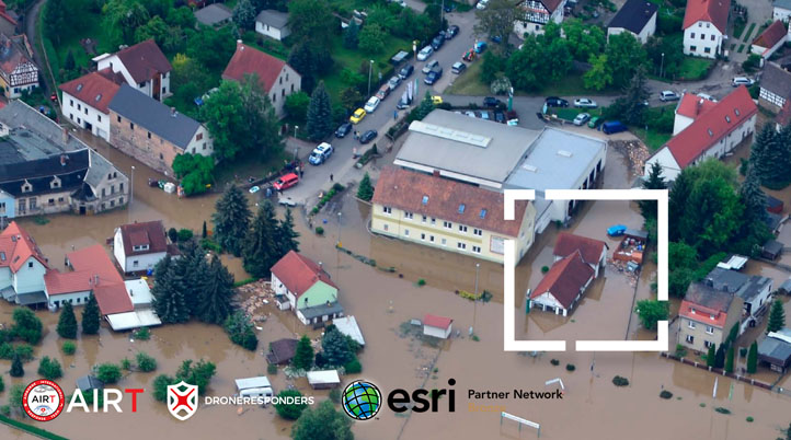
Airborne International Response Team (AIRT), the leading 501(c)3 organization supporting Drones For Good for emergencies and disaster response announced their participation in Esri’s Partner Network Program. The announcement was made during Drones: Taking Stock of a Growing National Capability presented at the InSPIRE Innovation Summit for Preparedness and Resilience, hosted by the National Alliance for Public Safety GIS (NAPSG) Foundation.
The NAPSG Foundation is a 501(c)3 non-profit organization formed in 2005 to overcome challenges faced by Federal, tribal, state, and local public safety agencies. Esri is a platinum-level sponsor of InSPIRE and the global market leader in geographic information system (GIS) software, location intelligence, and mapping.
Besides supporting Drones For Good for emergencies and disaster response, AIRT is also home to DRONRESPONDERS – the world’s fastest-growing non-profit program supporting the use of unmanned aircraft systems (UAS) and related technologies by public safety and emergency services agencies. The partnership with Esri expands AIRT’s ability to use location intelligent technologies for emergencies and disasters.
As an Esri Partner, AIRT will receive access to a wide array of geographic information system (GIS) tools, software, and support to better enable AIRT drone teams to prepare for and respond to complex incidents such as hurricanes and wildfires. Esri will also provide ArcGIS resources to help DRONERESPONDERS enhance support for public safety drone programs around the globe.
“We are excited to support the mission of AIRT and DRONERESPONDERS to help people during times of crisis by combining cutting-edge drone technology with the power of location intelligence,” said Ryan Lanclos, Director of Public Safety Solutions & Disaster Response, Esri. “Insights gleaned from aerial sensing combined with real-time capabilities will allow responders to improve planning and situational awareness surrounding all types of emergencies.”
One of the Esri tools that AIRT plans to test is Site Scan for ArcGIS, the end-to-end cloud-based drone mapping software designed to revolutionize imagery collection, processing, and analysis. Site Scan offers first responders a robust portfolio of tools such as fleet management, flight planning, and image processing and analysis, offering a robust solution for public safety operations with UAS.
“Every disaster response organization is seeking a turnkey solution that can rapidly and accurately collect data and process it into actionable intelligence,” says Christopher Todd, Executive Director of AIRT and a Certified Emergency Manager®. “We are excited to partner with Esri to deploy ArcGIS and Site Scan technology into real-world planning and response efforts around the globe.”
Esri will also be providing technical support to AIRT and the DRONERESPONDERS program to help bolster the ability of public safety agencies to use aerial sensing and GIS data processing technologies. The first phase of this initiative will involve the creation of a global geo-referenced database of public safety UAS programs across the U.S. and around the world.
“We will use Esri technology to help compile the most accurate directory of public safety UAS/RPAS programs and assets around the globe,” said Chief Charles Werner, Director of the DRONERESPONDERS Public Safety Alliance. “Our goal is to increase collaboration between UAS programs, provide updates on regulatory and technical issues, and help to coordinate mutual assistance and asset deployments across all types of jurisdictions for people in need during complex emergencies.”


Comments