

This week I am attending SPAR Point's inaugural commercial UAV event. With 1500 attendees and 120 exhibitors; my impression was that this is an event that easily stands shoulder-to-shoulder with other events in their portfolio such as ILMF and SPAR, but with relatively little overlap between those who attend. These are my initial impressions of the trends that we see here after attending the pre-conference and exhibition opening.
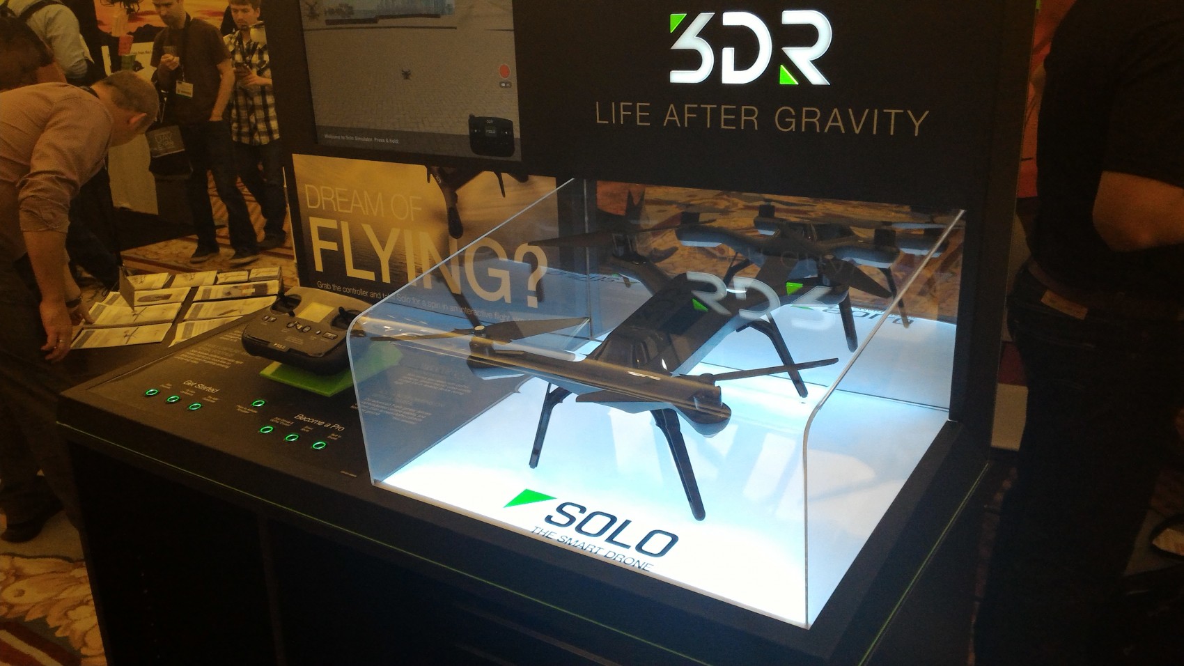
Range of shapes and sizes, packaged solutions There is, by far, a larger range of UAV platforms seen here than at other precision measurement and geospatial related gatherings. A quick glance across the exhibit floor indicated that both fixed-wing and multi-rotor platforms were well represented, from micro-drone through to platforms weighing in excess of the 20kg category.Specifically what was interesting to see that most platforms that the industry is already moving on from trying to provide the cheapest, most flexible, DIY solution. One comment made to me was that platforms either cost $30k or $60k. With solutions such as the 3DR prosumer type-systems being heavily promoted, I don't think that this is necessarily the case, but 'pre-packaged' and proprietary solutions are what the industry seems to be pushing us towards.Sensor AlternativesFrom the opening session in the pre-conference where Aerialtronics are mentioning alternative sensor types related to multispectral and chemical monitoring; through to the strong presences by hyperspectral and the familiar thermal sensor firms such as Itres and FLIR - there is definitely an awareness of payloads than traditional imaging cameras. I am particularly interested to see what developments may come from environmental sensor manufacturer Geotech following their acquisition of drone manufacturer, Leptron.Education, education, education.What I am most pleased to see this year the emphasis on training, or more specifically the service offerings that ensure that professionalism is maintained in this an industry that is still in its relative infancy. Of these services it was pleasing to see RPAS Solutions and Training from the relatively mature UAV market of Australia, showing off their RPASLogger solution. Analogous to document management solutions that some of us might be familiar with in the BIM industry, drawing upon experiences in developing flight safety software for the commercial aviation industry, RPASLogger provides a way to manage the flight plans (including information related to local flight restrictions), manuals and any other information that ensure operation compliance. We all love the new platforms and sensors that the industry has brought, and the potential that these technologies give to collecting a spectrum of data-types and accessing sites that have not been possible before; but with legislation having such an impact, ways to manage operational information efficiently are critical.Subscribe
The information you submit will be stored and used to communicate with you about your interest in Commercial UAV News. To understand more about how we use and store information, please refer to our privacy policy.
October 7, 2015
Three Takeaways from the Commercial UAV Expo

Want more stories like this? Subscribe today!
.jpg.small.400x400.jpg)

Featured Report
Featured Authors More Authors ›

Featured Authors


Newsletter Signup
Our Events


Our Events
September 1-3, 2026 • Las Vegas
February 23-25, 2027 • Salt Lake City
Comments