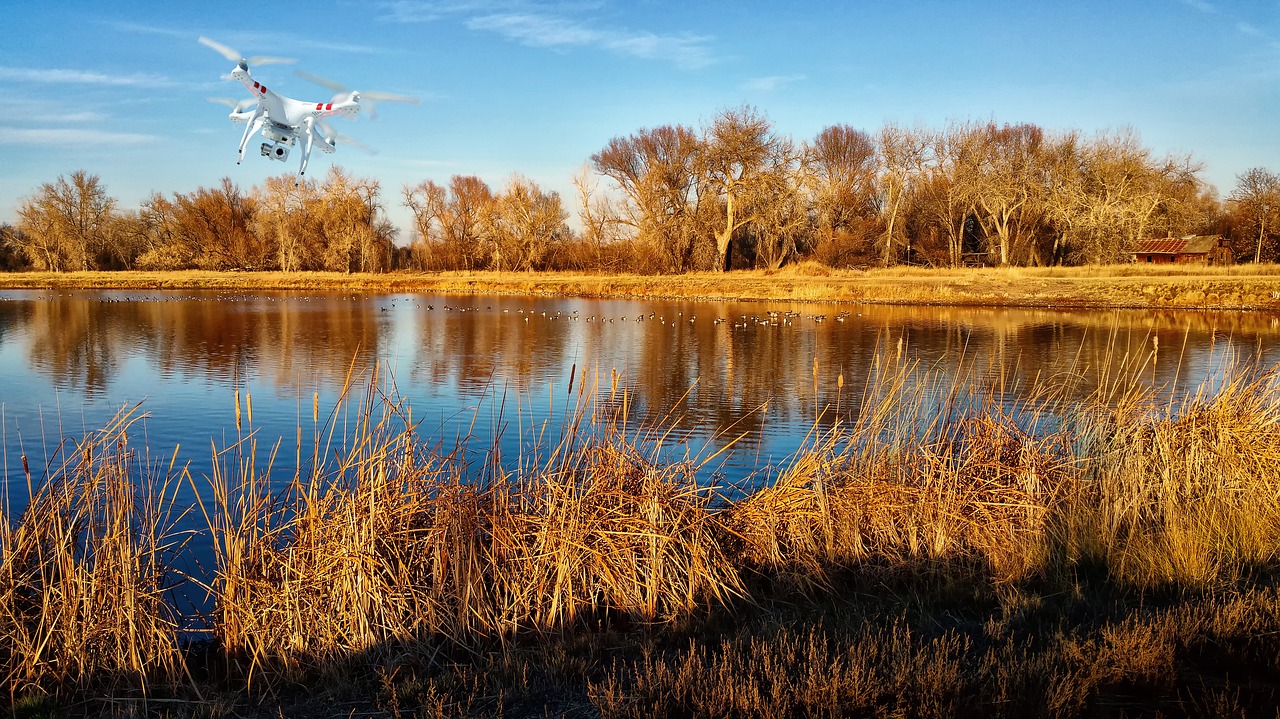
Regardless of whether you are an independent flier or a corporate entity using drones for various tasks, mapping is one of the biggest utilizations for drone technology to date. Thankfully, there are many powerful pieces of software that you can utilize as part of a complete drone solution for a variety of commercial purposes.
Here are some of the top options for you to consider:
DroneDeploy
DroneDeploy is an easy-to-use mapping software that both beginners and advanced users can use effectively. This 3D modeling and mapping software is available both for single users as a mobile app and enterprise clients who have any number of users.
There are many autonomous flight features and options within the software, including the ability to generate and view a 2D map of the area during flight.
You can also perform several types of in-field data analysis before you get back to the office and upload your images to create high-resolution 3D maps in several different formats that can be shared with the entire team or with customers.
DroneDeploy's enterprise platform will let you do almost anything — from managing hundreds of users and flights to building your own custom apps. The platform is feature-rich, full of cloud-based operations and easy to manage even if you have many team members or clients who need your data and maps on their own mobile devices while they are out in the field.
Pix4D
Pix4D is a versatile software aimed at more advanced users. Its high-resolution capabilities allow for retrieving the elevation and even the temperature value of each pixel to create highly accurate maps.
This software can take any .jpg or .tif image from any drone or camera and turn it into a high-resolution map that can be saved and used in over a dozen different formats from a simple .pdf to photo-realistic 3D textured mesh images.
Pix4D is great for business users, whether you are a one-drone commercial flier or a large enterprise with an entire fleet of drones and users. Its versatility also means that it can connect with other platforms (such as for agriculture, construction, etc.) for creating top-notch planning documents, yield predictions, site plans and many other reports.
True View EVO by GeoCue
The True View® product line gives mappers and surveyors the ability to deliver high quality analytic data with exacting accuracies. Assessing, correcting and reporting geometric accuracy is critical to metric mapping workflows. True View EVO contains tools to assess/report network accuracy according to American Society for Photogrammetry and Remote Sensing (ASPRS) standards, measure hard surface precision and geometrically adjust LIDAR data.
Examples of derived products include:
- Bare earth models
- Profiles
- Cross sections
- Topographic contours
- Volumetric analysis and more
Unlike some solutions, GeoCue’s True View® does not lock you in to a particular workflow. You can exit the True View flow at nearly any point, diverting the data from the True View processing environment to your existing workflow. True View EVO lets users ingest data from a True View sensor and process to end products without the need to employ other software applications. This is a huge reduction in workflow complexity and a big-time saver.
The True View® series provides user’s highly accurate sensor equipment and post-processing software for a complete drone mapping solution.
PrecisionMapper
This software from PrecisionHawk, while rather complex for beginning users, is great for situations that need a lot of careful monitoring.
The energy, construction and especially agriculture industries will find this software quite useful. Not only does it support data from just about every drone, but it also has a tremendous library of algorithms that you can use for almost anything.
PrecisionMapper is great if you need to analyze a ton of data with several different methods for your projects or for your clients who require several types of maps and situations for their own purposes.
Maps Made Easy
Finally – a fantastic way for beginners or small drone businesses to get a foot in the door.
If this is you, Maps Made Easy will make it painless by processing your images into a map on their own server, regardless of whether you need just a visual map or if you need a full-fledged volumetric mining or agricultural map.
Most small drone businesses start off with small mapping jobs (think farms or real estate) and all of these small jobs can be done for free on their server but are limited to around the equivalent of about 100 acres each, which is still quite a bit of data to be processed.
This option also has the advantage of freeing up your own computer so that you can work on other jobs while the Maps Made Easy server is building your map for you.
Agisoft PhotoScan
Another good drone mapping software that has over a decade of experience is Agisoft PhotoScan.
In addition to its high-accuracy surveying capabilities, it also sees some use in visual effects production. Like many other brands of mapping software, it has a choice of packages available, but the standard edition of their software is fully capable of performing many of the functions that many mappers need.
Propeller
Propeller mapping software is primarily geared toward the mining, construction, waste management and consulting industries.
Propeller offers various types of 3D mapping capabilities for several aspects of site management, from tracking changes to ensuring safety.
3DF Zephyr
Another mapping software that is useful for a wide range of uses is 3DF Zephyr by 3DFlow.
From simple advertising venues to accident reconstruction and precision agriculture, 3DF Zephyr has many different features for almost any type of corporate user.
And unlike some of its competitors, 3DF Zephyr is totally free for any personal use. The only drawback to the free edition is the fact that it can only process up to 50 images, but that is enough for simple projects.
However, you can use it for free while you learn how to use photogrammetry software. And there is no time limit on the use of the free edition.
While there are many more great drone mapping software editions out there, this list should be more than enough to get you started (and hopefully well on your way) on your mapping capabilities.


Comments