

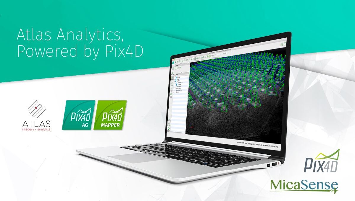
MicaSense, a multispectral sensor developer and a software provider for agricultural data analysis, has partnered with Pix4D, the software developer company that converts aerial imagery into accurate and georeferenced 2D mosaics, 3D models and point clouds. Through this partnership, MicaSense customers can use Pix4Dmapper Pro and Pix4Dag to upload processed maps directly to MicaSense Atlas, analyze the data and take it into the field for informed scouting, then export it or share with colleagues.
“Our customers value Atlas as an analytics and collaboration platform,” says Gabriel Torres, CEO of MicaSense. “They also tell us that processing data locally is important to them and their operations. By combining the processing capability of Pix4D’s software with the power of the MicaSense Atlas analytics, we provide a solution that optimally fulfills these needs.”
After the partnership with senseFly a few months ago, to provide a new end-to-end drone and cloud processing solution for agriculture professionals, it’s clear MicaSense wants to evolve and expand its services in the agricultural industry.
Jorge Fernandez, Solution Manager for Agriculture at Pix4D says: “Pix4D’s agricultural focus has always been to provide the most radiometrically and geometrically accurate results possible. We are happy to open this up to MicaSense Atlas users. This new button simplifies everything for them, we are really excited to make this happen.”
The new “upload to Atlas” feature from the Pix4D software releases on August 8th, 2017. MicaSense now distributes yearly and perpetual licenses of Pix4Dag and Pix4Dmapper Pro, and if you already own it, you can access a free 10-day trial of the Atlas software.

.jpg.small.400x400.jpg)


Comments