
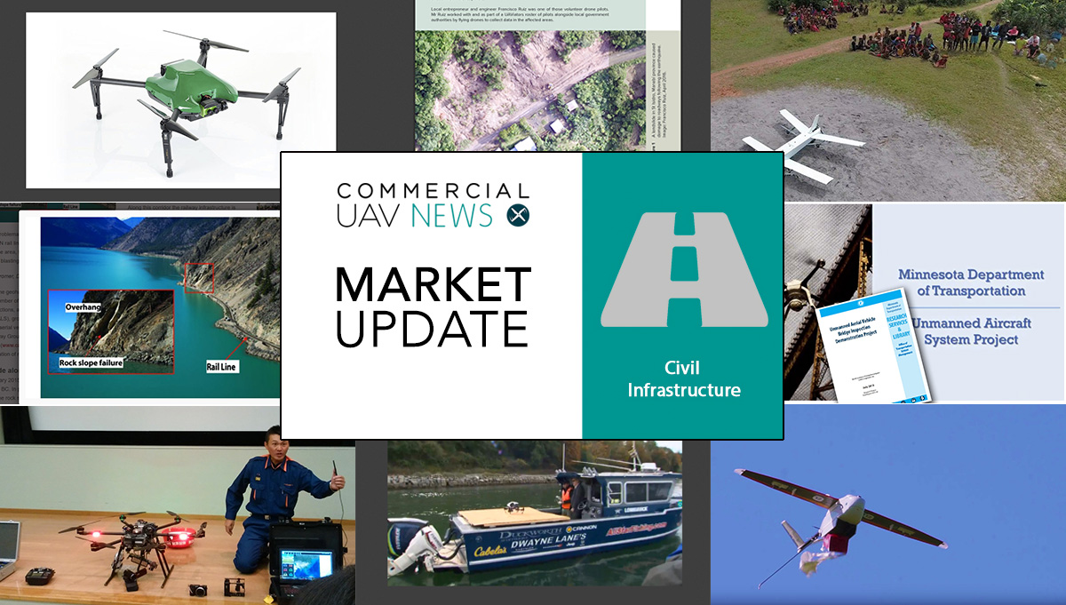
From bridge inspections in Minnesota to railways in Canada, drones are helping to create better infrastructures, bridging many time distances and obstacles that otherwise would not be possible to cover as quickly and safely. They are also helping to save lives, and recent report show those numbers are significant.
If there’s a time we could call “the drone age” it is now. It’s the dawn of a new era, showing us the potential of what was initially thought to be a toy or a military weapon. Drones may well be our "friends in the sky". We picked some examples of drones at work for this Market Update and invite you to browse through the previous editions, which pointed to other relevant stories.
 UAVs over the Canadian National Railway CorridorSince 2012, UAVs have been used along with other methods to identify and characterize geohazards, assess susceptibility and assist in the prioritization of mitigation works along the Canadian National (CN) rail lines. These rail lines traverse the Rocky Mountain, Cascade and Coastal ranges from Edmonton, Alberta, to the ports of Vancouver, British Columbia (BC).Along this corridor, which is located within steep mountainous terrain and deeply incised river valleys, the railway infrastructure is exposed to various slope geohazards including landslides, debris slides and rockfalls, all of which are problematic for the safe and efficient operation of the railway. The authors GIM International in their Geohazard Management on the Canadian National Railway Corridor article. The introduction of multiple methods has proven beneficial and there are plans to extend its use to other segments of the railway. Follow the link to read the whole article.
 Drones assess post-earthquake damage in EcuadorAfter a magnitude-7.8 earthquake struck north-west Ecuador, on April 2016, relief teams on the ground decided drones were essential to have a clearer picture of how the land had moved and also to assess further risk of landslides. Volunteer drone pilots collaborated with government and non-government actors to gain a better understanding of the situation from above and to inform the response.The collected data allowed the development of ortho-mosaics and maps that helped geologists and project managers assess risk and make decisions. Because of the speed with which they were able to collect and disseminate the data, these outputs were critical tools for decision makers and other authorities in the days and weeks following the disaster. Follow the link to read the whole article, entitled Drones in Humanitarian Action Case Study No.13: Using drones to inspect post-earthquake road damage in Ecuador, published at ReliefWeb.
 Drones to inspect Santa Fe RailwayThe use of drones to survey sections of railway corridors is becoming a regular option for many companies. The Burlington Northern Santa Fe Railway recently demonstrated the use of small drones to inspect the Everett waterfront. The railroad is using the drones, equipped with ultra high definition video cameras, to inspect the tiniest details and look for any signs of trouble. The railroad also uses the drones to inspect bridges, especially underneath, and in some cases even trains themselves.The drones make inspections faster and also safer for employees, lessening the risk of falling, and other hazards. Drones also offer a view and perspective that could not be achieved before, as is the case at the Everett waterfront. The inspectors… inspect the seawall by moving from the water over the tracks, instead of relying from one angle aboard a boat and another angle by foot or aboard a rail mounted truck. Follow the link to read the whole story and watch the video at K5.
 Haiti earthquake, drones and crisis mapsHaving his girlfriend in Haiti when a violent earthquake hit the place changed Patrick Meier’s life. Not being able to contact her, he felt he needed to help anyway possible, despite being 1,500 miles away, and he did what he thought was essential: a crisis map. His passion for maps and especially crisis maps, made it possible for him to create a tool, with the help of a community around the world, that helped the relief teams on the ground and became a reference for similar situations. Meier’s crisis map idea has since been used in places like Nepal, when a violent earthquake struck the country.These days Patrick Meier is focusing on the humanitarian uses of robotics, including camera-equipped unmanned aerial vehicles — drones — that take hundreds of pictures that can be stitched together to create maps or 3-D models. And he is a proud father to the first baby from his girlfriend – they married in 2013 -, who survived the Haiti earthquake. Follow the link to read the whole story at NPR - Parallels.
 A drone, two packagesAnnounced at the Commercial UAV Expo in Las Vegas, the Omni UAV from Dynamic UAV Solutions is available in two packages, Inspection and Agriculture, suggesting a solution that can well appear in drones from different companies. In the case of the Omni UAV, the The Inspection Double 4K sensor features dual zoom lens and the Agriculture Double 4K sensor simultaneously captures high-resolution color and near-infrared (NIR) data.When it comes to the base package, common to the two verticals, we’re talking about a Sentera Omni, a quad-rotor able to capture data from virtually any angle: up, down and all around. To achieve that goal the Omni naturally partners with a gimbaled Sentera Double 4K Sensor – creating an easy-to-use, precise UAV package for the Inspection, Survey and Mapping, and Agriculture industries. Follow the link to read the whole story.
Photograph by Brian Smith and courtesy of IMCO
 Drones deliver medical careThe government of Madagascar and medical drone manufacturer Vayu are working together to develop tools for use in rural Madagascar, using UAVs to help deliver cutting-edge medical technology to the country's most isolated communities. There are more than two billion people lacking adequate access to essential medical care, particularly due to challenging terrain and gaps in infrastructure.The project is backed by the Madagascar government and the United States Agency for International Development (USAID). A trial with a fully autonomous drone saw the delivery of blood samples from rural Madagascar to a central lab. Vayu's drones took two years to develop and will be used to serve and connect rural villages to central hospitals. Follow the link to read the whole story.
 Blood deliveries in Rwanda… by UAVsIn Rwanda, postpartum hemorrhaging is the leading cause of death for pregnant women, but medical clinics often don't have blood in stock because blood there are many different blood products and no way to predict which ones they'll need. A new program put in place now allow clinics to place emergency blood orders by cell phone text and the distribution center will send one drone with the package. The drones can fly 150km round trip even in wind and rain and carry 1.5kg of blood, which is enough to save a life. They can make a deliver within about 30 minutes.The story is another example of the extensive use of drones to provide help in isolated areas. The drones will make 50 - 150 emergency flights per day to the 21 transfusion clinics in the Western half of the country. In 2017, the project will expand its deliveries to the Eastern half of the country, meaning all 11 million citizens will have access to blood and medicines quickly when they need it. Rwanda predicts that thousands of lives will be saved in just the first three years. Follow the link to read the whole story.
 Drones to change fire-fighting operationsThe Chiba City Fire Department, in Japan, received recently is first drone, acquired by the national Fire and Disaster Management Agency for 2.5 million yen (about $31,500), to feed live information to emergency responders. The drone can be fitted with a camera or a gas sensor, allowing responders to see live footage of a disaster scene and test the concentration of gases in the air.While the department has not received any cases that require the use of the drone so far, its assistant commander Takayuki Mitsui said his team is "fully prepared" and adds ”we feel the unmanned reconnaissance system will change the future of fire-fighting operations,". He noted such dangerous scenarios as forest fires, tsunamis, landslides and earthquakes where UAVs could mitigate the risk for firefighters while also pointing them to survivors. Follow the link to read the whole story.
 A special drone for bridge inspectionsThe Minnesota Department of Transports Office of Aeronautics and Aviation received in August a State Government Innovation Award for its project to use drones. The project, titled Unmanned Aircraft Systems (UAV) Bridge Inspection Demonstration Project, found that using drones for bridge inspections improves safety, lessens traffic disruption and reduces work time. For one type of bridge, inspection time shrank from eight days to five.The project continues this fall, but the MnDOT already has a notion of the potential and of the specific kind of drone needed for the task. “That day may still be far off, but our initial project was an encouraging first step,” said Jennifer Zink, MnDOT bridge inspection engineer. “Phase 2 of the project will better provide details as to methods, criteria and cost effectiveness for how to apply drone technology best to bridge inspection.” Follow the link to read the whole story.
.png.small.400x400.png)


Comments