|
|---|
A four-part series exploring when and how drone technology can be considered and utilized in place of or in addition to other potential solutions. |
|
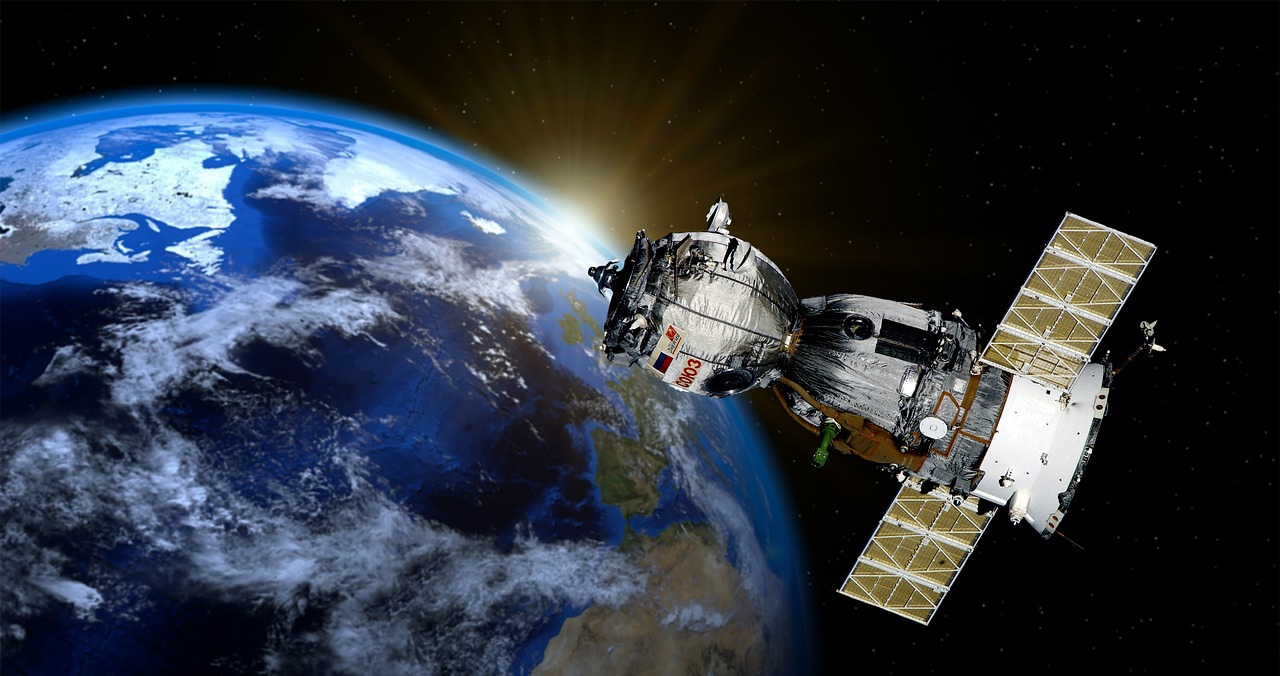
The world has come a long way since Sputnik. We've been living in the age of satellites for more than half a century now, and the ways in which those eyes in the sky are helping people’s daily lives are as significant as they are immeasurable. Tasks associated with everything from weather monitoring to surveillance are being supported with data gathered by satellite, and the scope of information that satellites can provide is incredible.
Just as they have
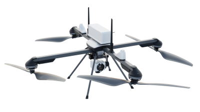
with manned aircraft through, drones have proven to be a reliable alternative when it comes to gathering information that would otherwise be provided by satellites in a faster and cheaper way. Typically though, it's really not a question of "either/or" when it comes to deciding whether it's better to utilize drone or satellite data, because the platforms are gathering information in very different ways, at totally different scales. These distinctions have created completely different value propositions for each approach.
Ultimately, whether it makes sense to use one or the other or both is a question of the tasks that need to be performed and the specific data that needs to be obtained. There are instances when a drone just won’t do the job as well as a satellite, but there are also plenty of instances when it would be foolish to try and utilize a drone if satellite data is available. These distinctions have allowed us to come up with some rules of thumb around where and when it makes sense to use one over, or in addition to, the other.
Choose Satellite When…A “macro” view of the terrain is needed.
“Sometimes drones just aren't the best tool for the job," said
Ian Smith, Host of
Commercial Drones FM podcast, and Business Development Lead at DroneDeploy. "Satellite companies like
Planet are imaging the entire globe every single day and are in the process of making use of that wealth of data. Drones are great to get the ‘micro’ view of fields but in certain cases, the satellite-provided ‘macro’ view can be more than enough for a given task. It all depends on the goals of the end user and what they want to accomplish.”
Choose Drone When…When a “micro” take of the land is apropos and scaling up doesn’t matter.
Many drone advocates have talked about the issue the technology creates at scale, which is
especially evident in the agriculture. Someone who has 100 acres of a certain crop won’t necessarily be able to use a drone in the same way as someone who has 1,000 acres, even if it's the exact same crop in the exact same climate. While others are confident that the technology will eventually be able to easily and effectively scale, it’s clearly not going to be a fit for everyone.
“Scaling up quickly can be cost-prohibitive for farmers and growers," Smith continued. "A single, $1,000 multirotor drone nowadays, paired with the correct software, can easily survey 100+ acres in one flight. With a few batteries, you can do hundreds of acres per day. But is that cost-effective for your operation? There are plenty of small farms in the world—with the majority being under 400 acres in some Asian countries, so size isn't a factor. The questions that these end users should be asking themselves is, 'Do I even need to scale?'. The big problem that still persists seems to be extracting the value from the aerial data that's produced, but there are companies, like Agremo and DroneDeploy, who are solving those problems together.”
Choose Satellite When…A large amount of data must be gathered quickly.
Satellites scale up well on farm surveying but don’t offer the kind of fine details that can be obtained with drones.
“In the satellite vs. drone debate, using the drone to do more spot-checking, rather than gathering a huge glob of data, is probably the ideal use case right now," Smith said. "Unfortunately, there are not many companies that make the use of satellite and drone imagery, together, economical or easy. For agriculture, it's all about bang for the buck. Which is going to be more effective during a specific growing season—satellite imagery or drone imagery? The big win that's coming is making use of the historical data from past growing seasons and using that to model predictive analytics.”
That kind of predictive analysis is key because the biggest improvements in remote sensing from satellites today surrounds the frequency in which data is being gathered. Companies like Planet are scanning the globe every day with their constellation of satellites, with various types of sensors. All of this data is going to become incredibly useful for trend analysis, prediction, and anomaly detection at a massive scale. The availability of this information will enable informed and powerful decisions.
“With a satellite, the world is essentially your oyster. You can get data over large areas and also within controlled airspace. The disadvantage there may be the economics or the quality of the data itself,” Smith said.
Choose Drone When…It makes sense to do so because regulations have opened up a new value proposition. Changes in drone tech, and the laws governing it, are expected to impact whether someone wants to use a drone or a satellite to do the job.
“BVLOS operational approval may be a requirement for some missions and today, but it's extremely difficult to get a waiver from the FAA in the U.S. to make these types of flights a reality," Smith explained. "There are also certain geographies which may be in close proximity to controlled airspace and airports. Operations in those areas also need approval."
There are major questions around
when the FAA will open up BVLOS operations, but that's a topic which people on both sides of the industry are focused on making happen sooner rather than later.
Choose Both When…A wise opportunity to do so presents itself.
There are opportunities on the horizon for a merging of some of these technologies, to the benefit of the consumer and the companies alike.
“Companies like Airbus Aerial are trying to merge their fleets of satellites with drone data to provide their clients with a holistic approach, tailored to their needs. This is a big opportunity and if it can be done effectively then there are big wins on the horizon for plenty of companies who are investigating these types of aerial data,” Smith said.
The role
drones will play in aerial data acquisition ecosystems is something that's currently being discussed, but it's clear that certain problems are always going to require particular solutions. It's all about the specific use case, but these technology developments have helped create powerful options and alternatives.
“Every industry and company has a different set of goals that they need to accomplish—it takes a thoughtful examination of those goals and then the pairing of the best respective solution in order to make the most efficient decision in choosing data derived from a drone or a satellite,” Smith said.
The ability to use new tools and more specific data as necessary has gotten professionals to think about what kind of info they need for a given project in a totally new manner. Easy access to these tools and approaches has changed the value propositions for using one solution or another, but that change has also spurred efforts to consider where and how these approaches complement one another. One thing is clear—satellites will continue to impact drone technology innovations and vice versa.
“Satellite imagery is still useful to the commercial sector," said
Noah Ruiz, owner of
Skynetwest. "We use it for Preflight Planning and Flight Planning Software. It is still useful to the general public. Satellites make it easier and more efficient for the planning of operations."
It's exciting to think about what it will mean to see a solution that can combine drone data with satellite imagery in a powerful way. Even after that sort of capability is developed, there will still undoubtedly be cases where it makes sense to use one approach over the other. Hopefully though, a more seamless integration of drone data with satellite data will help operators understand that their approach should focus on how these solutions can complement one another.


.png.small.400x400.png)


Comments