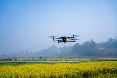
A new enterprise driven package from Delair allows drone pilots to gather more information in a single flight, by combining LiDAR and an RGB camera. The DT26X LiDAR represents what it will mean to effectively utilize drone technology in the future.
Questions about whether photogrammetry or LiDAR represent the best choice have been asked by professionals in a variety of industries for a long time now. However, the Delair DT26X LiDAR, a fixed-wing drone that reaches up to a 30Km range, with almost 2 hours (110 minutes) of flight-time, is set to completely redefine the question.
By combining the UAV-designed RIEGLminiVUX-1DL LiDAR and a Photogrammetry camera, Delair helps to increase the precision, efficiency and cost-effectiveness of surveying and 3D mapping. The RIEGLminiVUX-1DL offers a high scan speed of up to 150 scans/sec and a measurement rate of up to 100,000 measurements/sec - effective in penetrating poor lighting conditions or dense foliage. On the other hand, the photogrammetry camera helps to complement and enhance the digital rendering of the LiDAR data.
“The new Delair UAV is typically the type of drone RIEGL had in mind when designing the RIEGLminiVUX-1DL, and represents another step toward completing our UAV LiDAR equipment product portfolio”, commented Michael Mayer, Managing Director, RiCOPTER UAV GmbH. “The scanner’s specific wedge prism scanning mechanism generates a circular scan pattern, resulting in high point densities and therefore is especially well suited when deploying the scanner from fast- moving acquisition platforms such as fixed-wing UAVs. The FOV (Field of View) of the miniVUX-1DL is 46deg, resulting in optimized efficiency for downward-looking, linear acquisition setups like corridor mapping applications, for example.”
In an interview at ILMF 2018, Delair’s Geospatial Product Manager Chase Fly said there’s a lot of usage opportunities for the DT26X LiDAR such as “in forestry, utility work (transmission & distribution lines), at corridor type projects, environmental - where you need to classify vegetation or stratify vegetation - and from hydrology work to stream bed & wetland delineation.”
“The combination of a sophisticated LiDAR sensor and an industrial grade RGB camera removes the ‘either/or’ decision of choosing between LiDAR and imagery data acquisition for geospatial professionals. This is the most versatile and cost-effective UAV solution for large area, long range mapping and surveying where accuracy and detail are required,” Chase added. “It provides the precision and visibility required by the most demanding use cases and allows data acquisition and advanced digitization not possible through terrain-based or satellite 3D mapping techniques, or with limited short-range UAVs. With this configuration, users can acquire all the data required for a colorized point cloud from a single flight, which eases the point cloud classification process back in the office, saving significant time and money.”
Delair plans to start shipping the DT26X LiDAR in April 2018, once the RIEGLminiVUX-1DL is in full production.


Comments