I’m writing this post while feeling pumped after having seen one of the best attended and most positive Product Preview sessions for a while. These sessions are the obvious forum for vendors to give their sales pitch and announce the specifications of their latest and greatest systems… which is one of the reasons why such sessions can have notoriously low attendance.
That wasn't the case here, partly because the presentations went beyond power point slides, but mostly because of the stories which were shared that illustrated to us as industry professionals why we are here.

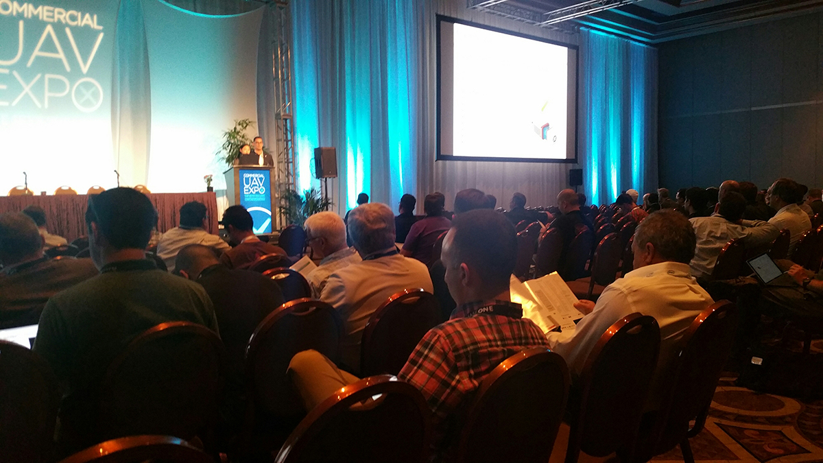
Dave Henderson illustrating the story behind the Topcon product line.
While details like UAV payload capabilities and software that makes production of map-like products even easier were shared, what was essential was the fact that a good proportion of the presentations articulated why not only we collect data in a certain way, but most importantly why data is collected and processed at all.
If you are going to operate a professional service, do it right
As an example of platform functionality that was discussed, let us highlight the direct georeferencing workflows made possible by building UAV platforms that include both camera sensors and inertial navigations systems (INS).
“If you don’t already know what direct georeferencing is, it may sound boring – But it is not. At all. It is awesome” (Microdrones) Direct georeferencing is commonplace in today’s digital photogrammetric workflows that are performed from manned aircraft. In the manned world, it is assumed that an aerial camera will always operate in conjunction with an INS, and it is difficult to imagine how national or regional -level mapping could be achieved any other way.

Impact of direct georeferencing on project cost
Due to factors such as state-of-the-art UAV camera technologies, as well as he proliferation of standard prosumer digital cameras and a quest to keep investment costs to a minimum, direct georeferencing workflows for photogrammetry are only now beginning to make inroads into the commercial UAV capture workflows. Outside of the academic and research forums, this week has been one of the first times that I have seen the project benefits of direct georeferencing be spelt out for commercial operations. Microdrones categorized these benefits in terms of reducing (removing) the need for ground control points, reducing imaging overlap (and hence flight lines), improving safety, and accordingly the indicative time – and hence cost of undertaking a project. In a professional rather than amateur context, these are indeed the factors that matter.
Within the buzz of the UAV industry, and especially the processing technologies that we have available to us, it can be easy to assume even in relatively standard mapping operations that the algorithms that we have available to us provide the ability minimize the requirement for human inspection processes on data that we collect. While the opportunity and wish for Beyond Line of Sight (BLoS) flight operations in the United States has been well-documented, in countries such as France, professional BLoS have been a reality for the last 4 years. Given the experiences in these types of operations, which exceed those that we have in North America, it was significant that within these professional operations, French BLoS platform and solutions firm Delair-tech emphasized the value and requirement for skilled human data interpretation in their data delivery procedures.
Why undertake professional UAV operations in the first place?
Within a professional environment, the strongest driver to undertake UAV operations is because collecting data in this way enables us to achieve an objective or produce a deliverable that we would not have achieved otherwise. These drivers were articulated clearly by Bob Young of Precision Hawk, in that we need to stay focussed on the fact that we are operating in this way because we are producing actionable information for our customers. The story that Bob described relating to why a farmer might consider using UAV services not for collecting nice looking images, but for deciding which corner of his property to apply pesticides, was an analogy that should be relevant to anyone looking to provide data collection and delivery services.

Recognizing components and condition of the asset

Predicting what to do next
Finally, the Dutch firm Aerialtronics showed us how they're looking to take things to the next level while also predicting what that next level actually looks like. They've made some significant innovations with the development of new camera sensors and associated computer recognition platforms by their partner NVIDIA. Also, delivering data into IBM’s internet-if-things Watson platform provides a context for applying predictive analytics to not only produce actionable information but to also identify when information should be actionable. Within the solutions presented, not only are key aspects of an asset being recognized and documented, but this information is being used to assess conditions within the setting of a predictive maintenance program. It's very exciting.
The possibilities for using these workflows for previously undocumented cases such as crowd safety and assessment in the aftermath of natural disasters are really powerful. They exploit and access opportunities that drones provide where we can see the real value of these types of innovation in terms of doing what we cannot do already.


.jpg.small.400x400.jpg)


Comments