

One of the main reasons commercial drone professionals return to Commercial UAV Expo year after year is that the event provides practical, real-world advice for people who use uncrewed systems in their everyday work. The chance to hear industry experts explain how to make workflows more efficient and operations more profitable inspires many drone industry pros to keep coming back to Las Vegas.
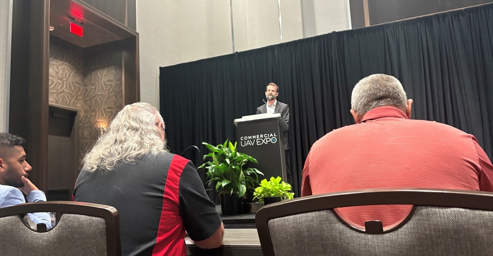
This year’s “Best Practices and Lessons Learned from Drone Survey Implementation” session was yet another example of how the Expo offers compelling learning opportunities for people seeking to improve their drone-focused enterprises. For the event, moderator Christian Stallings, CP, President of Vertical Aspect, led a panel featuring David McVey, Director of Global Drone Operations for Sedgwick Claims Management, Vik Chaudhry, the co-founder, COO, and CTO of Buzz Solutions, and Douglas Spotted Eagle, Director of Client Experiences for The LiDAR PROs, LLC. The session spelled out how surveying professionals could get more from their drone-based workflows and maximize the quality and profitability of their operations.
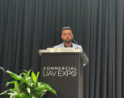
Chaudhry started the session with a look at the challenges facing surveyors using conventional methods and a discussion of how drone-based methods, including those that incorporate AI, can bring tremendous improvements in efficiency and ROI. “Traditionally,” he explained, “surveyors have used foot patrols, pickup trucks, and helicopters for inspections, but these have proved to be very unsafe methods for collecting data, doing inspections, and surveying.”
To address these challenges, Chaudhry explained, more and more surveyors are turning to uncrewed systems with advanced technologies like AI. To show the value of these approaches, he presented case studies showing how drones have improved transmission line inspections, vegetation encroachment surveys, substation monitoring projects, and solar inspections.
Looking ahead, Chaudhry said that surveyors will continue to turn to these new approaches and incorporate autonomous flight capabilities, drone docks, and AI. Effective collection and analysis of data, he asserted, was a key component of these efforts. “All these technologies need to be integrated into a bridge, a digital twin, or a digitization software and analytics tool that helps you take all these aspects together,” he said. “That’s where the future of inspections is going.”
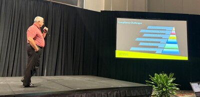
Next was Sedgwick’s David McVey who emphasized the importance of compliance in operating a drone-based surveying program. Drawing on his experience in developing internal policies and procedures, McVey stated that a drone program should be built on “safety, compliance, and planning,” and that drone program leaders must stay aware of constantly changing regulations, environmental concerns, airspace management issues, and more.
He stressed the need to accurately document all elements of a drone program and to have a clear strategy to ensure that nothing is left to chance. “Luck is not a strategy,” McVey stated.
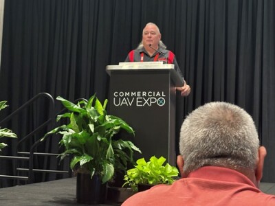
Closing out the session was Douglas Spotted Eagle from The LiDAR PROs, who walked attendees through some of the basic technical elements of a drone-based surveying operation. His talk, titled “Precision and Accuracy in Aerial Capture,” compared consumer GPS with RTK and PDK, and gave surveyors tips on how to choose the right systems for their specific operations. He also explored issues around ground control, explaining how different approaches to ground control are best suited to different types of surveying projects.
To wrap up the event, Spotted Eagle fielded a number of questions about real-world drone surveying issues and gave attendees much useful advice on how to improve their operations.


Comments