

Numerous applications of drone technology in the construction industry have proven to be incredibly powerful not only when it comes to performing tasks in faster, cheaper and safer ways, but also in terms of quantifying those differences. They're distinctions we’ve explored when it comes to how large and small firms are using drones, whether or not it makes sense for an organization to create a drone program, and how UAVs have changed construction workflows. These are just a few of the ways that individuals across the space are seeing and quantifying the difference drone technology is making though.
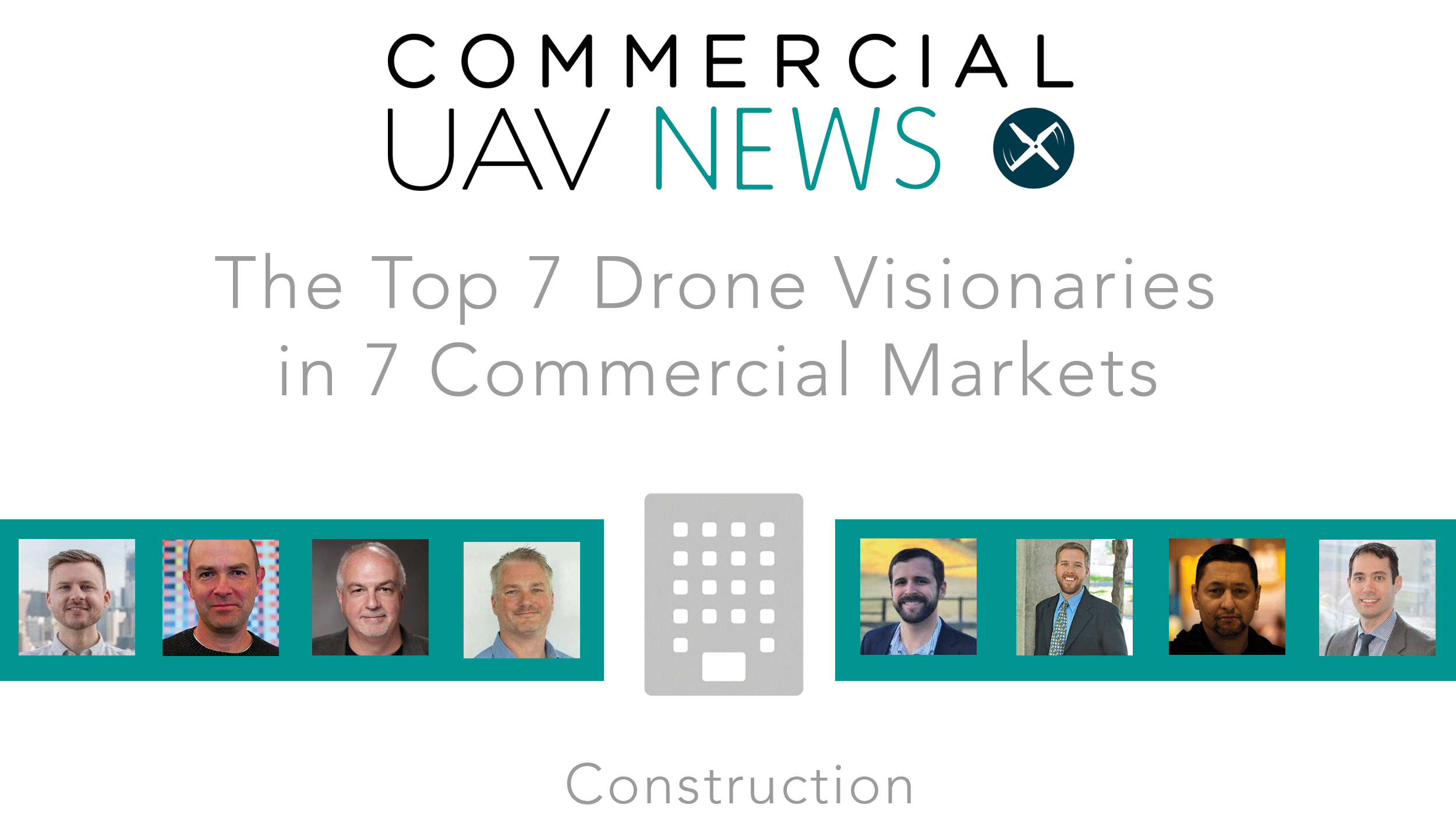
To highlight some of the efforts others are making, we’ve put together a list of 7 drone visionaries who are using or working with drones in construction along with a bonus visionary whose interest goes beyond this specific application of the technology. Of course, all of the people on this list have worked in and are focused on a variety of industries and markets, which is just part of the reason that this list should simply be the starting place for anyone intent on discovering all of the people that are making a difference with UAVs in construction. If you’d like to learn more about these visionaries, you can discover the sort of insights some of these folks and plenty more will be looking to share at upcoming industry events.
To see all of the visionaries in our 7 commercial drone markets, click here
 Chris Anderson
Who is he?
Chris Anderson is the CEO of 3DR, founder and chairman of the Linux Foundation's Dronecode Project, and founder of the DIY Drones and DIY Robocars communities, including the ArduPilot autopilot project. In 2016, 3DR launched Site Scan, a complete drone data platform built specifically for construction, engineering, and mining teams. Site Scan makes it easy to capture aerial data, process it into centimeter-accurate maps and models, share it across teams, and export into common tools such as the Autodesk AEC Collection.
How is he making an impact?
Site Scan is designed to help drone operators get the most out of the UAV investment, and the company has formed partnerships with companies like DJI, Trimble and FLIR to ensure they’re providing as many of those opportunities to users as possible. Users across the world have adopted Site Scan to create accurate, reliable drone maps and models.
The software is being used differently by small and large firms, as professionals are using the data gathered by the drone to ensure they’re being as strategic as possible and not generating what would otherwise be unnecessary expenses. This approach has seen some organizations be able to quantify a 4X increase in productivity with Site Scan. These are developments that are ultimately driven by Chris’s vision to see that drone technology becomes “boring” since it will be so commonplace in construction environments.
What’s on the horizon?
While Site Scan is supposed to make utilizing drone technology that much simpler and easier, it’s also designed to change the way construction professionals think about inspections. Ultimately, the way in which construction professionals think about how often they can and should be performing inspections needs to change, and that will be driven by the efficiencies that Chris is working to showcase for the construction industry.
“The original intention isn’t about scanning sites once, but scanning them daily,” Chris said. “What automation allows is repetition and cadence. You can take something from an occasional task to a daily one that’s done automatically. We want the cost of scanning every day to be zero. We want to enable the daily cadence of scanning without the loss of precision. Precision can come in the box.”
 Grant Hagen
Who is he?
Grant Hagen is the Virtual Design & Construction Manager at The Beck Group, an architecture and construction company. Grant leads technology implementation at Beck through research, development, and training for Beck’s collaborative software/ hardware platforms, including UAVs.
How is he making an impact?
With a degree in engineering, Hagen started at Beck in 2012 as a Project Engineer. It was during one of the larger projects where he saw “the value drones bring to projects by incorporating them into our workflows, to give us a greater site awareness of various tasks that were typically time-consuming or challenging to perform safely”. In 2015, Hagen became 333 compliant with a Sports Pilot license to help establish Beck’s drone program.
“2017 was our first year investing in hardware and building our fleet of equipment and pilots with the Part 107 changes in June 2017”, Grant said. “We consistently implemented over 75% of our projects in DFW that year, and knew we were in a great position coming into 2018 to build our drone program into a structured approach to serve our staff.”
He has participated in various speaking engagements, such as at the Commercial UAV Expo, Drone Deploy Day, USLAW / Regulation Engagement, and AGC / AIA Engagements. He has also worked with some key industry-leading software companies to help develop their roadmap for the drone industry.
What’s on the horizon?
“In an industry that is notorious for being slow to adapt and innovate, there is a tremendous amount of potential to use this technology in our industry,” Grant added. “Surprisingly, we haven’t even scratched the surface of how much this technology is going to impact our industry.”
He thinks “full autonomy, longer flight times, beyond VLOS, higher quality deliverables, and more standardized and easier regulation requirements are all current things which are being worked on that have tremendous upside for where the future of this technology is going”.
In the short term, The Beck Group is looking for more pilots, more use cases, more applications for utilizing the technology on our projects, while mid term, in a year or two, “our hope is to continue to find ways to integrate this information into our core systems as it relates to scheduling, Leadership Project Tracking, and financials for our projects”.
“In 5-7 years, the goals is to reach 100 percent project coverage where applicable, and “crossing our fingers that the ‘little black box’ on top of job site trailers is a fully autonomous system not needing pilots. Lofty goal, but excited to get there before legislation for when it's ready to happen!”
 Ian Smith
Who is he?
Ian Smith is a FAA-certified commercial helicopter pilot, flight instructor, drone operator and aerial photographer, with 11 years of international experience in the aviation industry. Ian is the owner and host of the Commercial Drones FM Podcast, which explores the people, concepts, & industries that use drones for business.
How is he making an impact?
Ian’s podcast provides incredible insight into the drone industry as various subjects are discussed in detail by many people. Previous guests have included: DJI, The Verge, Forbes, AT&T, U.S. Department of the Interior, NOAA, Airware, Velodyne, 3D Robotics, Recode, DroneDeploy, and more.
One of the most critical episodes of the Commercial Drones FM Podcast for the Construction industry is episode 53: Drones In Construction with Todd Wynne, where Todd “explains how not just drones but all types of new data sources are being combined to give a more holistic view of a construction site”.
“Using drones in construction is an absolute no-brainer,” Ian said. “The construction industry has been stuck using the same paper methods for decades—essentially left in the dark on near real-time progress updates. The entire construction industry is undergoing a sort of "renaissance" right now—ask anyone in an AEC company's BIM or VDC division and they'll tell you how indispensable the most basic drone data has become for them in such a short amount of time.”
What’s on the horizon?
Ian will attend the Commercial UAV Expo in October in Las Vegas where he’ll be making a point to get one of the speakers onto the podcast to chat about what the latest developments and use cases for drones in construction.
“The future of drones in construction is quite vast,” Ian continued. “There are so many directions to go. Drones today are primarily flying and have an operator watching them. One of my favorite, somewhat far off use cases, is having a drone not just capturing data but acting on the data by either fixing something, moving materials around the site or just playing a bigger part by constructing things itself."
 Julian Norton
Who is he?
Julian Norton is the Business Development Manager at Pix4D, a developer of photogrammetric software solutions to create 2D maps, 3D models and point cloud. Last year, Pix4D launched new enterprise and higher educations solutions, and announced a few partnerships, such as with MicaSense, to provide a more complete analytics, and Wingtra, to deliver actionable insights for drone operators.
How is he making an impact?
In the past two years, Pix4D has been focused on dedicated events - trade shows and conferences - on Digital Construction, BIM, or Planning & Scheduling to showcase how their solution helps these industries collect more actionable data with a drone, or with its newest solution, the Crane Camera. In May 2018, Norton talked through the advantages and benefits associated with the Crane Camera solution during a webinar.
“Drones have become one of the easiest new technology to adopt on the construction site”, Norton said. “Whether it’s for documentation, for instance before pouring concrete, helping in the pre-design construction process providing 3D models of the project environment, or speeding up data collection for infrastructure/building project monitoring, drones have become the aerial eye of the job site.”
What’s on the horizon?
“Drone technology is exciting, construction professionals love it, and it has clearly more potential,” Julian said. “But it's not standard practice yet. That would be the first step: make drone mapping a common practice for any type of construction projects.”
He thinks “the first objective is now for construction professionals to make sense of the drone data and have end-to-end solutions to automatically integrate this data into their construction processes”.
Furthermore, Pix4D wants to focus on a new way to automate object recognition and 3D modeling, using drone-captured imagery and machine-learning photogrammetry processes, and improve data availability for planning and checking through its cloud-based application.
 Logan Campbell
Who is he?
Logan Campbell is the founder and CEO of Aerotas. His company provides complete drone solutions for land surveyors, including drone program implementation and drone photogrammetry & CAD linework drafting service. He graduated from Harvard Business School in 2015 and brings experience in a broad range of industries, including agriculture, real estate, and finance. A lifelong tinkerer and avid drone enthusiast, Logan also has hundreds of hours of flight experience over a broad set of different drone types.
How is he making an impact?
The famous McKinsey & Company study that found lagging construction productivity costs the global economy $1.6 trillion a year looms large for many construction professionals, and the push to create efficiencies and eliminate waste is strong than ever. It’s one of the reason’s that Logan is working to help professionals realize that they can do more with less by using drones, and the technology can lead to a 90% time savings in certain applications.
Making drone technology credible for surveyors and engineers is something Logan is specifically focused on, and doing so has direct ramifications in construction. The Aerotas team works with Civil Engineers, Land Surveyors, and project managers to use drone technology to do everything from pre-construction planning topography to final as-built and ALTA surveys of completed jobs.
What’s on the horizon?
Many have talked about how data is the new oil, and drones have proven they can gather information in especially fast, cheap and safe manners. Turning this data into useful information is a key though, and it’s something Logan believes will come into focus for construction organizations as they realize what it can mean for them to utilize experts who can define where and how drone technology can create value.
“The silent killer throughout all of drone data processing is time,” Logan said. “The promise of drones is that they will save an enormous amount of time. But just a few mistakes in accuracy, processing, or having to revisit a project site will counter all of those time savings, make you look bad in front of a client, and cost money. A single error in final accuracy might delay a project by a whole day or more. Having the expertise to prevent errors before they happen, and catch any errors in a timely manner is the best way to save money. This is why expert processing is the best choice for a lot of companies.”
 Oliver Smith
Who is he?
Oliver Smith serves as the regional VDC Director for the Mid-Atlantic and Southeast regions at Skanska. Over his career, he has created and implemented many standards and workflows to help integrate a more streamlined and effective process. At Skanska, Oliver serves as the regional VDC Director for the Mid-Atlantic and Southeast regions. This role has evolved into a more expansive one where it allows him to utilize his expertise in all aspects of his career rather than BIM. Currently, he heads up Skanska’s UAS (drone) program as has recently become a certificated pilot.
How is he making an impact?
Oliver has talked about how the creation of a drone program was viewed as an opportunity by Skanska, and he helped figure out how UAVs could fit into their overall operations. The photo and video status updates they could enable to convey things like project progress were an easy place to start, and that helped develop a standard for the company around applying the use of the photo data on all of their job sites.
With the creation of a drone program, Oliver saw an opportunity to not only engage their projects and clients and provide progress photos but as they started to develop a more robust R&D program with it, they recognized more opportunities with safety and security on their job sites. There were opportunities with their quality assurance and quality control process as well, whether it was looking to use drones for inspection processes in order to more quickly gather the necessary info, or to use a drone in place of a person in order to avoid sending that person into a dangerous situation.
These efforts have helped to define how organizations can start and move forward with drone applications in construction environments.
What’s on the horizon?
Much of the focus for the industry as a whole has been on high-level analytics for drone data. That’s everything from volumetric analytics to model creation, but professionals also need a set of tools to help with things like quality control and ongoing progress tracking. AI and machine-learning techniques will clearly have an impact in this area, but the specifics of how such technologies will be utilized is key.
“The speech recognition tools that our team has been testing are great,” Oliver said. “It has allowed us to easily handle simple things like knowing what weather conditions are, who the pilot in command is, etc. All of that is information in a video that can then be quickly pulled up for any type of claims or reference.”
 Richard Lopez
Who is he?
Richard Lopez is the Virtual Design and Construction Manager at Hensel Phelps, one of the nation’s most recognized general contractors, serving both public and private clients. He leads their implementation of new sUAS technology, software, and advancements to increase efficiency and safety on job sites while also providing valuable information for forecasting, record keeping, and part of procurement efforts.
How is he making an impact?
After analyzing company expenses related to helicopter flight time, Richard recognized what kind of value UAVs could enable for the company. The photos and videos obtained from manned aircraft were often limited to certain angles and not always useful for the project team, which is why he took the initiative to build Hensel Phelps’ unmanned aerial systems program from the ground up. He worked through the logistical and regulatory hurdles associated with making a drone program work under Section 333, and has overseen the evolution of this program into something even more powerful under Part 107.
Richard has created a powerful model around how drones can be utilized in construction, but everything he does places a priority on safety. It’s why every drone operation requires a risk assessment prior to each flight. He works with each Hensel Phelps district on specifying which drone will work best for each district and project and defines what it means for them to integrate drone technology in their overall construction process. His approach touches a variety of departments, including Operation, Estimating, Marketing, Development and Services. Once the data has been captured, it is used for Site Utilization, Operations, Visualization and Procurement. This process is invaluable to teams, in that it augments their traditional approaches to capturing information, but also provides critical insight from a different perspective.
What’s on the horizon?
Richard has talked about how drones represent the next evolution in construction and architecture, but he already has his attention on what’s next for the industry. Lately, he’s been focused on new sensor capabilities and believes they will be the key when it comes to taking efficiencies to a whole new level.
“I believe these new sensor technologies will open up a lot of doors for us,” Richard said. “We will use those sensors for roof inspections, building inspections and to provide analysis on project sites. If we can do that, we’ll be able to spot what would otherwise be unseen issues and dial in on them much earlier than we would otherwise, to save time, money and rework. These sensors are improving, and I think they’re going to create real value for us. We’re still in the infancy of this technology.”
 BONUS VISIONARY: Colin Snow
Who is he?
Colin Snow is the Founder and CEO of Skylogic Research, a research, content, and advisory services firm supporting all participants in the commercial unmanned aircraft systems (UAS) industry. He is a 25-year technology industry veteran with a background in market research, enterprise software, electronics, digital imaging, and mobility. Colin’s experience includes aerial photography as well as making, programming, and piloting remote control aircraft
How is he making an impact?
Last year, Colin provided a Drone Market Overview and Update at Commercial UAV Expo, and shared the results of Skylogic Research 2017 Drone Market Sector Report, which was the result of a three-month project that examined worldwide drone sales, service providers, business users, and software services. The research found that businesses are increasingly demanding drone-acquired data in their day-to-day operations, along with specific insight around how they are and will be used in construction.
“The study investigation confirmed our long-standing analysis that drone use in construction would be among the largest commercial drone sectors and be one of the fastest growing”, Colin added. “We believe there are two reasons for that. First, is the proliferation of high-quality low-cost prosumer drones from DJI. This made the financial and technical barriers to entry low, making it easy for AEC firm to begin using drone-based data collection. The second is the FAA’s Part 107 pilot certifications which lowered the regulatory barrier allowing easier adoption for this industry.”
His report provides 10 key insights that offer high-level takeaways along with a breakdown of the facts and information that these takeaways were based on. In early July 2018, Skylogic Research launched a survey to gather data for its third annual Drone Market Sector Research study which will further explore some of these previous findings, and also explore new territory.
What’s on the horizon?
Colin expects “DJI and Moore’s Law to continue to be hard at work making drones faster, lighter, and cheaper”, but thinks the pairing of a LiDAR sensor with a camera on a drone is one of the “most exciting developments for the construction industry” as it provides really high-resolution data.
“Another trend we expect to see is more of is augmented/virtual reality, which is already finding its way into some AEC firms”, Colin added. “At Skylogic Research, we are tracking the development of intelligent inspection. Several drone hardware vendors have demonstrated this capability running deep learning software in-flight on onboard processors. Imagine smart real-time overlays, intelligent inventories, and perhaps even auto-estimating and scheduling.”
In addition to the Drone Market Sector Research study, Skylogic Research will also publish the results of the U. S. Commercial Drone Market Forecast 2018-2022.


Comments