

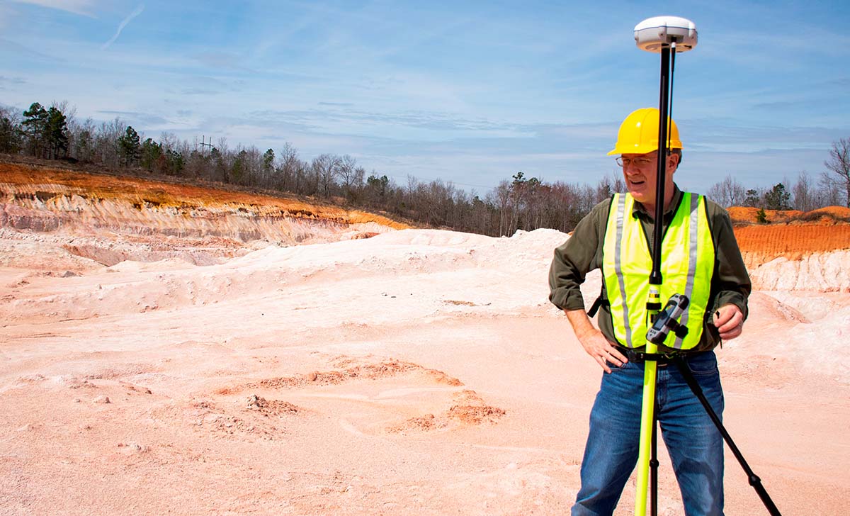
I was lucky enough to be part of the team that developed the first rudimentary RTK techniques in 1992 while working for a small Canadian firm, GeoSurv, in Ottawa, Canada. At the time, GPS was a very unreliable signal and SA/AS (selective availability and anti-spoofing) played havoc with our early attempts to establish good locations in a moving vehicle. I remember Paul Mrstik, GeoSurv President and founder, as he struggled to overcome the most persistent issues that prevented us from succeeding. Those were days of many trial and errors but eventually, Paul and his partner James Ferguson prevailed and we could use RTK for the first time in commercial applications.
Today, RTK is utilized across the world, and the use of satellite positioning is not restricted to the GPS constellation. That has led to the creation of a Global Navigation Satellite System (GNSS) that is being further transformed by unmanned vehicles and the miniaturization of GNSS receivers. A recent development from the GeoCue Group is proof of just how fast and powerful this transformation will be for all of those users.GeoCue (via its wholly owned AirGon subsidiary) announced it has completed the integration of the new DJI Phantom 4 Pro RTK (P4R) into their AirGon Sensor Processing Suite (ASPSuite). ASPSuite is well known as the post-processing solution for their proprietary “Loki direct geopositioning system” for DJI and other manufacturer’s drones. ASPSuite enables integration of the P4R with third-party L1/L2 GNSS base stations such as systems from Septentrio, Leica, Trimble, Tersus, TopCon, CHC and others in a high accuracy Post-Process Kinematic (PPK) workflow.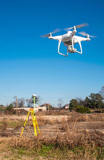 In addition to performing Post-Processed Kinematic (PPK) processing, ASPSuite includes support for options often required in engineering grade surveys such as:
- Vertical transforms (e.g. ellipsoid to country-specific geoids)
- Creation of and transformation between collection datums and local coordinate systems (“site calibration”)
- Full support for Loki direct geopositioning systems
- ASPSuite + the Phantom 4 Pro RTK drone – This kit includes camera calibration. It enables a full photogrammetric workflow in PPK mode using the customer’s L1/L2 base station. This is the highest accuracy method of performing drone surveying.
- ASPSuite only – This is for customers who have a survey-grade L1/L2 base station, already own the P4R drone and now need a proper surveying workflow. This offer includes camera calibration (customer pays to/from shipping to GeoCue for their P4R).
- ASPSuite + Survey Grade L1/L2 Static Base Station + Phantom 4 Pro RTK drone – This is for customers who are entering the drone mapping business but do not currently own a base station. This option includes camera calibration.
- ASPSuite + Survey Grade Base/Rover kit + Phantom 4 Pro RTK drone – This is for customers who need the ability to collect check points or to add ground control points as well as use the base for the network tie for the P4R. This option includes camera calibration.


Comments