The question of photogrammetry or LIDAR is one survey professionals have explored in great detail over the past few years. Many drone pilots face this question, and wonder which one of the solutions will work best for them. What’s the real answer to the question? As someone with a background in land surveying and photogrammetry, PwC Polska’s drone team manager Aleksander Buczkowski thinks the differences between each solution are obvious, but not so straightforward for someone without proper knowledge.
Growing up surrounded by thousands of maps from his father - a University professor of cartography -, Aleksander ended up following his steps. He obtained his Master's degree in GIS and Geospatial Technologies, and soon moved into business, where he spent a few years working on various projects related to HD maps for autonomous cars. However, two years ago, he developed an interest “in the possibilities of low altitude photogrammetry and remote sensing”, as he “realized combining the science that has been previously reserved to airplanes and satellites with drone platforms has a potential to disrupt the way we think about geospatial data.”
“When you start to get deeper, the level of detail and ease of use of this data, can transform the way businesses operate”, Aleksander continued. “Mining companies can generate detailed 3D models of their sites on a daily basis, energy companies create digital twins of their entire infrastructure, construction companies monitor progress on each square centimeter of their capital project. But it's not easy to manage such a change and make it work on a large scale. This is why I've joined PwC, that opened Global Center of Excellence in drone technologies in Warsaw, Poland.”
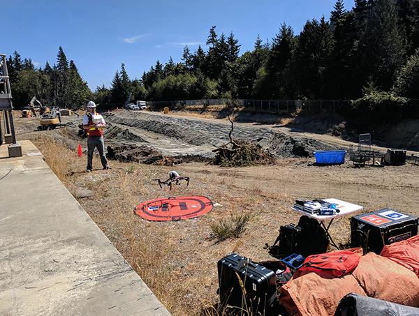
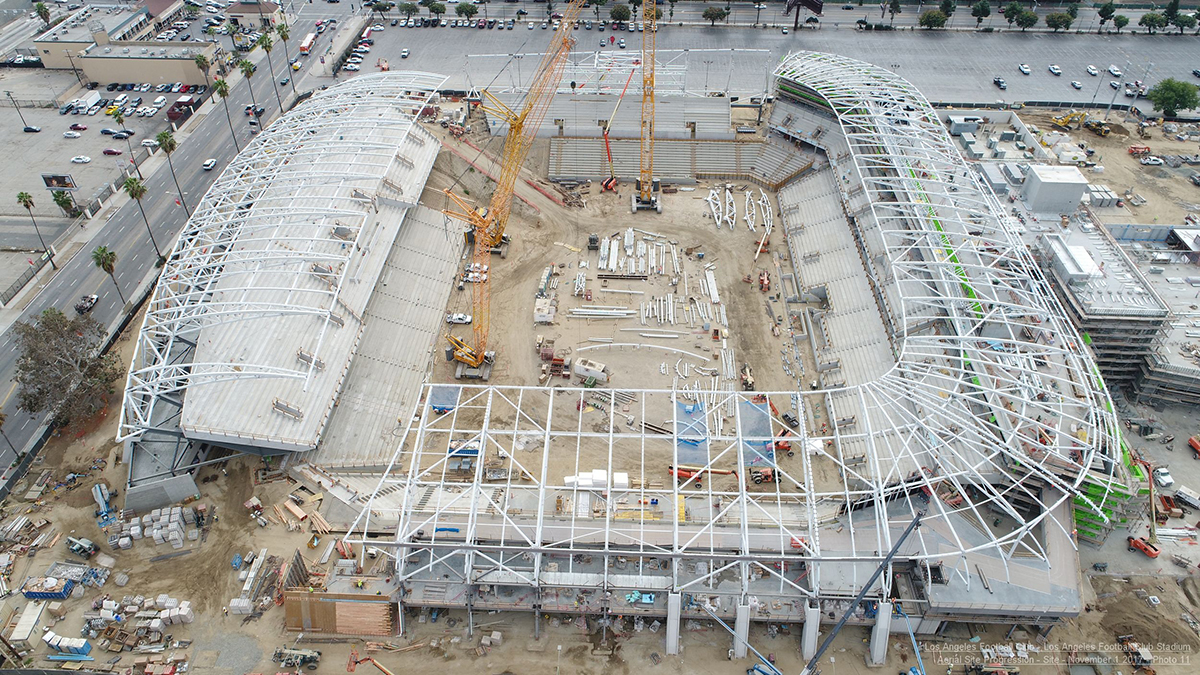
Image courtesy of Multivista Systems
As Manager of PwC Polska’s drone team, Aleksander helps companies around the world to successfully integrate drone into their workflow, which include different jobs such as: advisory projects on drone sales strategy; 3D models’ generation of mines in the middle of a jungle; and developing deep learning solutions to automate drone-based asset management.
To avoid the propagation of myths and misconceptions around UAV LiDAR and photogrammetry, as well as to answer many of the clients who ask him which solution is better, Aleksander decided to write the
“Drone LiDAR or Photogrammetry? Everything you need to know” article. In the article, he talks through the various factors (Data Output, Accuracy, Data Acquisition, Processing, Efficiency and Cost) that are taken into consideration and help differentiate, as well as understand how each technology works. As Aleksander says in his article: “these two technologies have as many differences as similarities”.
LiDAR advantages mean you can generate more precise 3D cloud files; it doesn’t depend on light conditions; achieves high relative accuracy (1-3cm) out of the box (with the help of an IMU (inertial motion unit) and GNSS receiver); and data acquisition and processing operations are much faster. However, LiDAR-generated files are non-RGB, meaning it can be challenging to interpret.
On the other hand, Photogrammetry generates full-color 3D and 2D models such as raw images, orthomaps, Digital Surface Models and 3D points clouds.
“Beautiful 3D point clouds and 3D mesh models, which are the output of photogrammetric processing, look so realistic that people don't realize the limitations of the technology”, Aleksander said. “The photogrammetry software is not yet able to reliably generate models of narrow objects on a large scale such as powerlines, it cannot penetrate a tree's canopy, requires specific weather conditions, a large number of ground control points and a long time to process the data. Each project and each case should be analyzed separately in order to select the optimal technology.”
In terms of cost, different factors come into account: the software & hardware, time of preparation, and the drone itself. Aleksander provides an estimate of $50,000 - $350,000 for a LiDAR solution, while for Photogrammetry the prices go down to $2,000 - $20,000. You might think it is clear what the better technology is once you look at these numbers, but time is money, and LiDAR might save you in that aspect depending on the use case business model.
“Photogrammetry data can weight over 30 times more than LiDAR”, Aleksander continued. “A regular photogrammetry inspection that I work with easily exceeds 50GB (compared to 2GB LiDAR file). It's a lot of data and you must be able to use, analyze and measure. On the other hand, LiDAR results aren’t always easy to interpret and non-engineers tend to be not capable of using it. At the end, one of the most important challenges you will face is how to make sure that your client will be able to use the data effectively and efficiently. Without solving this challenge you won't succeed in the drone business.”
That’s what it is about: which technology fits your or your client needs, not which one is “better”. Ultimatrly, this conclusion isn’t a decisive one, but one solution that might provide the kind of definitive answer professionals are looking for. Aleksander believes in “the future is the sensor fusion. Complementary LiDAR and camera sensors will be a single solution to rule them all”. Interestingly enough, in December 2017, we covered YellowScan’s presentation about the benefits of
Direct Georeferencing for simultaneous LiDAR / Photogrammetry versus Traditional Aerial Triangulation, where they showed the results between Photogrammetry vs LiDAR vs simultaneous LiDAR / Photogrammetry solutions, and more solutions
will be available soon.
Is this the future we’re looking at when talking about aerial surveys? As more and more people think of
drones as tools to accomplish a variety of tasks, we’ll certainly see a dedicated focus on the expanded capabilities of these tools, and that includes being able to collect data of all types and sizes.


Comments