

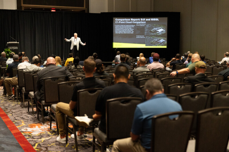
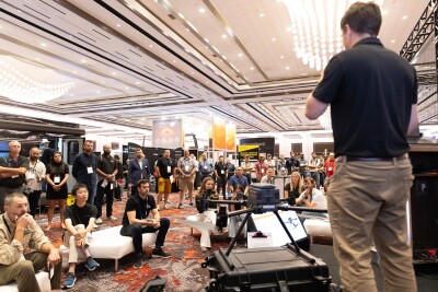
Somehow, we are less than a month from this year’s Commercial UAV Expo, being held back at Caesars Forum in Las Vegas, Nevada, September 1-3. There is so much to be excited about with this year’s event, from the exhibit hall floor to the indoor demonstrations to the keynote sessions. Of course, in addition to that, we once again have a robust conference program, covering the different corners and important topics for today’s industry. Over the next few weeks, we’ll be taking a deep look at what is on tap for this year’s conference program, starting today with a look at some of the enterprise and application-focused content.
To start, it’s worth looking at a session around how large utilities are scaling, entitled Building Drone Programs That Hold Up in the Real World of Energy and Utilities. This session brings together a series of presentations addressing the specific pressures utilities face as their programs grow. Bri O'Neill of Altimetis will walk through why UAS deployments so often stall in utility cybersecurity reviews and how to frame security as a systems integration challenge rather than a checklist. David Grasso of Washingtonia follows with a resilience audit model built around GNSS fragility and vendor concentration risk, arguing that fleets built during a period of stable navigation and a dominant vendor ecosystem need a new risk framework for the next several years. Robert Hart of LIDAR Drone Services, who has inspected more than 6 GW of solar assets, will share what it takes to run a thermography program at scale without sacrificing data quality. Larry Berkin of Xplorate Group brings survey data from 100 energy executives on why inspection practices need to change, and Trevor Perrott of Censys Technologies closes the session with a case study on turning vegetation management from a spot-check exercise into an auditable, defensible record, using a 73-mile BVLOS operation through Class C airspace as the backdrop.
That same utility-scale question, how do you keep pace once a program grows past its founding team, carries into Data, Pilots, and Compliance: How Major Utilities Are Scaling Their UAS Programs, moderated by Cynthia Huang of ACSL Inc. This panel focuses less on the technology and more on the organizational side of exponential scale: how utilities are training pilots as headcount multiplies, what breaks in data management once a fleet grows past a few dozen aircraft, and how compliance holds up as regulations continue to shift underneath a growing operation.
Two sessions turn the same lens on state departments of transportation and cross-industry inspection work. Scaling Drones Across the DOT: Operational Lessons from the Field, moderated by Geo Week's Carla Lauter, features MassDOT's Aeronautics Division explaining how it scaled a statewide program by training existing engineers and inspectors as remote pilots rather than standing up a separate aviation unit, alongside a case study from Altitude Integrity Group on how DOTs are using drones to document crash scenes faster and get lanes reopened sooner. Turning Drone Data into Business Value: Real-World UAS Inspection Strategies Across Industries broadens that out further, covering how inspection workflows, sensor selection, and asset management integration translate across energy, infrastructure, and construction alike.
The program also gets into the mechanics of scaling itself with Before You Scale: The Operational, Technical, and Strategic Realities of Building a Drone Program, a session spanning drone-in-a-box deployment across four very different contexts. Aaron Zhang of A2Z Drone Delivery on standing up overlapping regionwide autonomous drone services, Ania Burgess of Altimetis on treating utility drone-in-a-box site selection as a systems engineering decision rather than a real estate one, Ashish Parikh of Doodle Labs on the RF interference and vendor lock-in that only show up once a program leaves the demo stage, and Vincent Brown of the Frederick Police Department on why he chose to slow down a fully funded drone-as-first-responder rollout rather than rush it. Taken together, the session makes a clear case that the hardest part of scaling a drone program usually isn't the aircraft.
Rounding out the track, How Drone Operations Are Tackling Pests and Invasive Species shifts into land management and agriculture. Kenneth Bond of Lee County Mosquito Control District will share how his team scaled aerial mosquito control operations across tens of thousands of acres, Al Cire of Virginia State Parks will present case studies on detecting invasive plant species like tree-of-heaven and Eurasian watermilfoil using RGB imagery, and Jerimiah Contreras of FlyGuys will cover the fundamentals of capturing agricultural data growers can actually trust.
Six sessions, five industries, and one consistent thread: enterprise drone programs are no longer being judged on whether they can fly. They're being judged on whether they hold up once the mission count, the pilot count, and the pressure to prove ongoing value all increase simultaneously. For anyone building or managing a program at that stage, this track is worth clearing your schedule for.








Comments